
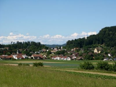
Othmarsingen, municipality in Switzerland
Location: Lenzburg District
Elevation above the sea: 395 m
Part of: RPV Lebensraum Lenzburg Seetal, RPV Unteres Bünztal
Shares border with: Dottikon, Hägglingen, Hendschiken, Lenzburg
Website: https://othmarsingen.ch
GPS coordinates: 47.40115,8.21528
Latest update: March 7, 2025 21:31
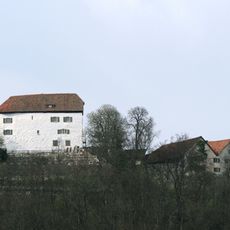
Brunegg Castle with tenant's house
2.3 km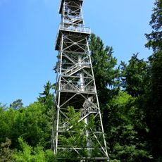
Maiengrünturm
2.1 km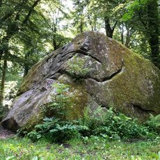
Römersteine von Lenzburg
1.7 km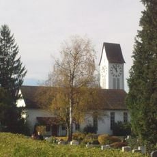
Reformed church
2.7 km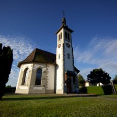
Reformed church
314 m
Kirche Brunegg
1.7 km
Reformed church Hendschiken
1.7 km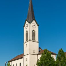
St. John catholic parish church
2.8 km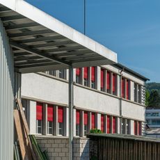
Office building
2.5 km
Goffersberg
2.7 km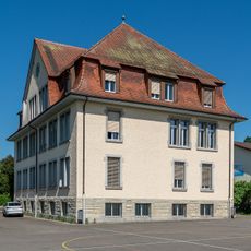
Old schoolhouse
2.7 km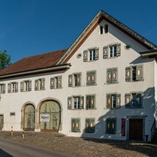
Former Sonne Inn
2.6 km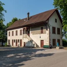
Cholerahaus / marksmen's club house
2.7 km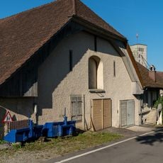
Tieffurtmühle stable barn
2.5 km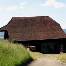
Castle barn
2.6 km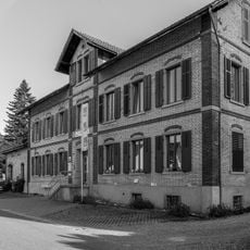
Former hat sewing shop
2.7 km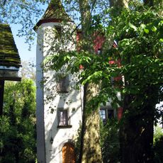
Gofischlössli
2.5 km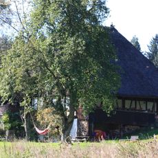
Thatched roof house
2.5 km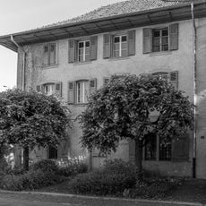
Country house Fildihof with barn
2.6 km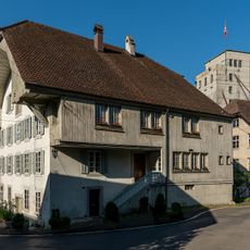
Tieffurt mill
2.5 km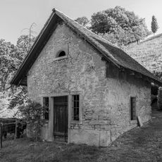
Former washhouse and rock cellar
2.5 km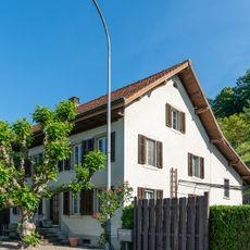
Farmhouse
2.6 km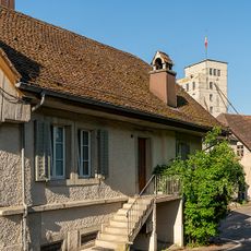
Tieffurtmühle former washhouse
2.5 km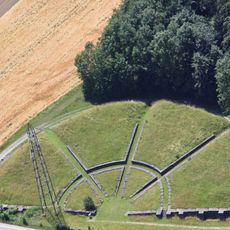
Roman theatre of Vicus Lindfeld
2 km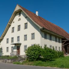
Double farmhouse / multipurpose building
2.8 km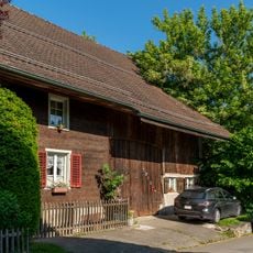
Former farmhouse
2.3 km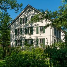
Dr. Obrist residential building
2.3 km
Catholic rectory
2.7 kmVisited this place? Tap the stars to rate it and share your experience / photos with the community! Try now! You can cancel it anytime.
Discover hidden gems everywhere you go!
From secret cafés to breathtaking viewpoints, skip the crowded tourist spots and find places that match your style. Our app makes it easy with voice search, smart filtering, route optimization, and insider tips from travelers worldwide. Download now for the complete mobile experience.

A unique approach to discovering new places❞
— Le Figaro
All the places worth exploring❞
— France Info
A tailor-made excursion in just a few clicks❞
— 20 Minutes