
Suhr, municipality in the canton of Aargau, Switzerland
Location: Aargau
Location: Aarau District
Elevation above the sea: 397 m
Part of: RPV Region Aarau
Shares border with: Aarau, Unterentfelden, Oberentfelden, Gränichen, Buchs
Website: http://suhr.ch
GPS coordinates: 47.37472,8.08056
Latest update: March 10, 2025 08:43
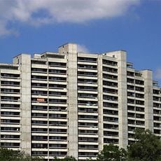
Telli Housing Estate
3.2 km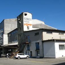
KiFF
3 km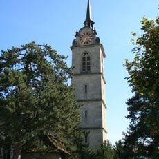
Reformed church
2.6 km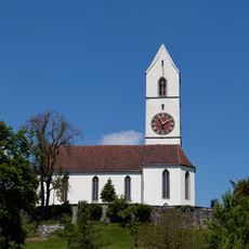
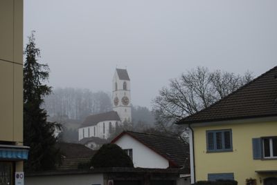
Evangelical reformed church
398 m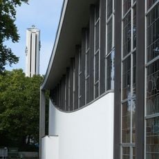
Holy Spirit catholic parish church
340 m
Reformierte Kirche Buchs
1.8 km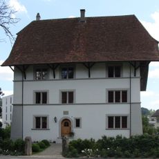
Under Baliff's house
2.2 km
St. Johannes catholic church
1.4 km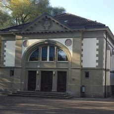
Old gymnasium
1.6 km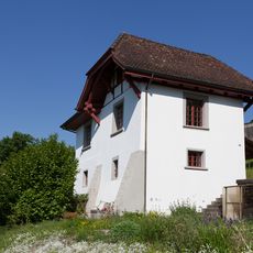
Former washhouse to the vicarage
357 m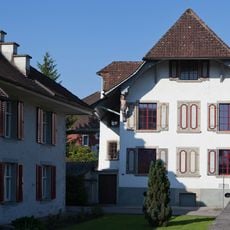
Salzhof
272 m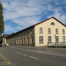
Former factory Rickenbach
2.8 km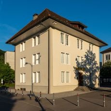
Chornhuus, former city hall with city archives
2.1 km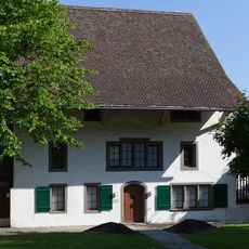
Local Museum, former Bailiwick
170 m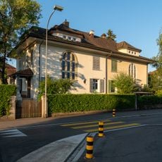
House
2.4 km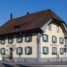
Bären Hotel
285 m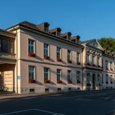
Verwaltungsgebäude Kantonsspital
2.3 km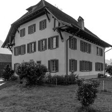
Manse
2.6 km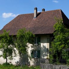
House
626 m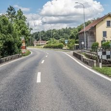
Wyna bridge
581 m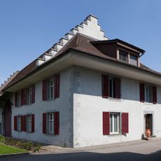
Economy building east of Salzhof
280 m
Industrial school building
3.1 km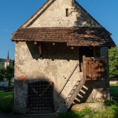
Former Ossuary
2.5 km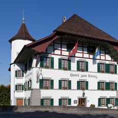
Gasthof zum Kreuz
461 m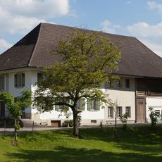
Wynahof
595 m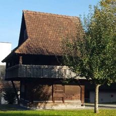
Granary at local museum
1.7 km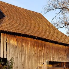
Granary
1.7 km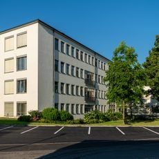
Women's hospital
2 kmVisited this place? Tap the stars to rate it and share your experience / photos with the community! Try now! You can cancel it anytime.
Discover hidden gems everywhere you go!
From secret cafés to breathtaking viewpoints, skip the crowded tourist spots and find places that match your style. Our app makes it easy with voice search, smart filtering, route optimization, and insider tips from travelers worldwide. Download now for the complete mobile experience.

A unique approach to discovering new places❞
— Le Figaro
All the places worth exploring❞
— France Info
A tailor-made excursion in just a few clicks❞
— 20 Minutes