
Hermetschwil-Staffeln, former municipality of Switzerland
Location: Aargau
Location: Bremgarten District
Location: Bremgarten
Elevation above the sea: 404 m
Website: http://hermetschwil.ch
GPS coordinates: 47.33306,8.34722
Latest update: April 2, 2025 18:57
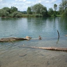
Flachsee
1.8 km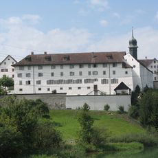
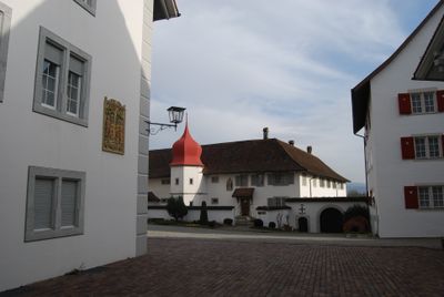
Benedictine monastery St. Martin
156 m
Kulturzentrum Bremgarten
2 km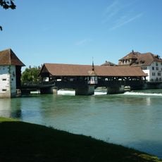
Covered wooden bridge over the river Reuss
2 km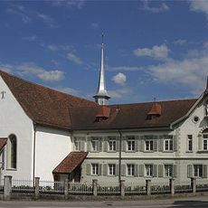
Church of the former capuchin monastery
1.8 km
Former Muri-Amthof
2 km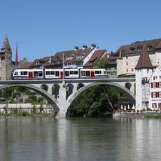
Bremgarten railroad bridge
1.9 km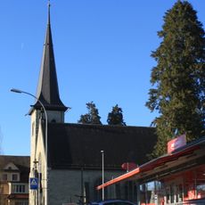
Reformed church
1.9 km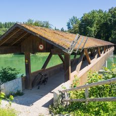
Dominilochsteg
165 m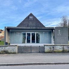
New Apostolic Church
1.7 km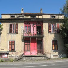
Kleiderfabrik Meyer & Co.
2 km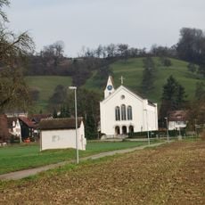
Roman catholic parish church
1.6 km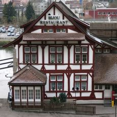
Former old shooting range
1.9 km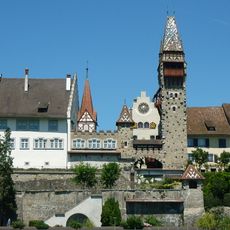
Muri-Amthof extension buildings
2 km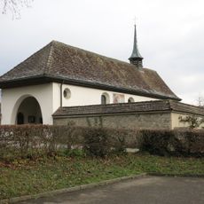
Emaus chapel
1.1 km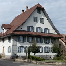
Former inn
242 m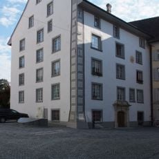
Weissenbach house
2 km
Gartenlaube
2 km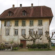
Farmhouse
1.9 km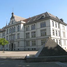
City schoolhouse
1.9 km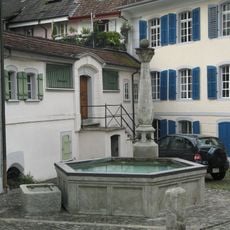
Zeughaus fountain
2 km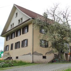
Residential house
2 km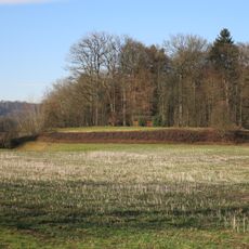
Geisshof, Neolithic-Bronze Age settlement site
515 m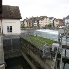
Museum of Reuss power station Bremgarten
2 km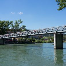
Isenlaufbrücke
1.8 km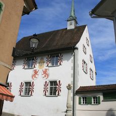
Former armory
2 km
House
2 km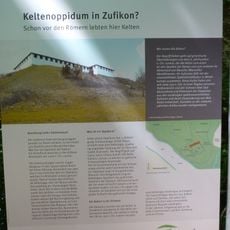
Defense system (earth fortification/refugium)
359 mReviews
Visited this place? Tap the stars to rate it and share your experience / photos with the community! Try now! You can cancel it anytime.
Discover hidden gems everywhere you go!
From secret cafés to breathtaking viewpoints, skip the crowded tourist spots and find places that match your style. Our app makes it easy with voice search, smart filtering, route optimization, and insider tips from travelers worldwide. Download now for the complete mobile experience.

A unique approach to discovering new places❞
— Le Figaro
All the places worth exploring❞
— France Info
A tailor-made excursion in just a few clicks❞
— 20 Minutes