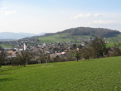
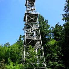
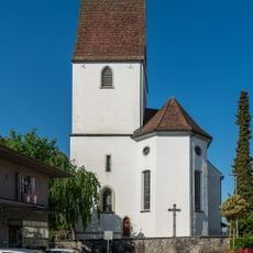
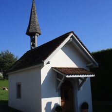
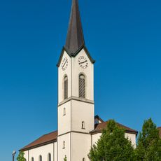
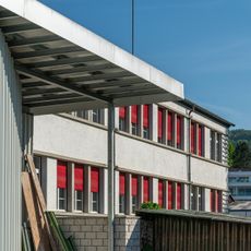
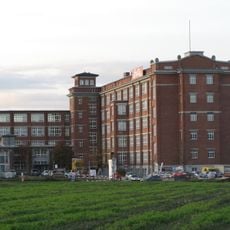
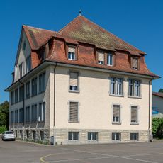
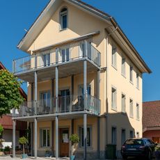
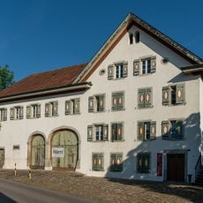
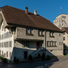
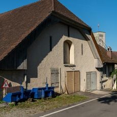
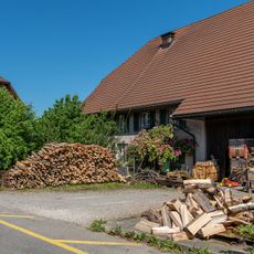
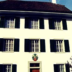
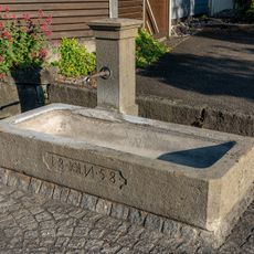
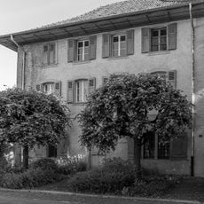
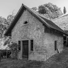
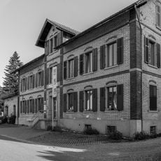
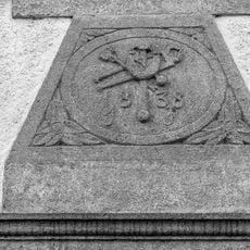
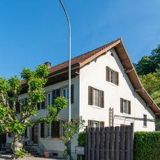
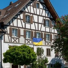
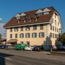
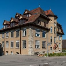
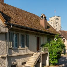
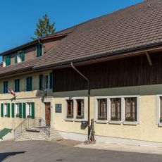
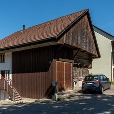
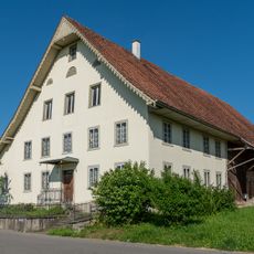
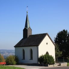
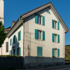
Hägglingen, municipality in the canton of Aargau in Switzerland
Location: Bremgarten District
Elevation above the sea: 473 m
Website: http://www.haegglingen.ch
Part of: RPV Unteres Bünztal
Shares border with: Dottikon, Niederwil, Othmarsingen, Tägerig, Wohlen, Wohlenschwil
Website: http://haegglingen.ch
GPS coordinates: 47.38914,8.25225
Latest update: April 20, 2025 21:55
Maiengrünturm
1.2 km
St. Michael catholic church
223 m
Chapel
2 km
St. John catholic parish church
1.1 km
Office building
1.3 km
Main building of former Bally factory
2.1 km
Old schoolhouse
923 m
Residential house
226 m
Former Sonne Inn
1.3 km
Tieffurt mill
1.6 km
Tieffurtmühle stable barn
1.6 km
Former farmhouse / Multipurpose building
337 m
Rectory of St. Michael church
201 m
Fountain, 1858
1.1 km
Country house Fildihof with barn
1.4 km
Former washhouse and rock cellar
939 m
Former hat sewing shop
1.1 km
Former blacksmith's shop - door jambs and shield over lintel
1.1 km
Farmhouse
906 m
Residential house
1.1 km
Former mill
1.2 km
School house
338 m
Tieffurtmühle former washhouse
1.6 km
Zum Kreuz Inn
171 m
Former granary
340 m
Double farmhouse / multipurpose building
305 m
Our Lady Chapel Rüti
2.1 km
Catholic rectory
1 kmReviews
Visited this place? Tap the stars to rate it and share your experience / photos with the community! Try now! You can cancel it anytime.
Discover hidden gems everywhere you go!
From secret cafés to breathtaking viewpoints, skip the crowded tourist spots and find places that match your style. Our app makes it easy with voice search, smart filtering, route optimization, and insider tips from travelers worldwide. Download now for the complete mobile experience.
A unique approach to discovering new places❞
— Le Figaro
All the places worth exploring❞
— France Info
A tailor-made excursion in just a few clicks❞
— 20 Minutes