
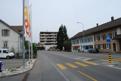
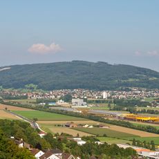
Wangen bei Olten, municipality in Switzerland
Location: Olten District
Elevation above the sea: 417 m
Website: http://wangenbo.ch
GPS coordinates: 47.34417,7.86944
Latest update: March 8, 2025 00:12
Born
2.5 km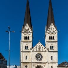
St. Martin parish church
2.3 km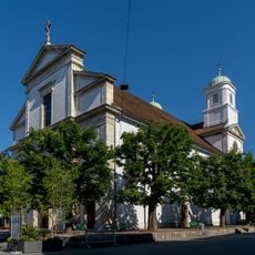
Christian catholic town church (1807)
2.6 km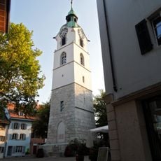
City tower (1521, 17th c.)
2.7 km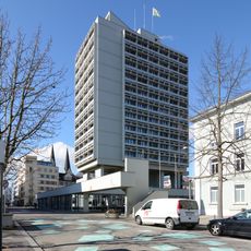
Stadthaus Olten
2.5 km
Kunstmuseum Olten
2.5 km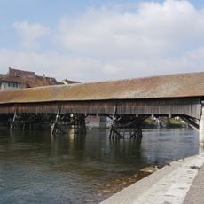
Covered wooden bridge over the Aare
2.8 km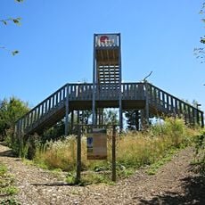
Swiss Prime Tower Bornwald
2.7 km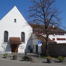
Capuchin monastery
2.7 km
Museum of Nature Olten
2.5 km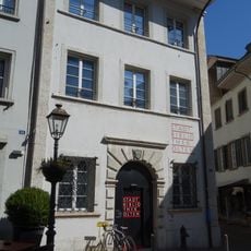
Administrative building
2.7 km
IPFO Haus der Fotografie
2.5 km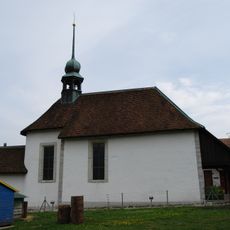
St. Laurentius chapel
1.1 km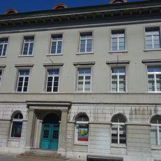
House (former building museum of nature)
2.5 km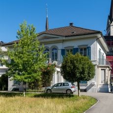
Catholic rectory
2.3 km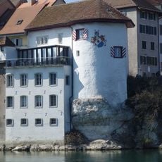
Fortifications
2.7 km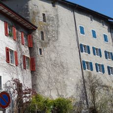
Witches' tower
2.6 km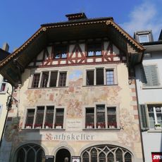
Rathskeller
2.7 km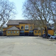
Gym Schützenmatte
2.6 km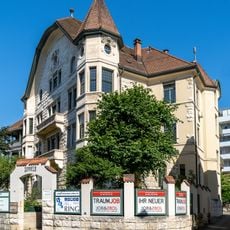
Villa Sonneck
2.4 km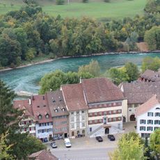
Rathaus Aarburg
3.3 km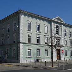
Hübeli schoolhouse
2.4 km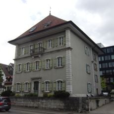
Martin-Disteli-Haus
2.8 km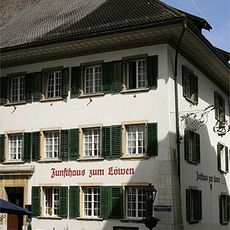
Löwen Hotel
2.7 km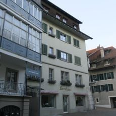
Former granary
2.7 km
Rectory
2.7 km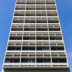
Town hall
2.5 km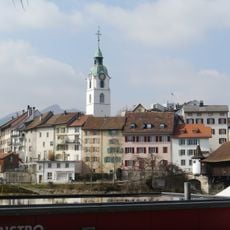
Old town, Roman vicus / medieval and modern town
2.7 kmReviews
Visited this place? Tap the stars to rate it and share your experience / photos with the community! Try now! You can cancel it anytime.
Discover hidden gems everywhere you go!
From secret cafés to breathtaking viewpoints, skip the crowded tourist spots and find places that match your style. Our app makes it easy with voice search, smart filtering, route optimization, and insider tips from travelers worldwide. Download now for the complete mobile experience.

A unique approach to discovering new places❞
— Le Figaro
All the places worth exploring❞
— France Info
A tailor-made excursion in just a few clicks❞
— 20 Minutes