
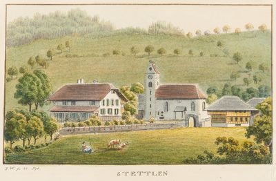
Stettlen, municipality in the canton of Bern in Switzerland
Location: Bern-Mittelland administrative district
Elevation above the sea: 570 m
Shares border with: Bolligen, Vechigen, Muri bei Bern, Ostermundigen
Website: https://stettlen.ch
GPS coordinates: 46.95944,7.52361
Latest update: March 23, 2025 23:26
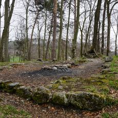
Ruin Schwandiholz
835 m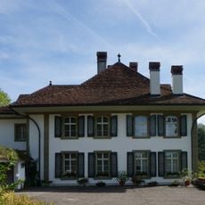
Sinneringen château
1.6 km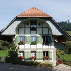
Stöckli (1840)
1.7 km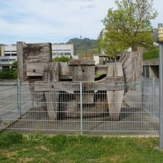
Horse
1.7 km
Dentenberg/Wirtschaft
1.9 km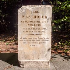
Kasthofer-Gedenkstätte
2 km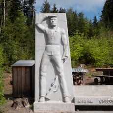
Guisan-Denkmal Dentenberg
2.4 km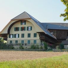
Farmhouse (1871)
1.1 km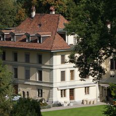
Rörswil country estate with park
1.8 km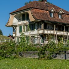
Stöckli
1.2 km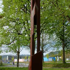
Still image
2 km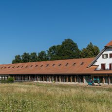
Marksmen's club house of the city of Bern
2.1 km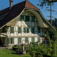
Former farmhouse
1.2 km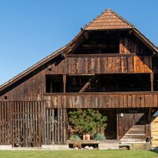
Granary
957 m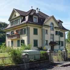
Manufacturer villa
807 m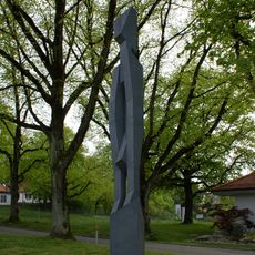
Steel man
2 km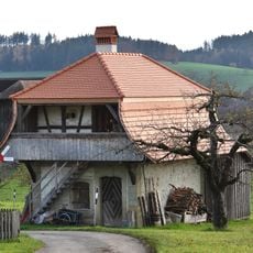
Bakehouse granary (1823)
781 m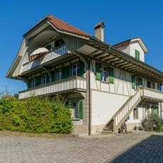
Former oven and wash house
1.2 km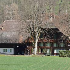
Former farmhouse
918 m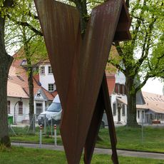
Steel wings
2 km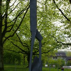
Pedestal climber
2 km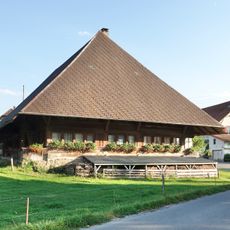
Farmhouse (1657)
1.1 km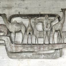
Arche Noah
1.1 km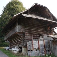
Granary (1724)
973 m
Stöckli (1797)
1.1 km
Stöckli (1845)
937 m
Farmhouse (1884)
815 m
Stöckli (1791)
1 kmVisited this place? Tap the stars to rate it and share your experience / photos with the community! Try now! You can cancel it anytime.
Discover hidden gems everywhere you go!
From secret cafés to breathtaking viewpoints, skip the crowded tourist spots and find places that match your style. Our app makes it easy with voice search, smart filtering, route optimization, and insider tips from travelers worldwide. Download now for the complete mobile experience.

A unique approach to discovering new places❞
— Le Figaro
All the places worth exploring❞
— France Info
A tailor-made excursion in just a few clicks❞
— 20 Minutes