
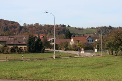
Mülligen, municipality in the canton Aargau in Switzerland
Location: Brugg District
Elevation above the sea: 362 m
Part of: RPV Brugg Regio
Shares border with: Windisch, Hausen, Lupfig, Birrhard
Website: https://muelligen.ch
GPS coordinates: 47.45806,8.24028
Latest update: March 11, 2025 10:14
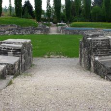
Amphitheater of Vindonissa
2.9 km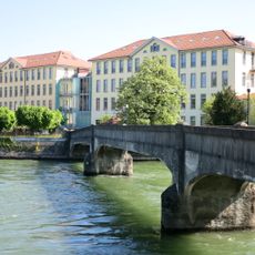
Former Kunz spinning mill
2.7 km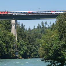
Eisenbahnbrücke Mellingen
3.8 km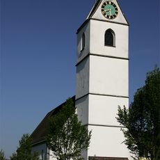
Evangelical reformed church
3.8 km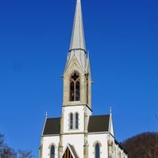
Reformed Church
2.7 km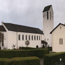
Roman catholic parish church Leodegar
782 m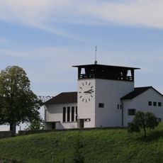
Evangelical reformed church
696 m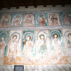
Cemetery chapel with frescoes
783 m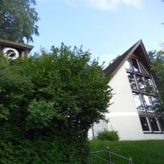
Reformed church Hausen
2 km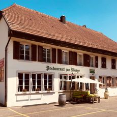
Zur Waage Restaurant
2.9 km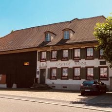
Zur Sonne Inn
2.7 km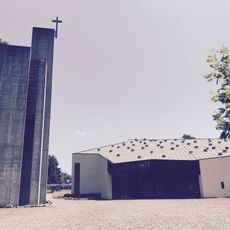
Roman catholic parish church of St. Mary
2.8 km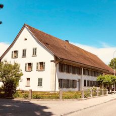
Bossart house
2.9 km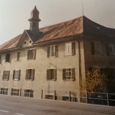
Former Bären Inn
2.4 km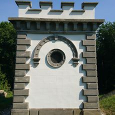
Reservoir Chapf
1.8 km
Reformed rectory Gebenstorf
2.7 km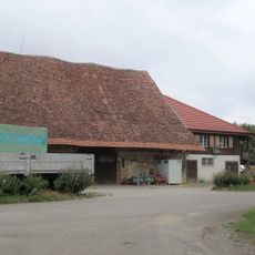
Lindhof barn
1.4 km
ABB Switzerland, archive collection
3.2 km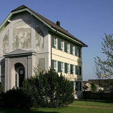
Gravesite of Heinrich Pestalozzi
3.7 km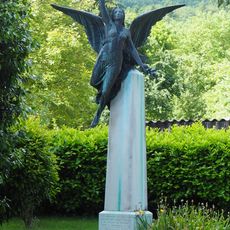
Bourbaki monument
3.8 km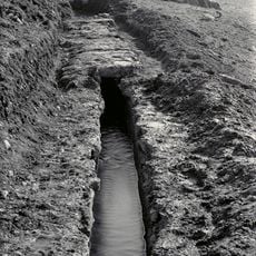
Neuquartier-im Winkel; water-bearing Roman water conduit to Vindonissa (section municipality of Hausen)
2.3 km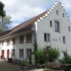
Former mill
115 m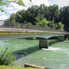
Reussbrücke Mülligen-Birmenstorf
380 m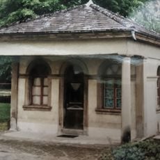
Spinnerei Kunz with former schoolhouse, Gutmannshaus and northern old building
2.7 km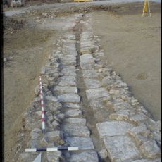
Stück-Soorematte; dead Roman water conduit to Vindonissa (section of Hausen community)
2.1 km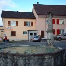
Village fountain
588 m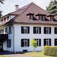
Neuhof manor house
3.8 km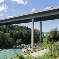
Reusstalviadukt Mülligen-Birmenstorf
1.6 kmVisited this place? Tap the stars to rate it and share your experience / photos with the community! Try now! You can cancel it anytime.
Discover hidden gems everywhere you go!
From secret cafés to breathtaking viewpoints, skip the crowded tourist spots and find places that match your style. Our app makes it easy with voice search, smart filtering, route optimization, and insider tips from travelers worldwide. Download now for the complete mobile experience.

A unique approach to discovering new places❞
— Le Figaro
All the places worth exploring❞
— France Info
A tailor-made excursion in just a few clicks❞
— 20 Minutes