
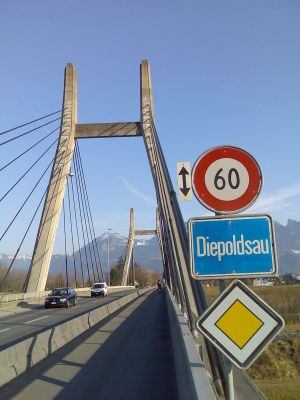
Diepoldsau, municipality in Switzerland
Location: canton St. Gallen
Location: Rheintal Constituency
Elevation above the sea: 408 m
Shares border with: Balgach, Oberriet, Widnau
Website: http://diepoldsau.ch
GPS coordinates: 47.38306,9.65000
Latest update: March 11, 2025 09:27
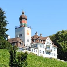
Schloss Heerbrugg
3.6 km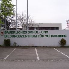
Bäuerliches Schul- und Bildungszentrum für Vorarlberg
2.1 km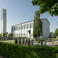
Nikolauskirche
3.2 km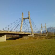
Trambrücke
872 m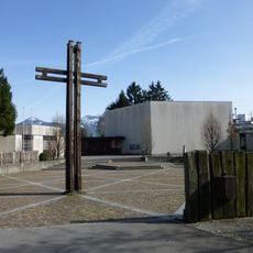
Guthirtenkirche
3.7 km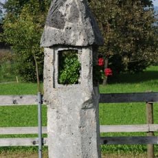
Richtstätte
3.2 km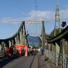
Wiesenrainbrücke
2.9 km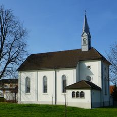
St. Antoniuskapelle
2.9 km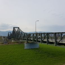
Rietbrücke
613 m
Pfarrkirche Hl. Konrad (Herrenried)
2.8 km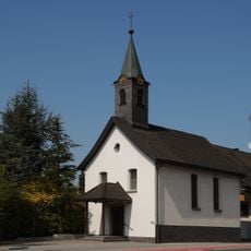
Nepomukkapelle
2.8 km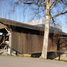
Nöllenbrücke
3.5 km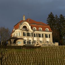
Villa Schmidheiny
3.7 km
Madlen
3.7 km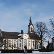
St. Joseph catholic church
2.5 km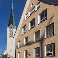
Evangelische Kirche Diepoldsau
364 m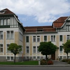
Altes Krankenhaus
3.3 km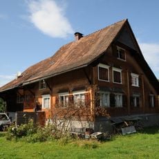
Bauernhof (Anlage), Rheintalhof
3.2 km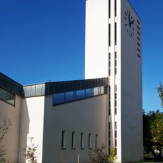
Evangelische Kirche Heerbrugg
3.8 km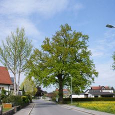
Pedunculate oak natural monument
3.3 km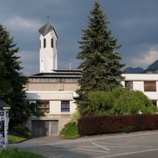
Pfarrzentrum hl. Konrad, Pfarrsaal und Priesterwohnungen
2.7 km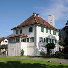
Ehem. Pfarrhof
3.2 km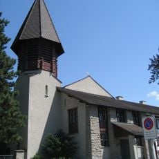
Bruder-Klausen-Kirche Heerbrugg
3.7 km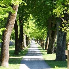
Natural monument "Schillerallee"
3.3 km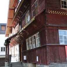
Altach, Bauern 51
3.1 km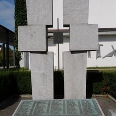
Kriegerdenkmal
3.2 km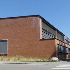
Volksschule Hasenfeld
3.8 km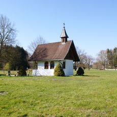
Rosary Chapel in Lustenau
3.6 kmVisited this place? Tap the stars to rate it and share your experience / photos with the community! Try now! You can cancel it anytime.
Discover hidden gems everywhere you go!
From secret cafés to breathtaking viewpoints, skip the crowded tourist spots and find places that match your style. Our app makes it easy with voice search, smart filtering, route optimization, and insider tips from travelers worldwide. Download now for the complete mobile experience.

A unique approach to discovering new places❞
— Le Figaro
All the places worth exploring❞
— France Info
A tailor-made excursion in just a few clicks❞
— 20 Minutes