
Hemberg, municipality in the canton of St. Gallen, Switzerland
Location: Toggenburg Constituency
Elevation above the sea: 935 m
Shares border with: Brunnadern, Ebnat-Kappel, Mogelsberg, Schönengrund, Urnäsch, Wattwil, Nesslau-Krummenau, St. Peterzell
Website: https://hemberg.ch
GPS coordinates: 47.30050,9.17539
Latest update: March 3, 2025 18:10
Ackerhaus
5.4 km
Reformierte Kirche Brunnadern
5 km
Hochhamm
5.1 km
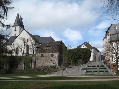
Reformierte Kirche St. Peterzell
1.9 km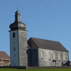
Katholische Kirche St. Johannes der Täufer
282 m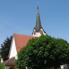
Reformed church
4.8 km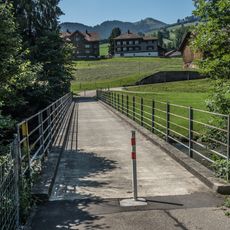
Krümmenswil-Brücke
6.1 km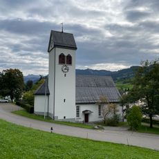
Church building
6 km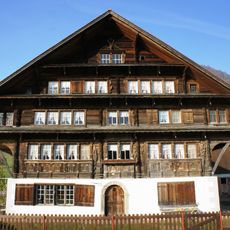
Haus Näf, Furt
3.6 km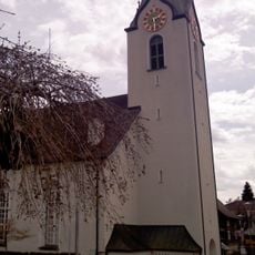
Evangelische Kirche
29 m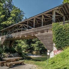
Brandholzbrücke
5.5 km
Wolzen-Brücke
6.1 km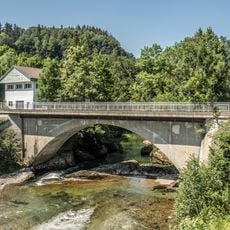
Trempelbrücke
5.8 km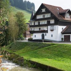
Alter Hirschen
3.3 km
Die Heie
5.9 km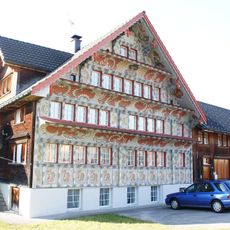
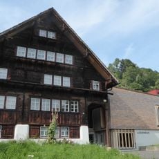
Rotes Haus, Bächli
907 m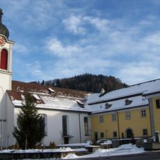
Propstei St. Peterzell
1.9 km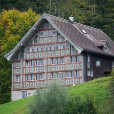
Haus Bädli
1.7 km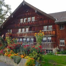
Farmhouse
5.5 km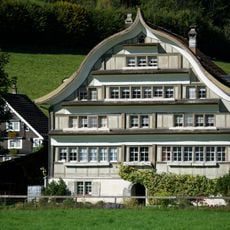
Fabrikantenhaus
3.7 km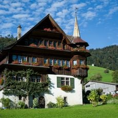
Unteres Türmlihaus, Furt
3.4 km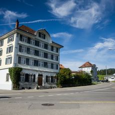
Fabrikantenhaus, Wald
5 km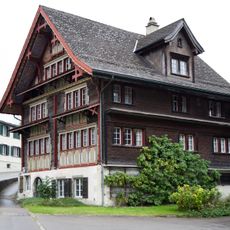
Rotes Haus
1.9 km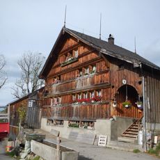
Farmhouse in Urnäsch, Letz 731
4.2 km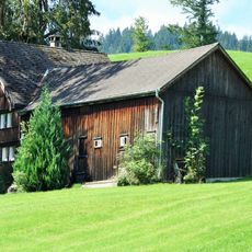
Farmhouse
6.6 km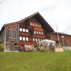
Farmhouse
6.4 km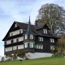
Oberes Türmlihaus, Furt
3.3 km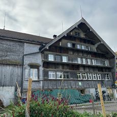
Ehemaliges Bad Bruggli
4.3 kmVisited this place? Tap the stars to rate it and share your experience / photos with the community! Try now! You can cancel it anytime.
Discover hidden gems everywhere you go!
From secret cafés to breathtaking viewpoints, skip the crowded tourist spots and find places that match your style. Our app makes it easy with voice search, smart filtering, route optimization, and insider tips from travelers worldwide. Download now for the complete mobile experience.

A unique approach to discovering new places❞
— Le Figaro
All the places worth exploring❞
— France Info
A tailor-made excursion in just a few clicks❞
— 20 Minutes