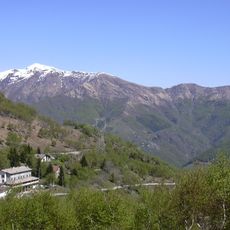
Camusio, mountain in Switzerland
Location: Lugano District
Elevation above the sea: 1,650 m
GPS coordinates: 46.09934,8.89327
Latest update: June 5, 2025 22:19
Monte Tamaro
2.2 km
Santa Maria degli Angeli
2.1 km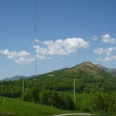
Monte Ceneri transmitter
4.9 km
Sant'Ambrogio Parish Church
6 km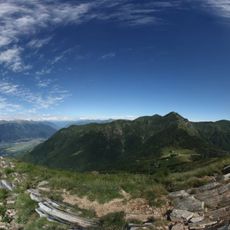
Monte Gambarogno
5 km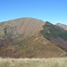
Monte Gradiccioli
2.7 km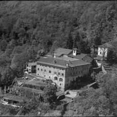
Monastery complex of Santa Maria Assunta
5.4 km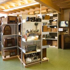
Museum of Radio
4.9 km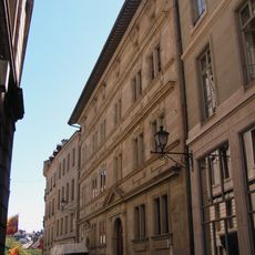
Funkturm Monte Ceneri
4.9 km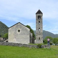
San Mamete Church
2.3 km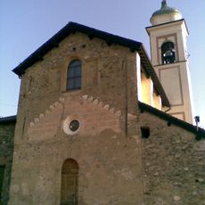
San Michele Parish Church
5.8 km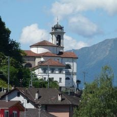
San Carlo Church and rectory
6.1 km
Maria Immacolata e di San Giorgio Parish Church
6.1 km
Spirito Santo Parish Church
3 km
Sant'Agata Parish Church
5.6 km
Chiesa di Santa Maria Assunta
5.4 km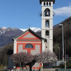
San Giovanni Battista
6.1 km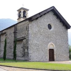
Santi Giovanni evangelista e Martino Parish Church
3.5 km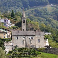
San Bartolomeo Parish Church
6.1 km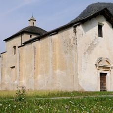
Santa Maria del Rosario Church
3.4 km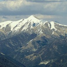
Monte Pola
3.9 km
Capuchin Archives of Italian Switzerland
5.4 km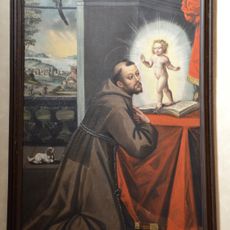
Museum of the Monastery of Santa Maria Assunta
5.3 km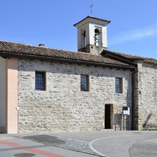
Santa Maria oratory
5.7 km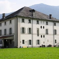
Casa Manetti
3.3 km
Bailiff's House
3.4 km
Palazzetto Ferroni
5.7 km
Oratorio di Santa Maria delle Grazie
5.9 kmReviews
Visited this place? Tap the stars to rate it and share your experience / photos with the community! Try now! You can cancel it anytime.
Discover hidden gems everywhere you go!
From secret cafés to breathtaking viewpoints, skip the crowded tourist spots and find places that match your style. Our app makes it easy with voice search, smart filtering, route optimization, and insider tips from travelers worldwide. Download now for the complete mobile experience.

A unique approach to discovering new places❞
— Le Figaro
All the places worth exploring❞
— France Info
A tailor-made excursion in just a few clicks❞
— 20 Minutes