
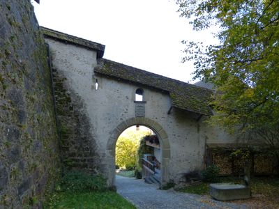
City fortification, city fortification of Laupen in the canton of Bern, Switzerland
Location: Laupen
Part of: list of cultural properties in Laupen
GPS coordinates: 46.90278,7.23914
Latest update: March 13, 2025 10:09
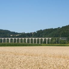
Railroad viaduct BN over the Saane
3.7 km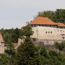
Castle
207 m
Auried (Amphibian Spawing Area)
2.1 km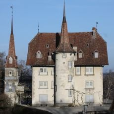
Manoir de Praroman et chapelle Sainte-Anne au Grand-Vivy
5.9 km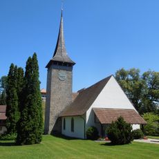
Reformed church, rectory, kiln house and covered staircase
4.6 km
Davidkirche Flamatt
5.5 km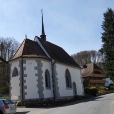
Kapelle St. Beatus, Sensebrücke
4.7 km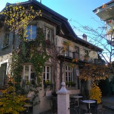
Laupen
170 m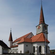
St. German parish church
5.3 km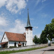
Kirche Mühleberg
5.9 km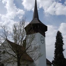
Reformed church, rectory and bakehouse
5.5 km
Catholic church center and church of Our Lady of the Annunciation
5.8 km
Statthalterhaus
6.4 km
St. Josef
5.2 km
Katholische Kirche St. Jakobus der Ältere (1790, 1905)
1.3 km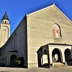
St. Margareth parish church
4.2 km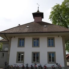
Elementary school building
1.8 km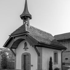
Kapelle Unserer Lieben Frau von den sieben Schmerzen
4.1 km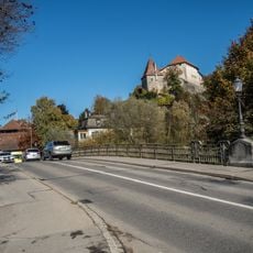
Bridge over the Sense
150 m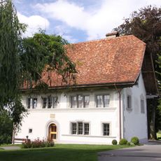
De Weck manor house
5 km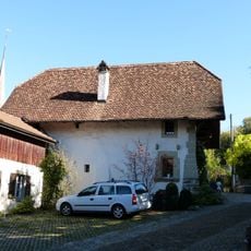
Freienhof with old chaplaincy
122 m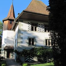
Zollhaus Flamatt
4.8 km
Ferme, Galmis
5.2 km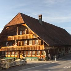
Farmhouse of the host Wilhelm Vonlanthen
5.3 km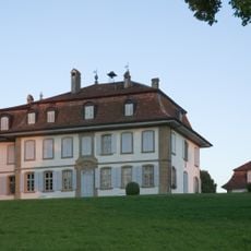
Landsitz von Vogelshus, Vogelshaus, Bösingen
3.7 km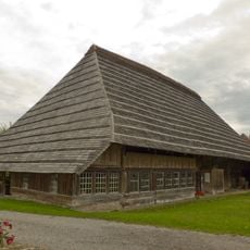
Althus Jerisberghof
6.5 km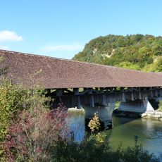
Saanebrücke Gümmenen
4.6 km
Wohnbauten, Neueneggstrasse 8, Wünnewil-Flamatt
5.5 kmVisited this place? Tap the stars to rate it and share your experience / photos with the community! Try now! You can cancel it anytime.
Discover hidden gems everywhere you go!
From secret cafés to breathtaking viewpoints, skip the crowded tourist spots and find places that match your style. Our app makes it easy with voice search, smart filtering, route optimization, and insider tips from travelers worldwide. Download now for the complete mobile experience.

A unique approach to discovering new places❞
— Le Figaro
All the places worth exploring❞
— France Info
A tailor-made excursion in just a few clicks❞
— 20 Minutes