
Ferme, bouwwerk in Hauterive, Zwitserland
Location: Hauterive
Location: Canton of Fribourg
Part of: list of cultural properties in Hauterive FR
Address: Route de Fribourg 82, 1725 Posieux 1725 1725
GPS coordinates: 46.76067,7.09593
Latest update: March 31, 2025 08:49
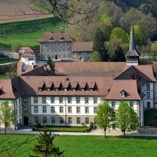
Abbey of Hauterive
1.7 km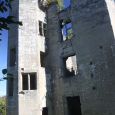
Illens Castle
2.7 km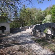
Ste-Apolline Bridge and Chapel
3.1 km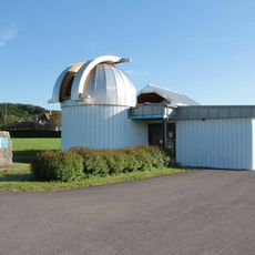
Épendes Observatory
3.3 km
Institut agricole de Grangeneuve
1.7 km
Vers-le-Château, ville médiévale
2.4 km
Espace Nuithonie
4.7 km
Notre-Dame-de-la-Visitation chapel
4.3 km
Vers-Saint-Pierre former parish church
3.1 km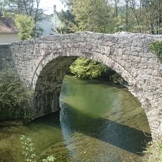
Sainte-Apolline bridge
4.5 km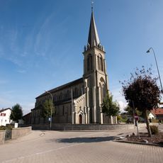
St. Vincent church
4.9 km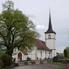
Saint-Julien parish church
2.9 km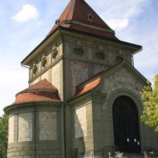
Chapelle du Sacré-Coeur
203 m
Church Saints-Pierre-et-Paul
3.7 km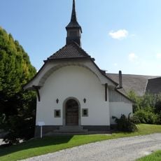
Sainte-Famille chapel
4.4 km
Notre-Dame-de-l'Immaculée-Conception parish church
2.5 km
Catholic church of Arconciel
2.6 km
Ciba research center and laboratories (Ilford)
4.4 km
Saint-Étienne parish church
3.9 km
Pont de la Glâne
3.6 km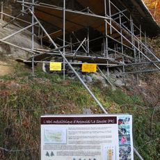
La Souche, mesolithic shelter
1.4 km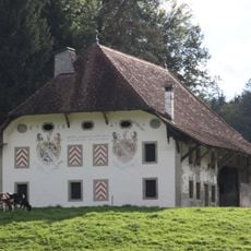
Farm of Hauterive abbey
1.4 km
Petite Sarine
1.6 km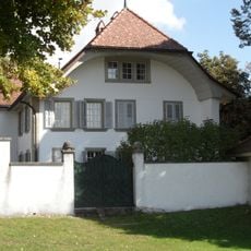
Petit-Marly château
4.4 km
Le Pré aux Moines farmhouse
4.5 km
Landerset Manor
3.7 km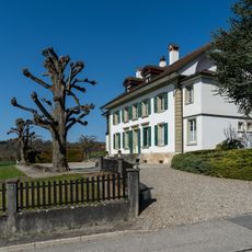
Country house Reyff
3.6 km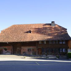
Ferme
3.9 kmReviews
Visited this place? Tap the stars to rate it and share your experience / photos with the community! Try now! You can cancel it anytime.
Discover hidden gems everywhere you go!
From secret cafés to breathtaking viewpoints, skip the crowded tourist spots and find places that match your style. Our app makes it easy with voice search, smart filtering, route optimization, and insider tips from travelers worldwide. Download now for the complete mobile experience.

A unique approach to discovering new places❞
— Le Figaro
All the places worth exploring❞
— France Info
A tailor-made excursion in just a few clicks❞
— 20 Minutes