
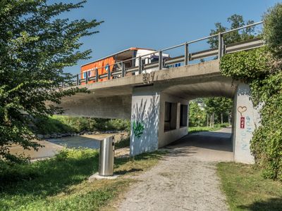
Umfahrung-Lichtensteig-Brücke, bridge in Wattwil (SG), Switzerland
Location: canton St. Gallen
Inception: 1983
Made from material: concrete
GPS coordinates: 47.31678,9.08139
Latest update: March 2, 2025 23:25
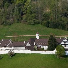
Kapuzinerinnenkloster Wattwil
1.7 km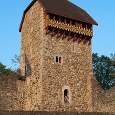
Iberg Castle, St. Gallen
2.1 km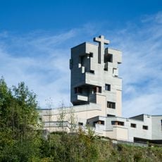
Katholische Kirche St. Gallus
845 m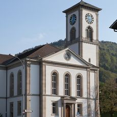
Reformierte Kirche Wattwil
1.5 km
Katholische Kirche St. Felix und Regula
1.6 km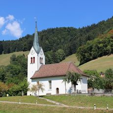
Kirche Krinau
2.2 km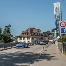
Postbrücke
1.7 km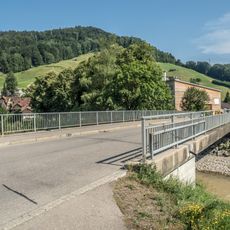
Floozbrücke
140 m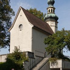
Loretokapelle (1680)
1.7 km
Thurbrücke-Äuli
2.2 km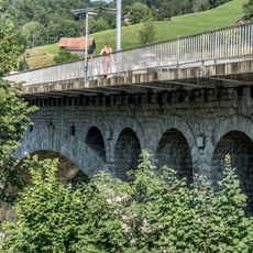
Thurviadukt
538 m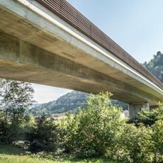
Umfahrung-Wattwil-Brücke
485 m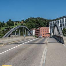
Rietwisbrücke
2.2 km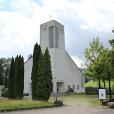
Evangelisch-reformierte Kirche
918 m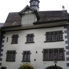
Old town hall
787 m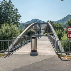
Volkshaussteg
1.9 km
Äuli-Brücke
1.8 km
Schleusenbrücke
720 m
Schomattensteg
1.2 km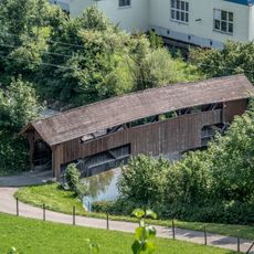
Thurotexbrücke
1.2 km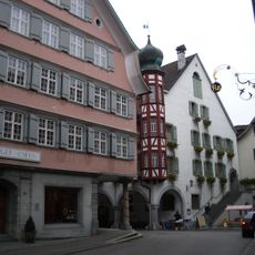
Toggenburger Museum
886 m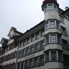
Bezirksgebäude
839 m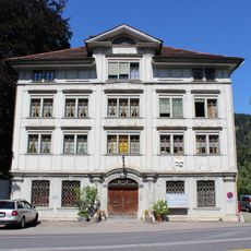
Fabrikantenhaus
404 m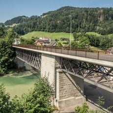
Stadtbrücke
714 m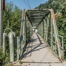
Weiherhussteg
687 m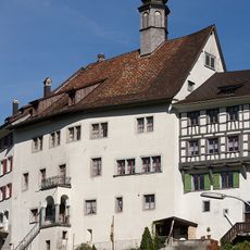
Rathaus (1687)
916 m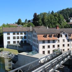
Spinnerei Stadtbrücke
767 m
Residential building Quelle
2.1 kmReviews
Visited this place? Tap the stars to rate it and share your experience / photos with the community! Try now! You can cancel it anytime.
Discover hidden gems everywhere you go!
From secret cafés to breathtaking viewpoints, skip the crowded tourist spots and find places that match your style. Our app makes it easy with voice search, smart filtering, route optimization, and insider tips from travelers worldwide. Download now for the complete mobile experience.

A unique approach to discovering new places❞
— Le Figaro
All the places worth exploring❞
— France Info
A tailor-made excursion in just a few clicks❞
— 20 Minutes