
Oberwiera, municipality in the district Zwickau, in Saxony, Germany
Location: Zwickau
Elevation above the sea: 268 m
Website: https://gemeindeoberwiera.de
GPS coordinates: 50.89139,12.53722
Latest update: March 6, 2025 05:46

Kloster Remse
4.5 km
Stadtkirche St. Bartholomäus
4.8 km
Zumroda church
2.7 km
Villa mit Garten, Bahnhofstraße 4
4.9 km
Kirche Pfaffroda
3.6 km
St. Georgenkirche
4.5 km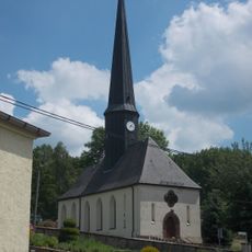
Dorfkirche Schwaben
3.2 km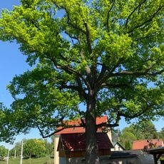
ND Stieleiche Meeraner Straße
508 m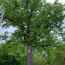
Stiel-Eiche in Weidensdorf
4.7 km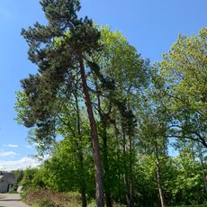
ND Schwarzkiefer Oberwiera
101 m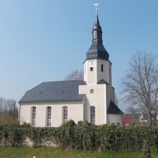
Laurentiuskirche
2.9 km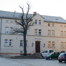
Ehemalige Schule, heute Vereinshaus Kirchplatz 3
4.8 km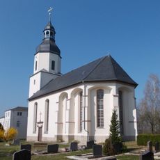
Marienkirche
3.9 km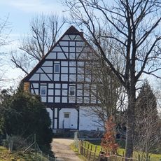
Forststraße 55
3.5 km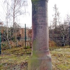
Station 121 Pfaffroda
4 km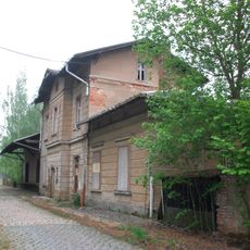
Haltepunkt Remse
5 km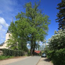
2 Winterlinden
2.9 km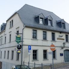
Wohnhaus in Ecklage Carl-Wilhelm-Richter-Platz 5
4.9 km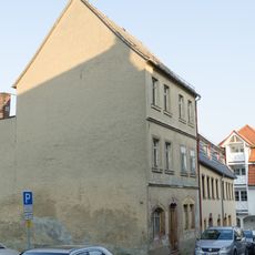
Wohnhaus in ehemals geschlossener Bebauung Niedere Kirchgasse 6
4.9 km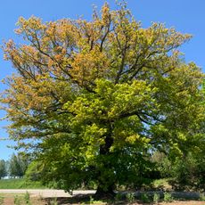
ND Stieleiche Waldenburg
4 km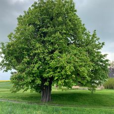
Kastanie Kleinbernsdorf
5 km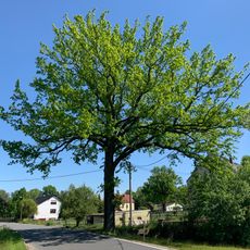
ND Stieleiche Hauptstraße Oberwiera
550 m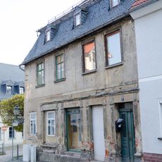
Wohnhaus in Ecklage und geschlossener Bebauung Niedere Kirchgasse 11
4.9 km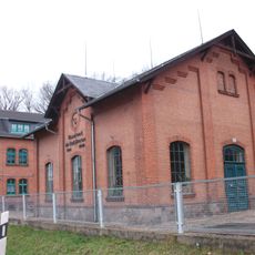
Wasserwerk der Stadt Meerane Waldenburg
4.5 km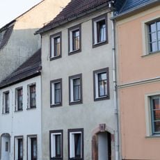
Wohnhaus in geschlossener Bebauung Niedere Kirchgasse 1
4.8 km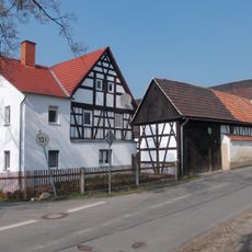
Wohnstallhaus, Stallscheune und Seitengebäude (Torhaus) eines Vierseithofes Waldenburger Straße 16
3.1 km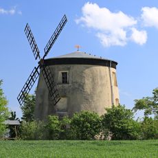
Holländermühle Tettau
2.7 km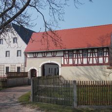
Wohnstallhaus und Seitengebäude (Torhaus) eines Vierseithofes Waldenburger Straße 55
2 kmReviews
Visited this place? Tap the stars to rate it and share your experience / photos with the community! Try now! You can cancel it anytime.
Discover hidden gems everywhere you go!
From secret cafés to breathtaking viewpoints, skip the crowded tourist spots and find places that match your style. Our app makes it easy with voice search, smart filtering, route optimization, and insider tips from travelers worldwide. Download now for the complete mobile experience.

A unique approach to discovering new places❞
— Le Figaro
All the places worth exploring❞
— France Info
A tailor-made excursion in just a few clicks❞
— 20 Minutes