
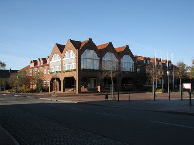
Leck, municipality in Germany
Location: Nordfriesland district
Elevation above the sea: 6 m
Website: http://leck.de
GPS coordinates: 54.77444,8.97361
Latest update: March 8, 2025 07:26
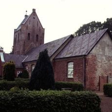
Klixbüll church
7.5 km
Rantzauhöhe
4 km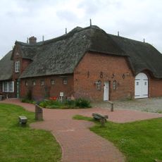
Leck-Huus
498 m
Leckfeld
2.5 km
Leckfeld
2.2 km
Gewässer des Bongsieler Kanal-Systems
5.1 km
Heide- und Magerrasenlandschaft am Ochsenweg und im Soholmfeld
4.6 km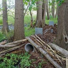
Wälder an der Lecker Au
3.5 km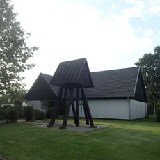
Læk Danske Kirke
712 m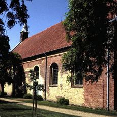
Christ Church
9.4 km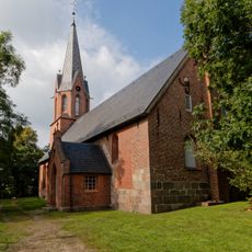
St. Willehadus Church
294 m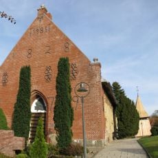
Bargum Church
8.1 km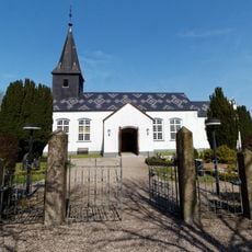
Ladelund Kirche
8.1 km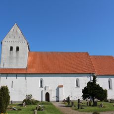
Braderup Kirche
8.5 km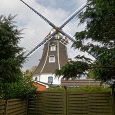
Windmühle „Jenny“
3.2 km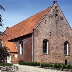
St. Michael's Church
6.8 km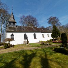
St. Laurentius
5.7 km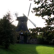
Aeolus wind mill
8.2 km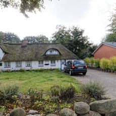
Wohnhaus
508 m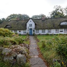
Wohnhaus
505 m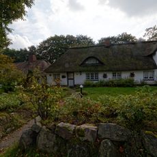
Wohnhaus
529 m
Catherine's Church
5.3 km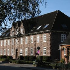
Finanzamt Nordfriesland
266 m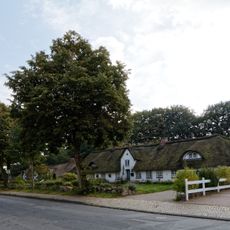
Wohnhausgruppe Fischerhäuser
508 m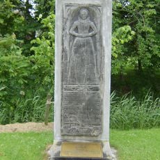
Grabstein Margarete Hans (1614)
8 km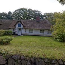
Wohnhaus
542 m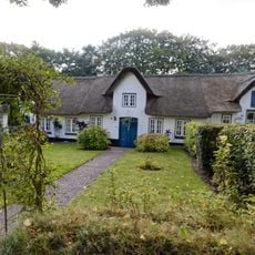
Wohnhaus
549 m
Wohnhaus
556 mVisited this place? Tap the stars to rate it and share your experience / photos with the community! Try now! You can cancel it anytime.
Discover hidden gems everywhere you go!
From secret cafés to breathtaking viewpoints, skip the crowded tourist spots and find places that match your style. Our app makes it easy with voice search, smart filtering, route optimization, and insider tips from travelers worldwide. Download now for the complete mobile experience.

A unique approach to discovering new places❞
— Le Figaro
All the places worth exploring❞
— France Info
A tailor-made excursion in just a few clicks❞
— 20 Minutes