
Sand am Main, municipality in the district of Haßberge in Bavaria in Germany
Location: Haßberge
Elevation above the sea: 227 m
Website: http://sand-am-main.de
GPS coordinates: 49.98333,10.60000
Latest update: March 3, 2025 02:13

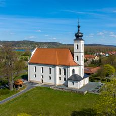
Wallfahrtskirche
1.3 km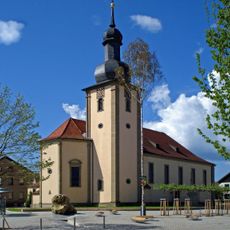
Pfarrkirche
1 km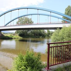
Luitpoldbrücke
2.2 km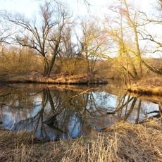
Altmain und Sandmagerrasen bei Limbach
1.6 km
Pfarrkirche
3.3 km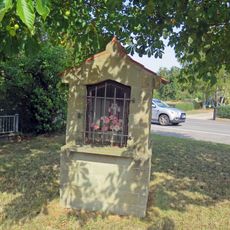
Wegkapelle
3.1 km
Wegkapelle
951 m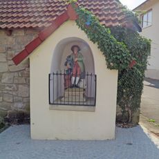
Wegkapelle
3.3 km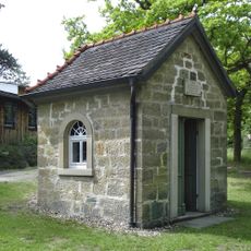
Lourdeskapelle
1.3 km
Naturwaldreservat Mordgrund
3.1 km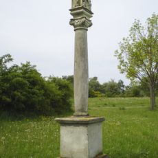
Bildstock
486 m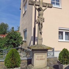
Wegkreuz
3.2 km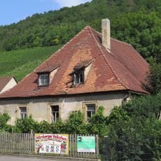
Wohnhaus
2.2 km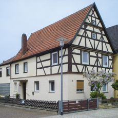
Wohnhaus
1.1 km
Kriegerdenkmal
1 km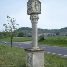
Bildstock
1.8 km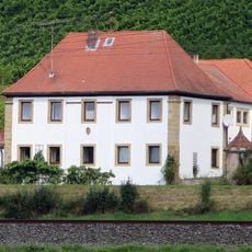
Verwalterhaus
2.3 km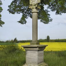
Bildstock
2 km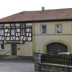
Gasthof
920 m
Gasthaus
994 m
Spitzberg und Gänsleite bei Limbach
1.1 km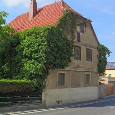
Wohnhaus
3.1 km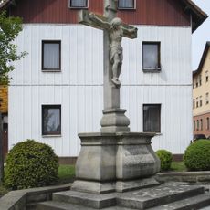
Wegkreuz
967 m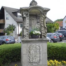
Bildstock
766 m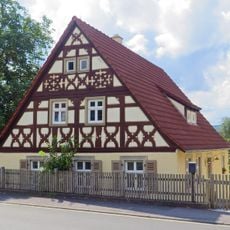
Wohnhaus
2.2 km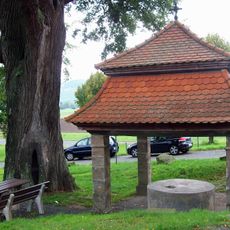
Zisterne
1.3 km
Marienfigur
3.2 km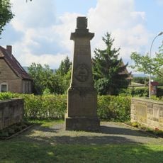
Kriegerdenkmal
2.2 kmVisited this place? Tap the stars to rate it and share your experience / photos with the community! Try now! You can cancel it anytime.
Discover hidden gems everywhere you go!
From secret cafés to breathtaking viewpoints, skip the crowded tourist spots and find places that match your style. Our app makes it easy with voice search, smart filtering, route optimization, and insider tips from travelers worldwide. Download now for the complete mobile experience.

A unique approach to discovering new places❞
— Le Figaro
All the places worth exploring❞
— France Info
A tailor-made excursion in just a few clicks❞
— 20 Minutes