
Reifenberg, municipality in Rhineland-Palatinate, Germany
Location: Thaleischweiler-Fröschen - Wallhalben
Elevation above the sea: 350 m
Website: http://vgthal.de
GPS coordinates: 49.28222,7.50889
Latest update: March 10, 2025 02:35
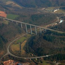
Schwarzbachtalbrücke
6.9 km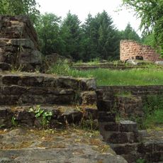
Burgruine Steinenschloss
7.3 km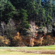
Mühlenweg
4 km
Hahnberghütte
7.5 km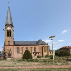
St. Laurentius (Contwig)
6.9 km
Contwig station
7.1 km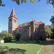
Protestant church Nünschweiler
6.6 km
Maria Königin der Engel
5.5 km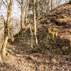
Burg Wiesbach
7.2 km
Auf der Pottschütthöhe
3 km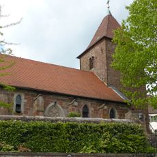
St. Martin Großbundenbach
6.9 km
Ludwig-Katz-Haus
3.9 km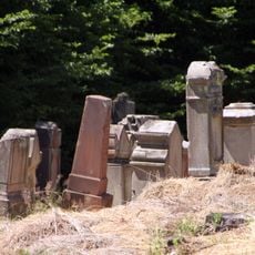
Jüdischer Friedhof Herschberg
2.9 km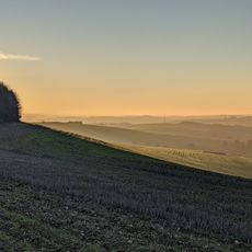
Battweiler Höhe
2.9 km
Auf dem Hausgiebel
1.8 km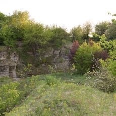
Weihertalkopf
6.8 km
Alte Tongrube
8.5 km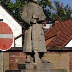
War memorial Thaleischweiler
5.7 km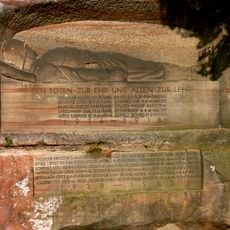
Kriegerdenkmal (Winterbach)
3.6 km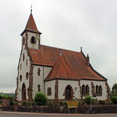
Evangelische Kirche (Battweiler)
3.4 km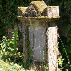
Jüdischer Friedhof Wallhalben
3.9 km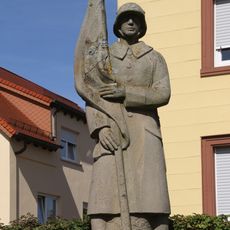
War memorial Höhfröschen
5.6 km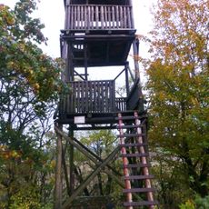
Aussichtsturm Schmitshausen
2.2 km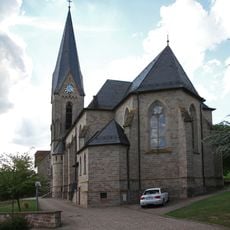
St. Antonius (Massweiler)
1.7 km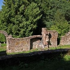
Chapel of Saint Cyriacus Meisenbach
4.6 km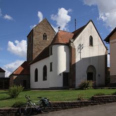
Protestant church
2 km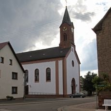
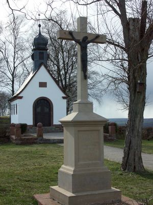
St. Wendelin (Reifenberg)
143 m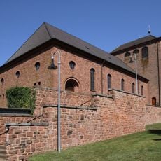
St. Margareta (Thaleischweiler)
5.4 kmReviews
Visited this place? Tap the stars to rate it and share your experience / photos with the community! Try now! You can cancel it anytime.
Discover hidden gems everywhere you go!
From secret cafés to breathtaking viewpoints, skip the crowded tourist spots and find places that match your style. Our app makes it easy with voice search, smart filtering, route optimization, and insider tips from travelers worldwide. Download now for the complete mobile experience.

A unique approach to discovering new places❞
— Le Figaro
All the places worth exploring❞
— France Info
A tailor-made excursion in just a few clicks❞
— 20 Minutes