
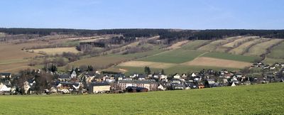
Königswalde, municipality of Germany
Location: Erzgebirgskreis
Elevation above the sea: 537 m
Shares border with: Vejprty, Kryštofovy Hamry, Sehmatal, Jöhstadt
Website: http://koenigswalde.de
GPS coordinates: 50.54667,13.04722
Latest update: March 6, 2025 12:23
Bärenstein
4.7 km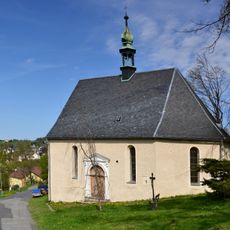
Church of Saint Martin
5.4 km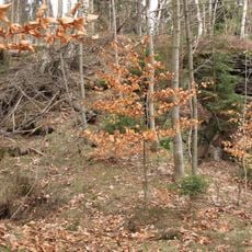
Schlossstein (Bärenstein)
3.9 km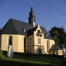
Erlöserkirche
5.1 km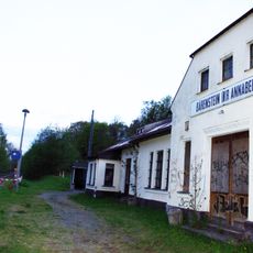
Bärenstein (Kr Annaberg) station
4.5 km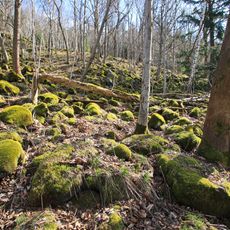
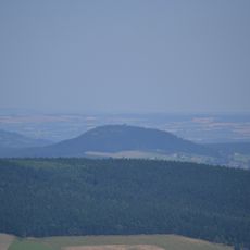
Pöhlberg
2.2 km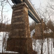
Železniční most Vejprty–Bärenstein
4.8 km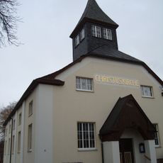
Christuskirche
3.9 km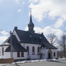
St. Bonifatius
5.4 km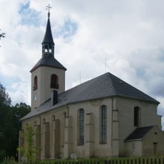
St.-Salvator-Kirche
5 km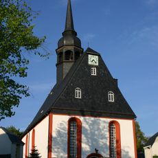
St. Trinitatiskirche
232 m
Trosky pomníku nejasného účelu v Údolní ulici ve Vejprtech
4.8 km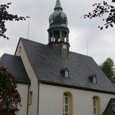
St.-Margarethen-Kirche
4.2 km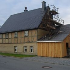
Wohnhaus Karlsbader Straße 25
3.6 km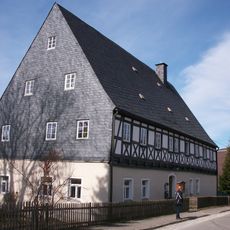
Pfarrhaus (ehemals auch Schule) Mildenauer Straße 1
112 m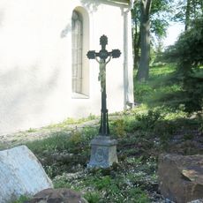
Kříž u kaple svatého Martina ve Vejprtech
5.5 km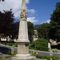
Polish-Saxon Post Milestone in Jöhstadt
4.7 km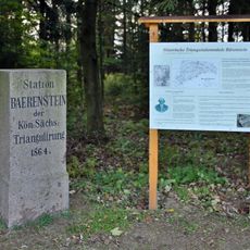
Station 131 Bärenstein
4.7 km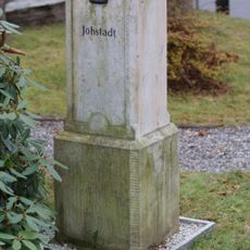
Kgl.-sächs. Postmeilenstein Markt
4.7 km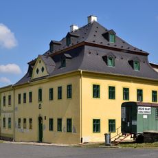
Dům čp. 309
5.6 km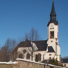
Pauluskirche
3.9 km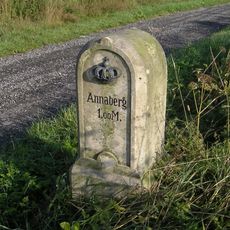
Kgl.-sächs. Postmeilenstein Bärenstein Annaberger Straße
3.4 km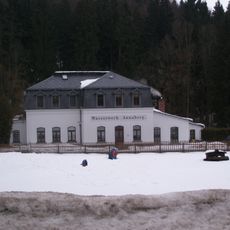
Wasserwerk Annaberg
2.5 km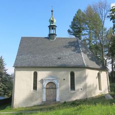
Kaple svatého Martina ve Vejprtech
5.4 km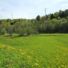
Pöhlbachtal
3.8 km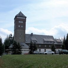
Berggasthaus mit Aussichtsturm Bergstraße 18
4.7 km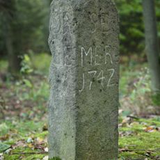
Gedenkstein Bergstraße 18 (bei)
4.7 km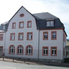
Gasthaus (heute Kirchgemeindehaus) Jöhstädter Straße 2
124 mReviews
Visited this place? Tap the stars to rate it and share your experience / photos with the community! Try now! You can cancel it anytime.
Discover hidden gems everywhere you go!
From secret cafés to breathtaking viewpoints, skip the crowded tourist spots and find places that match your style. Our app makes it easy with voice search, smart filtering, route optimization, and insider tips from travelers worldwide. Download now for the complete mobile experience.

A unique approach to discovering new places❞
— Le Figaro
All the places worth exploring❞
— France Info
A tailor-made excursion in just a few clicks❞
— 20 Minutes