
Унтеркирнах, municipality in Germany
Location: Schwarzwald-Baar district
Location: Villingen-Schwenningen VVG
Elevation above the sea: 815 m
Shares border with: Villingen-Schwenningen, Моьнхвайлер
Website: https://unterkirnach.de
GPS coordinates: 48.07889,8.36472
Latest update: March 7, 2025 00:17
Tannhörnle
6.3 km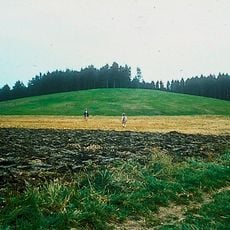
Magdalenenberg
7 km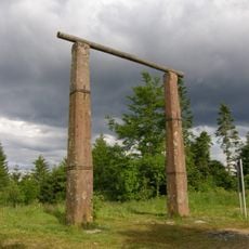
Triberg Gallows
8.1 km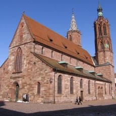
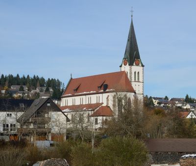
Villinger Münster
7.3 km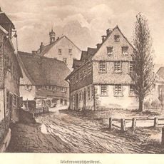
St. George's Abbey in the Black Forest
5.4 km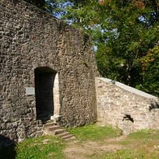
Ruine Kirneck
2.2 km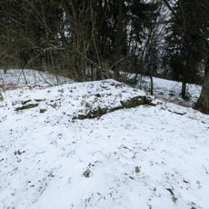
Ruine Warenburg
7.7 km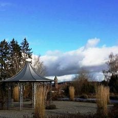
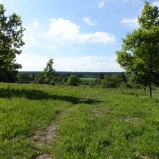
Hubenloch
6.8 km
Landesberufsschule für das Hotel- und Gaststättengewerbe
7.4 km
Franziskanermuseum Villingen-Schwenningen
7.2 km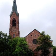
Lorenzkirche
5.7 km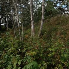
Ruine Runstal
5.9 km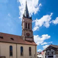
St. Martin
5.9 km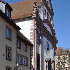
Benediktinerkirche
7.1 km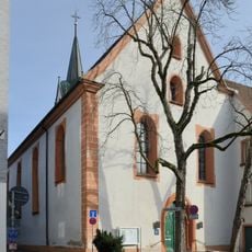
Johanneskirche (Villingen)
7.5 km
Kapuzinerkloster Villingen
7.6 km
Mönchsee-Weiherwiesen
5.7 km
Stöcklewaldturm
8.4 km
Zehndersches Haus
7.4 km
Heimatmuseum Schwarzes Tor
5.7 km
Pfaffenweiler
6.3 km
Zeughaus
7.3 km
Gifitzenmoos
5.3 km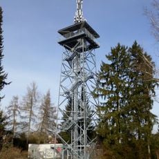
Hubenloch Observation Tower
7 km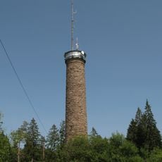
Stöcklewald Tower
8.4 km
Blue Boxx
7.7 km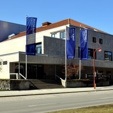
Theater am Ring
7.1 km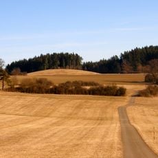
1 Eiche, Magdaleneneiche
6.9 kmReviews
Visited this place? Tap the stars to rate it and share your experience / photos with the community! Try now! You can cancel it anytime.
Discover hidden gems everywhere you go!
From secret cafés to breathtaking viewpoints, skip the crowded tourist spots and find places that match your style. Our app makes it easy with voice search, smart filtering, route optimization, and insider tips from travelers worldwide. Download now for the complete mobile experience.

A unique approach to discovering new places❞
— Le Figaro
All the places worth exploring❞
— France Info
A tailor-made excursion in just a few clicks❞
— 20 Minutes