Tannhörnle, Nature reserve in Villingen-Schwenningen, Germany
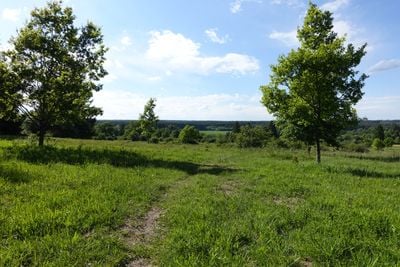
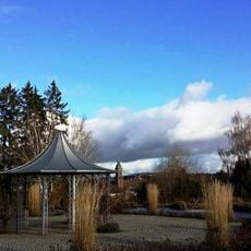
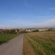
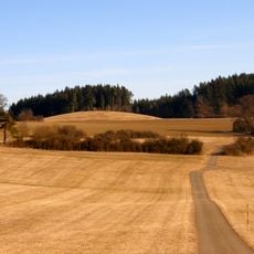
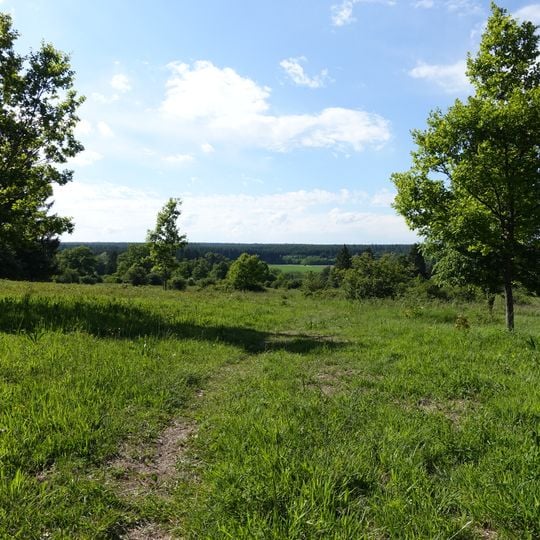
Tannhörnle is a 766-metre elevation between the southern edge of Villingen and Pfaffenweiler, whose north-eastern slope holds a 23.2-hectare nature reserve. A worn dirt path crosses bright green meadow grass, with a line of trees and shrubs dividing it from the flat field behind. The terrain is uneven, with no built structures in the meadow itself.
The name was first recorded in 1320 as "an danhorn", then referring to a wood on the hill. The dry grassland was grazed as common land (Allmende), mainly by sheep; weavers, dyers, bleachers, fullers and tanners in Villingen profited, as street names such as Gerberstraße and Färberstraße recall. The eastern part of the north slope was made a nature reserve by decree of 17 September 1982.
The name Tannhörnle was first recorded in 1320 as "an danhorn", referring to a wood on the hill. The former common pasture (Allmende) was grazed mainly by sheep, and in Villingen weavers, dyers, bleachers, fullers and tanners lived from it; Gerberstraße, Färberstraße and Webergasse in the old town still recall these trades. Today sheep and goats graze the dry grassland only to maintain the landscape.
The reserve lies between the southern edge of Villingen and Pfaffenweiler, west of the Magdalenenberg; a worn dirt path climbs the meadow from the south. The Warenbach forms the northern boundary, and the Villingen Süd landscape protection area surrounds the reserve on the east, north and west. Grazing with sheep and goats maintains the dry grassland, so keep to the path.
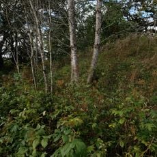
Three species of gentian flowers grow here, plants that are otherwise uncommon in the surrounding region. These rare blooms reveal the surprising botanical diversity hidden within this modest reserve.
The community of curious travelers
AroundUs brings together thousands of curated places, local tips, and hidden gems, enriched daily by 93,877 contributors worldwide.