
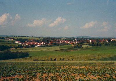
Schwaikheim, municipality in Germany
Location: Rems-Murr
Location: Winnenden GVV
Elevation above the sea: 276 m
Website: http://schwaikheim.de
GPS coordinates: 48.87139,9.35306
Latest update: March 7, 2025 10:10
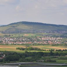
Korber Kopf
2.3 km
Sörenberg
2.6 km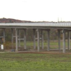
Zipfelbachtalbrücke
2.3 km
Erhartskirche
2.8 km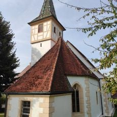
Peterskirche
3.6 km
Mauritiuskirche
737 m
Ulrichskirche
3.4 km
Sörenberg
2.3 km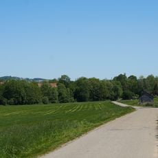
Zipfelbachtalaue
1.8 km
Feuerwehrmuseum Winnenden
3.1 km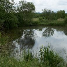
Kleiner Teich
1.5 km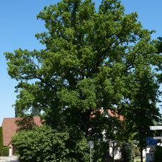
Eiche am Überbach
3.1 km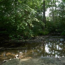
Auenwald mit Teichen zwischen Buchenbach und Mühlkanal
3.4 km
Südwestabhang des Korber Kopfs
2.4 km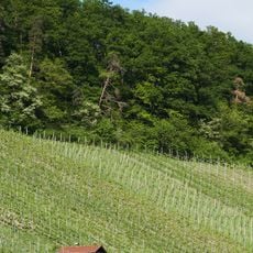
Steppenheidezone zwischen den Weinbergen und dem Wald
2.6 km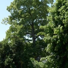
Baumbestand bei der Kirche
3.6 km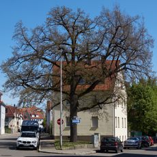
Schiller-Eiche
3 km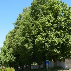
Lindenreihe Friedhof
3.7 km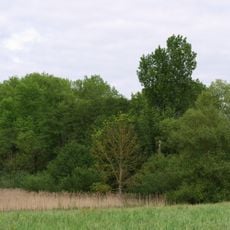
Teufelsbrunnen
1.5 km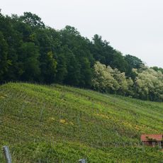
Geologischer Aufschluss und Steppenheide über den Weinbergen
2.5 km
Gehölzbestandener Hohlweg
935 m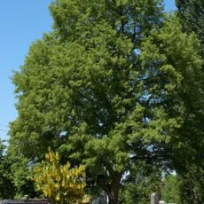
Linde 81190420011
3.2 km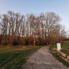
Auenwaldrest
1.2 km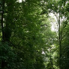
Gehölzbestandener Hohlweg
1 km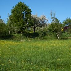
Wiesenhang im Zipfelbachtal
2.1 km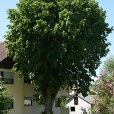
1 Linde
3.3 km
Erbach-Linde
864 m
Schilfsandstein-Terrasse am Korber Kopf
2.6 kmVisited this place? Tap the stars to rate it and share your experience / photos with the community! Try now! You can cancel it anytime.
Discover hidden gems everywhere you go!
From secret cafés to breathtaking viewpoints, skip the crowded tourist spots and find places that match your style. Our app makes it easy with voice search, smart filtering, route optimization, and insider tips from travelers worldwide. Download now for the complete mobile experience.

A unique approach to discovering new places❞
— Le Figaro
All the places worth exploring❞
— France Info
A tailor-made excursion in just a few clicks❞
— 20 Minutes