
Altenfurt, district of Nuremberg, Germany
Location: Nuremberg
Elevation above the sea: 340 m
GPS coordinates: 49.40639,11.17417
Latest update: March 3, 2025 20:14

Altenfurt Nord
747 m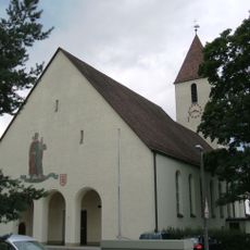
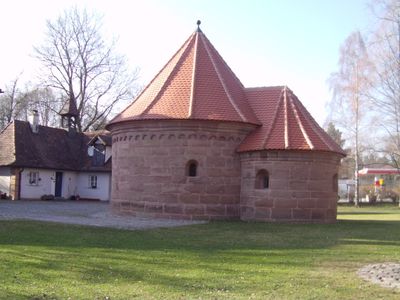
St. Sebaldus
176 m
Pfarrkirche St. Marien
2.1 km
Langwasser Südost
2 km
St. Johannes und Katharina
710 m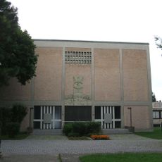
Heilig-Geist
1.7 km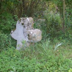
Fischbach
2 km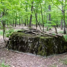
Ehemalige Flakbatterie bei Fischbach
1.5 km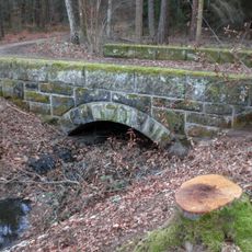
Röthenbacher Brücklein
1.8 km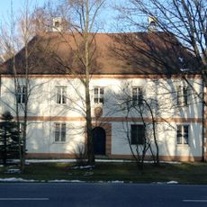
Scheurl'scher Herrensitz
725 m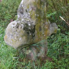
Steinkreuz in Fischbach
1.9 km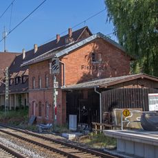
Station building Fischbach (b Nürnberg) station
836 m
Altenfurt.Oelser.Str.Kleinhaus
832 m
Anwesen Fischbacher Hauptstraße 176
2 km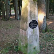
Ludwig Weber Denkmal
2 km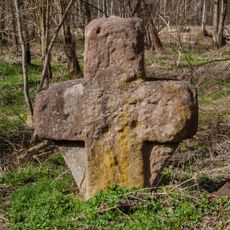
Steinkreuz in Forsthof
1.8 km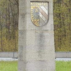
Grenzstein B4
937 m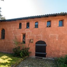
Bodendenkmal in Nürnberg, #D-5-6533-0186
2.1 km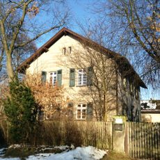
Altenfurt.Oelser.Str.Forsthaus (Nuremberg)
762 m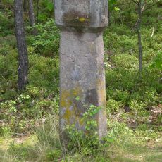
Forstreviergrenzstein Feucht, Altenfurt und Schwarzenlohe
2 km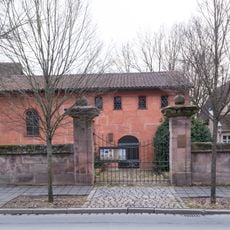
Einfriedung Evangelisch-Lutherische Pfarrkirche St. Maria
2.1 km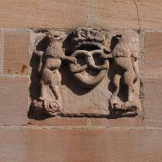
Anwesen Fischbacher Hauptstraße 187
2.1 km
Scheurl’sches Schloss Nürnberg-Fischbach
2 km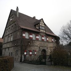
Bodendenkmal in Nürnberg, #D-5-6533-0188
2 km
Nuremberg Fischbacher Hauptstraße 121
1.7 km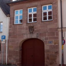
Torhaus Scheurl’sches Schloss
2 km
Anwesen Fischbacher Hauptstraße 169
2 km
Nuremberg Fischbacher Hauptstraße 186
2.1 kmVisited this place? Tap the stars to rate it and share your experience / photos with the community! Try now! You can cancel it anytime.
Discover hidden gems everywhere you go!
From secret cafés to breathtaking viewpoints, skip the crowded tourist spots and find places that match your style. Our app makes it easy with voice search, smart filtering, route optimization, and insider tips from travelers worldwide. Download now for the complete mobile experience.

A unique approach to discovering new places❞
— Le Figaro
All the places worth exploring❞
— France Info
A tailor-made excursion in just a few clicks❞
— 20 Minutes