
Altenhain, municipal district of Bad Soden am Taunus, Germany
Location: Bad Soden am Taunus
Elevation above the sea: 239 m
GPS coordinates: 50.15700,8.46920
Latest update: March 15, 2025 07:45

Villa Gans
1.6 km
Maria Geburt
29 m
Neue Martinskirche
1.6 km
Katholische Kirche Maria Geburt
31 m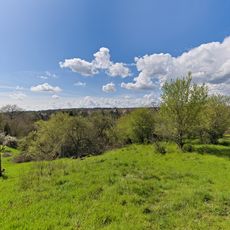
Unteres Altenhainer Tal bei Bad Soden
1.2 km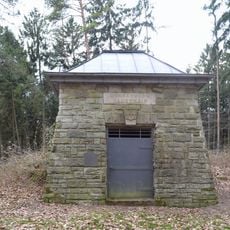
Alter Wasserspeicher
1 km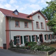
Gagernhaus
1.6 km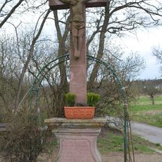
Wegkreuz
838 m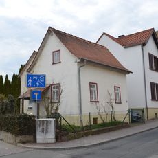
Hauptstraße 55
1.7 km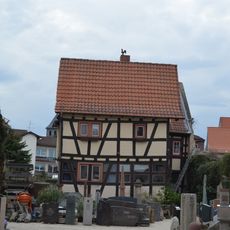
Hauptstraße 21
1.6 km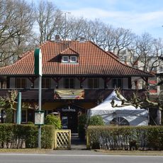
Waldgasthof Hubertus
1.3 km
Liederbachbrücke
1.6 km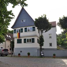
Hornauer Straße 145
1.6 km
Gesamtanlage Hornau
1.6 km
Langstraße 11
172 m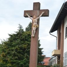
Sandsteinkreuz
1.7 km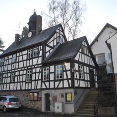
Altes Rathaus
126 m
Katholische Pfarrkirche Maria Hilf
1.4 km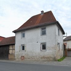
Schulstraße 5
1.6 km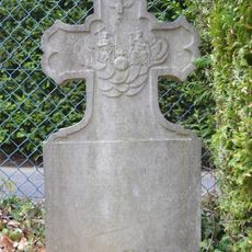
Grabstein an der katholischen Kirche
1.4 km
Hornauer Straße 134
1.6 km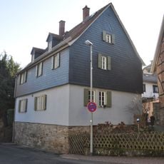
Langstraße 39
163 m
Alte Martinskirche
1.6 km
Langstraße 37
143 m
Hauptstraße 31
1.7 km
Langstraße 13
156 m
Ehem. Nassauer Hof
1.7 km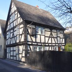
Langstraße 10
156 mVisited this place? Tap the stars to rate it and share your experience / photos with the community! Try now! You can cancel it anytime.
Discover hidden gems everywhere you go!
From secret cafés to breathtaking viewpoints, skip the crowded tourist spots and find places that match your style. Our app makes it easy with voice search, smart filtering, route optimization, and insider tips from travelers worldwide. Download now for the complete mobile experience.

A unique approach to discovering new places❞
— Le Figaro
All the places worth exploring❞
— France Info
A tailor-made excursion in just a few clicks❞
— 20 Minutes