
Altenstadt, market municipality in the district of Neu-Ulm, Bavaria, Germany
Location: Neu-Ulm
Elevation above the sea: 528 m
Part of: Verwaltungsgemeinschaft Altenstadt
Shares border with: Illertissen, Unterroth, Oberroth, Kellmünz an der Iller, Osterberg
Website: http://altenstadt-vg.de/index.php?id=0,174
GPS coordinates: 48.16667,10.11667
Latest update: March 4, 2025 16:28
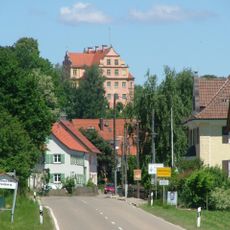
Schloss Osterberg
4.4 km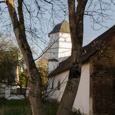
Schloss Illereichen
508 m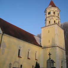
Mariä Geburt
601 m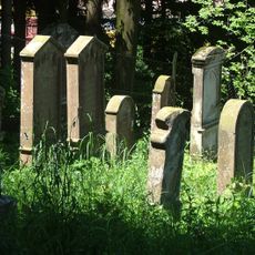
Jewish cemetery, Osterberg
4.5 km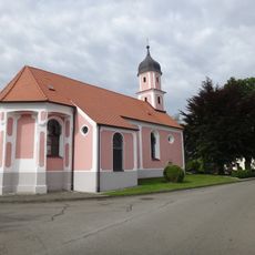
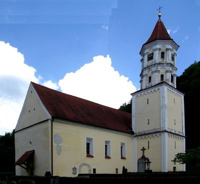
Pfarrkirche St. Michael
2.7 km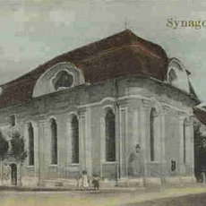
Synagoge Altenstadt
560 m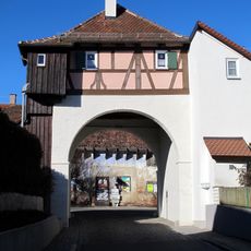
Großtor
596 m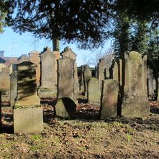
Jüdischer Friedhof Altenstadt
635 m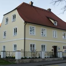
Altes Rathaus
460 m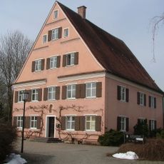
Rectory
421 m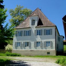
Pfarrhaus
4.4 km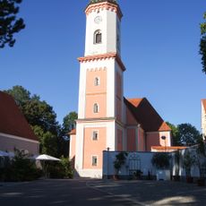
Mariä Himmelfahrt
443 m
Pfarrkirche St. Gordian und Epimachus
5.1 km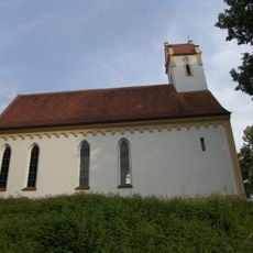
Katholische Filialkirche St. Maria Magdalena
2.3 km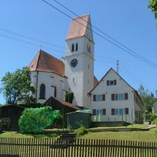
St. Peter und Paul
4.4 km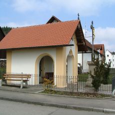
Wegkapelle Hauptstraße
4.7 km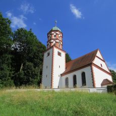
St. Peter und Paul
949 m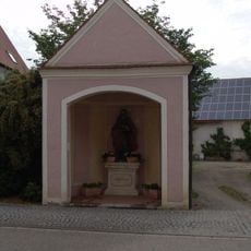
St.-Johannes-Evangelist-Kapelle
455 m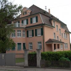
Villa
388 m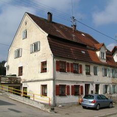
Ehemaliges Ghettohaus
4.5 km
Memminger Straße 18
414 m
Rechbergstraße 2
429 m
Marktstraße 30, Illereichen
552 m
Ehemaliges Jägerhaus
489 m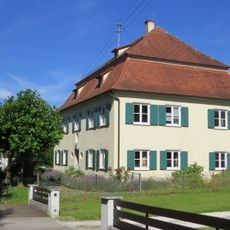
Ehemaliges Pfarrhaus, jetzt Kindergarten
2.3 km
Wohnhaus
528 m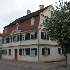
Memminger Straße 29
385 m
Memminger Straße 16
390 mVisited this place? Tap the stars to rate it and share your experience / photos with the community! Try now! You can cancel it anytime.
Discover hidden gems everywhere you go!
From secret cafés to breathtaking viewpoints, skip the crowded tourist spots and find places that match your style. Our app makes it easy with voice search, smart filtering, route optimization, and insider tips from travelers worldwide. Download now for the complete mobile experience.

A unique approach to discovering new places❞
— Le Figaro
All the places worth exploring❞
— France Info
A tailor-made excursion in just a few clicks❞
— 20 Minutes