
Althegnenberg, municipality of Germany
Location: Fürstenfeldbruck
Elevation above the sea: 536 m
Part of: Verwaltungsgemeinschaft Mammendorf
Shares border with: Mammendorf, Adelshofen
Website: http://althegnenberg.de
GPS coordinates: 48.23333,11.06667
Latest update: March 4, 2025 22:05
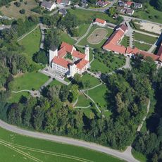
Schloss Hofhegnenberg
3.8 km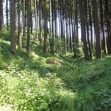
Vorderer Schlossberg
4.3 km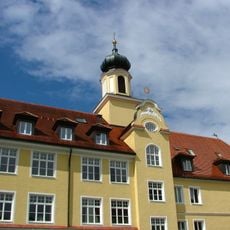
Schloss Grunertshofen
5.4 km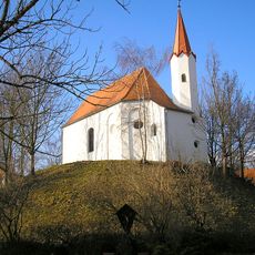
Burgstall Althegnenberg
127 m
St. Margareth (Günzlhofen)
5.9 km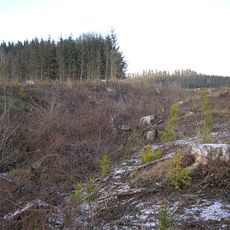
Ringwall Mittelstetten
3.6 km
Kanzel
3.8 km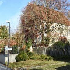
Hauptstraße 18
3.3 km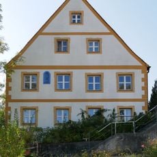
Von-Pfetten-Füll-Straße 4
5.5 km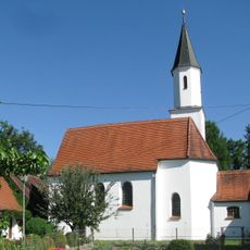
St. Johannes der Täufer (Vogach)
5.4 km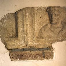
Römischer Grabstein
1.5 km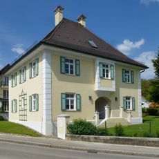
Pfarrhaus (Hattenhofen Obb.)
4.2 km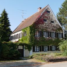
Steinbach 37
5.3 km
Haspelmoor
2.6 km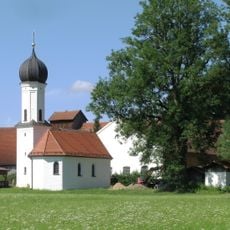
Katholische Filialkirche St. Sebastian
2.2 km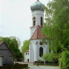
St. Martin (Nassenhausen)
5.1 km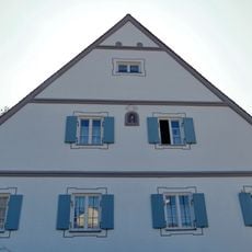
Steinbach 29
5.3 km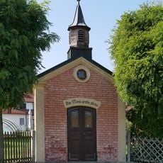
Marienkapelle
5.3 km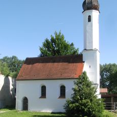
St. Katharina
5.4 km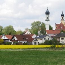
St. Lorenz
5.5 km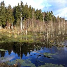
Naturschutzgebiet 'Haspelmoor'
2.7 km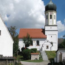
St. Stephan und Magdalena (Tegernbach)
4.1 km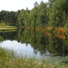
Haspelmoor
2.3 km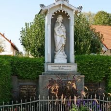
Marienmonument
5.4 km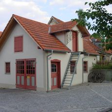
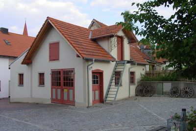
Ehemalige Schmiede
182 m
St. Bartholomäus
5.1 km
St. Sylvester (Mittelstetten)
3.2 km
Mietshaus
2.6 kmReviews
Visited this place? Tap the stars to rate it and share your experience / photos with the community! Try now! You can cancel it anytime.
Discover hidden gems everywhere you go!
From secret cafés to breathtaking viewpoints, skip the crowded tourist spots and find places that match your style. Our app makes it easy with voice search, smart filtering, route optimization, and insider tips from travelers worldwide. Download now for the complete mobile experience.

A unique approach to discovering new places❞
— Le Figaro
All the places worth exploring❞
— France Info
A tailor-made excursion in just a few clicks❞
— 20 Minutes