
Lappersdorf, market municipality of Germany
Location: Regensburg
Elevation above the sea: 341 m
Website: http://lappersdorf.de
GPS coordinates: 49.05250,12.09028
Latest update: March 3, 2025 13:03
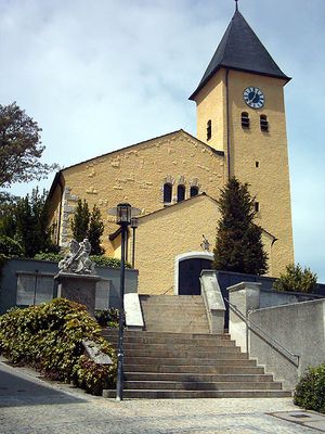
St. Elisabeth (Kareth)
1.5 km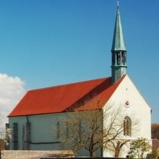
Kirche unserer Lieben Frau
5.5 km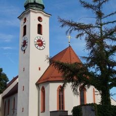
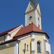
Mariä Himmelfahrt
1.4 km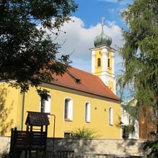
St. Nikolaus (Reinhausen)
2.3 km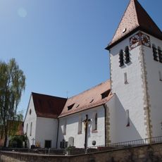
St. Nikolaus
3 km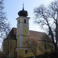
St. Bartholomäus
1.9 km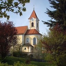
St. Ägidius
3.6 km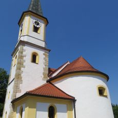
St. Laurentius
1.8 km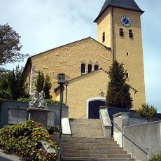
Katholische Pfarrkirche Mariä Himmelfahrt
299 m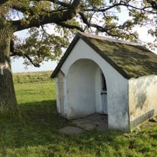
Watzlik-Kapelle
3.7 km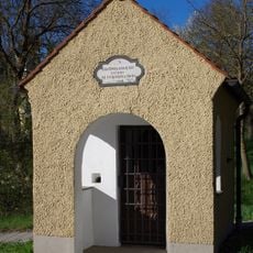
Wegkapelle St. Bartholomäus
1.9 km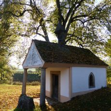
Wegkapelle St. Maria
4.9 km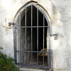
Quellhaus
3 km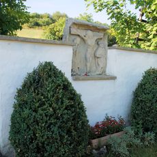
Wegkreuz und Bildstockfragment
4 km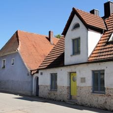
Wohnhaus
2.9 km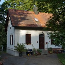
Hochbehälter der städtischen Wasserversorgung
2.2 km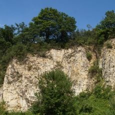
Ehemaliger Steinbruch SW von Kager
4.8 km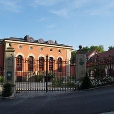
Gaststätte , ehemaliges Fabrikationsgebäude einer Seidenspinnerei mit Maulbeerbaumplantage
2.2 km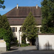
Katholischer Pfarrhof
1.5 km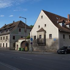
Ehemaliges Gasthaus
1.5 km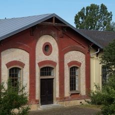
Pumpwerk der städtischen Wasserversorgung
561 m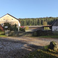
Gutshaus
4.8 km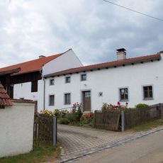
Bauernhaus
4.4 km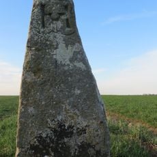
Grenzstein Nr. 5
1.7 km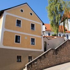
Mühle
3 km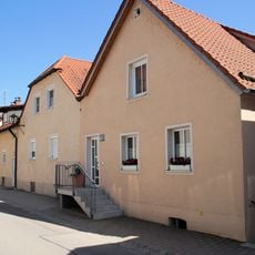
Wohnhaus
3 km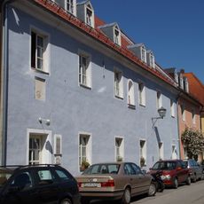
Ehemalige Tafernwirtschaft, später Schulhaus von Niederwinzer
2.9 km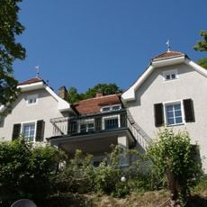
Wohnhaus in Hanglage
2.7 kmVisited this place? Tap the stars to rate it and share your experience / photos with the community! Try now! You can cancel it anytime.
Discover hidden gems everywhere you go!
From secret cafés to breathtaking viewpoints, skip the crowded tourist spots and find places that match your style. Our app makes it easy with voice search, smart filtering, route optimization, and insider tips from travelers worldwide. Download now for the complete mobile experience.

A unique approach to discovering new places❞
— Le Figaro
All the places worth exploring❞
— France Info
A tailor-made excursion in just a few clicks❞
— 20 Minutes