
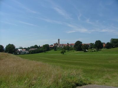
Kellmünz an der Iller, market municipality in the district of Neu-Ulm, Bavaria, Germany
Location: Neu-Ulm
Elevation above the sea: 541 m
Part of: Verwaltungsgemeinschaft Altenstadt
Shares border with: Altenstadt, Osterberg, Pleß, Dettingen an der Iller
Website: http://kellmuenz.de
GPS coordinates: 48.11667,10.13306
Latest update: March 3, 2025 09:53
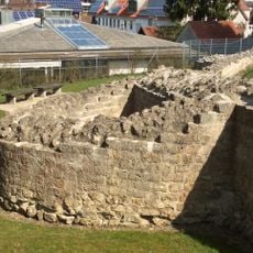
Römerkastell Caelius Mons
560 m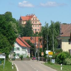
Schloss Osterberg
4.6 km
St. Martin (Kellmünz)
544 m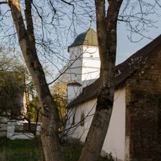
Schloss Illereichen
5.2 km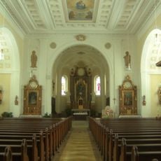
Mariä Himmelfahrt
1.9 km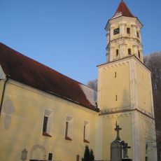
Mariä Geburt
5.1 km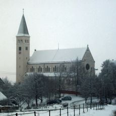
Adelssitz Kirchberg
4.3 km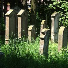
Jewish cemetery, Osterberg
4.1 km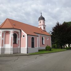
Pfarrkirche St. Michael
4.3 km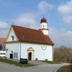
St. Johannes Baptista
1.6 km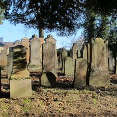
Jüdischer Friedhof Altenstadt
5.2 km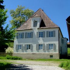
Pfarrhaus
4.4 km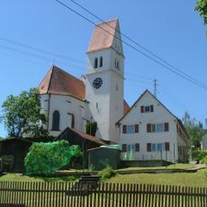
St. Peter und Paul
4.4 km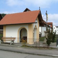
Wegkapelle Hauptstraße
3.9 km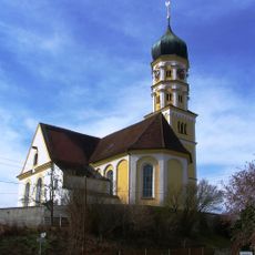
Katholische Pfarrkirche St. Martin
554 m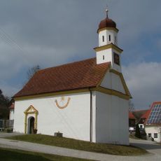
Katholische Kapelle St. Johannes Baptista
1.6 km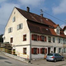
Ehemaliges Ghettohaus
4.2 km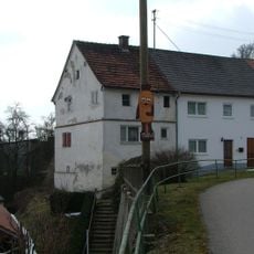
Ehemaliges Gefängnis
4.5 km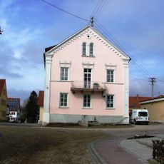
Ehem. Hotel Krone
669 m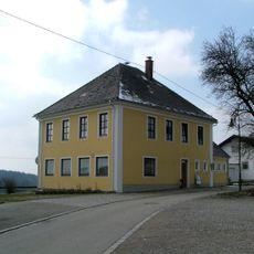
Schulgebäude
1.6 km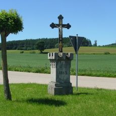
Kruzifix auf turmartigem Sockel
2.5 km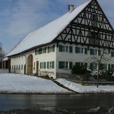
Ulmer Straße 29, Pleß
2.7 km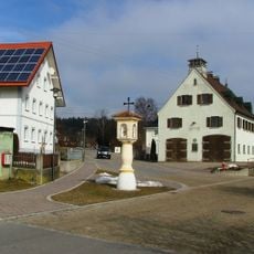
Pestsäule
656 m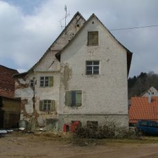
Ehemaliger Gasthof Engel
4.5 km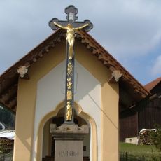
Wegkreuz Hauptstraße
3.9 km
Kath. Pfarrhaus
510 m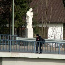
Hl. Johann Nepomuk
940 m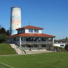
Wasserturm Dettingen
2.3 kmVisited this place? Tap the stars to rate it and share your experience / photos with the community! Try now! You can cancel it anytime.
Discover hidden gems everywhere you go!
From secret cafés to breathtaking viewpoints, skip the crowded tourist spots and find places that match your style. Our app makes it easy with voice search, smart filtering, route optimization, and insider tips from travelers worldwide. Download now for the complete mobile experience.

A unique approach to discovering new places❞
— Le Figaro
All the places worth exploring❞
— France Info
A tailor-made excursion in just a few clicks❞
— 20 Minutes