
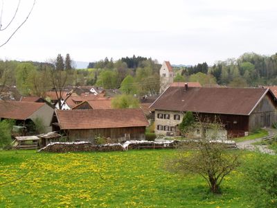
Huglfing, municipality of Germany
Location: Weilheim-Schongau
Elevation above the sea: 606 m
Part of: Huglfing
Shares border with: Polling, Oberhausen
Website: http://huglfing.de
GPS coordinates: 47.76667,11.16667
Latest update: March 30, 2025 20:23
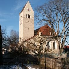
St. Magnus (Huglfing)
570 m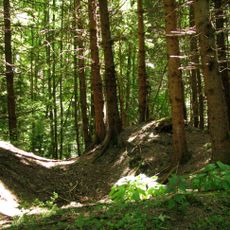
Burgstall Willenberg
4.5 km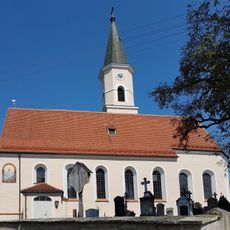
St. Martin (Obereglfing)
3.6 km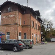
Bahnhof Huglfing
2.3 km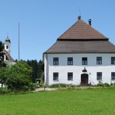
Gut Grasleiten
5.4 km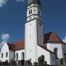
St. Mauritius
2.9 km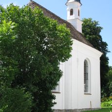
Kapelle Heilig Kreuz
5.4 km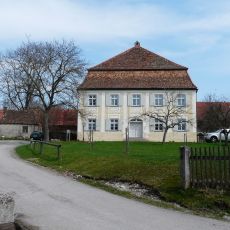
Pfarrhaus Obereglfing
3.6 km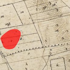
Cultural heritage D-1-8232-0031 in Eglfing
4.2 km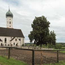
Kirche St. Benedikt
2.7 km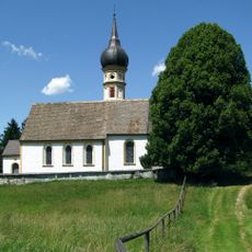
Kirche St. Nikolaus
5.8 km
Bildstock
1.8 km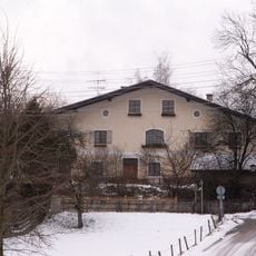
Alter Wirt
4.1 km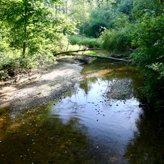
Bachlauf der Eyach im Mündungsbereich
5.1 km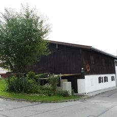
Riebl
511 m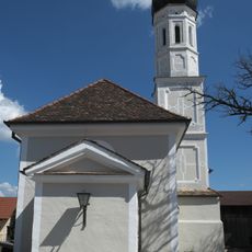
St. Maria im Tal
4.1 km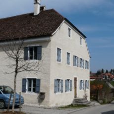
Bucklheiß
4.3 km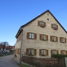
Deinler
600 m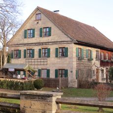
Weber
553 m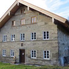
Kristl
741 m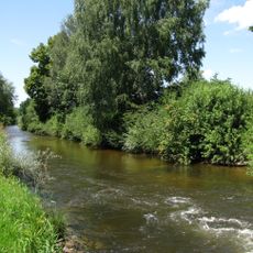
Grasleitner Moorlandschaft
7.2 km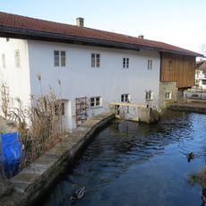
Geißler Bader
608 m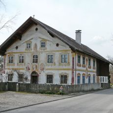
Wohnhaus
3.5 km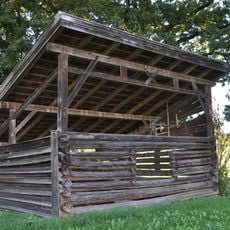
Feldstadel
3 km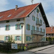
Schwab
4.2 km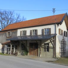
Pfandzelter
578 m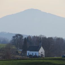
St. Johannes d. T.
481 m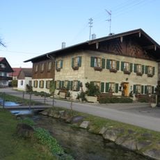
Kaufhauser
619 mVisited this place? Tap the stars to rate it and share your experience / photos with the community! Try now! You can cancel it anytime.
Discover hidden gems everywhere you go!
From secret cafés to breathtaking viewpoints, skip the crowded tourist spots and find places that match your style. Our app makes it easy with voice search, smart filtering, route optimization, and insider tips from travelers worldwide. Download now for the complete mobile experience.

A unique approach to discovering new places❞
— Le Figaro
All the places worth exploring❞
— France Info
A tailor-made excursion in just a few clicks❞
— 20 Minutes