
Eggenthal, municipality of Germany
Location: Ostallgäu
Elevation above the sea: 713 m
Part of: Verwaltungsgemeinschaft Eggenthal
Website: http://eggenthal.de
GPS coordinates: 47.91667,10.51667
Latest update: March 3, 2025 02:02

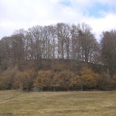
Burgstall Romatsried
2.7 km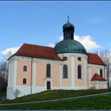
Maria Seelenberg (Eggenthal)
633 m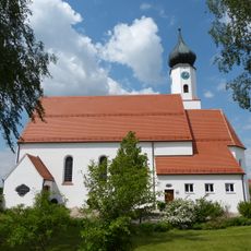
Patrona Bavariae (Oberegg)
5.3 km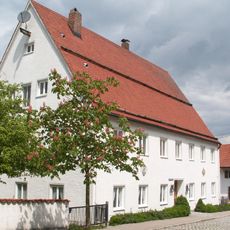
Rectory (Eggenthal)
482 m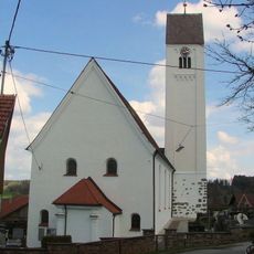
Sankt Afra
438 m
St. Nikolaus
3.5 km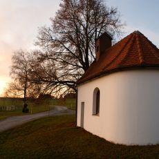
Katholische Kapelle
4.3 km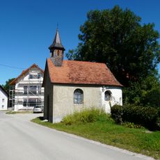
Kapelle St. Sebastian
4.4 km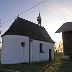
Marienkapelle
3.8 km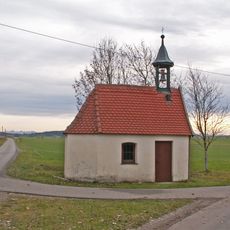
Katholische Kapelle Vierzehn Nothelfer
6 km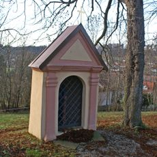
Kapelle
585 m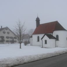
Weilerkapelle
4.5 km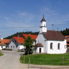
Katholische Kapelle St. Antonius von Padua
2.5 km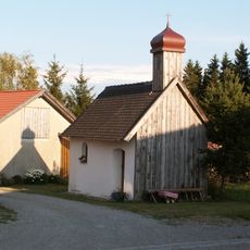
Katholische Kapelle Hl. Dreifaltigkeit
6 km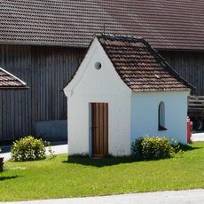
Weilerkapelle
1.2 km
Kapelle St. Walburga
1.5 km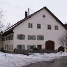
Bauernhaus
3.5 km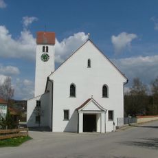
St. Wolfgang
3.3 km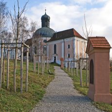
Drei Kreuzwegstationen
620 m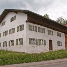
Bauernhaus
698 m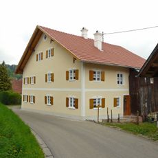
Bauernhaus
429 m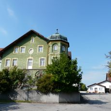
Gasthaus
3.6 km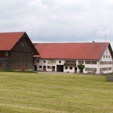
Hausfigur
1.4 km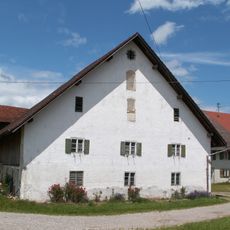
Zwei Hausfiguren
1.9 km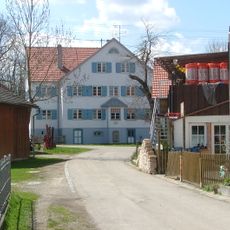
Mühle
3.3 km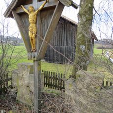
Steinkreuze
413 m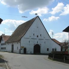
Zehentstadel
432 m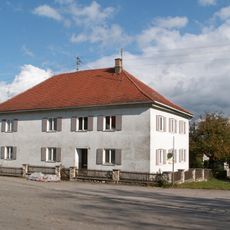
Pfarrhaus
3.6 kmReviews
Visited this place? Tap the stars to rate it and share your experience / photos with the community! Try now! You can cancel it anytime.
Discover hidden gems everywhere you go!
From secret cafés to breathtaking viewpoints, skip the crowded tourist spots and find places that match your style. Our app makes it easy with voice search, smart filtering, route optimization, and insider tips from travelers worldwide. Download now for the complete mobile experience.

A unique approach to discovering new places❞
— Le Figaro
All the places worth exploring❞
— France Info
A tailor-made excursion in just a few clicks❞
— 20 Minutes