
Gutenstetten, municipality of Germany
Location: Neustadt (Aisch)-Bad Windsheim
Elevation above the sea: 287 m
Part of: Verwaltungsgemeinschaft Diespeck
Website: http://gutenstetten.de
GPS coordinates: 49.61667,10.61667
Latest update: March 7, 2025 10:41
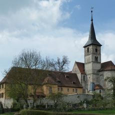
Münchsteinacher Klosterbezirk
2.7 km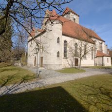
St. Johannes Baptist und Laurentius
995 m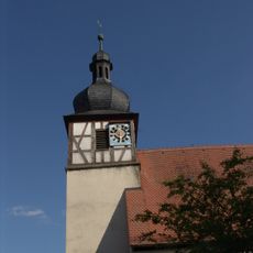
St. Kilian
2.8 km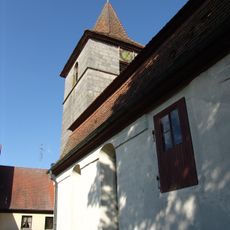
St. Katharina
5.1 km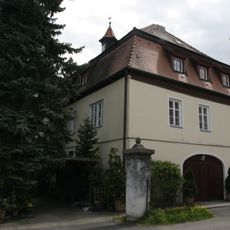
D-5-75-117-17
5.5 km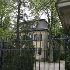
D-5-75-117-16
5.5 km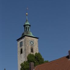
St. Johannes
2.2 km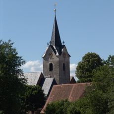
St. Bartholomäus
2.4 km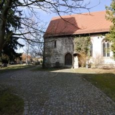
Ehemalige Kapelle St. Martin
1 km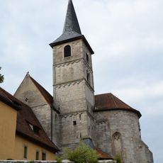
St. Nikolaus
2.7 km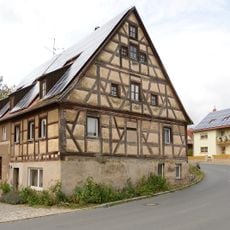
Ehemalige Mühle
920 m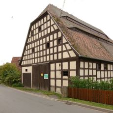
Fachwerkscheune
1 km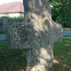
Steinkreuz bei Stübach (5)
2.5 km
Fachwerkscheune
997 m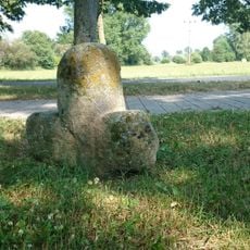
Steinkreuz bei Hanbach
2.3 km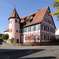
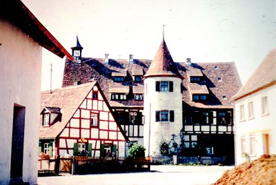
Schloss Rockenbach
3.4 km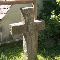
Steinkreuz in Stübach
2.4 km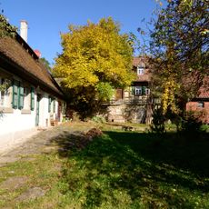
Buildings in Kleinsteinach
1.5 km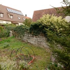
Zugehörige ehemalige Kirchhofmauer
1.1 km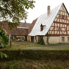
Bauernhaus
1 km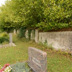
St. Johannes Baptist und Laurentius (Gutenstetten)
1 km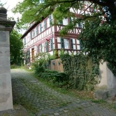
Pfarrhaus
1.1 km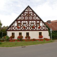
Wohnstallhaus
1 km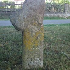
Steinkreuz bei Stübach (4)
2.5 km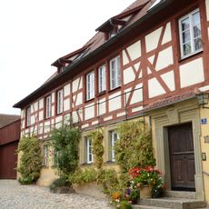
Lehrerwohnhaus Kirchenweg 3 in Münchsteinach
2.8 km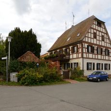
Halbwalmdachhaus
883 m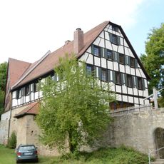
Fachwerkscheune
2.7 km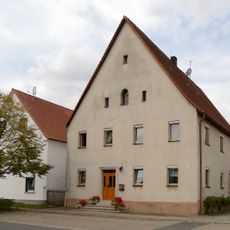
Buildings in Gutenstetten
951 mReviews
Visited this place? Tap the stars to rate it and share your experience / photos with the community! Try now! You can cancel it anytime.
Discover hidden gems everywhere you go!
From secret cafés to breathtaking viewpoints, skip the crowded tourist spots and find places that match your style. Our app makes it easy with voice search, smart filtering, route optimization, and insider tips from travelers worldwide. Download now for the complete mobile experience.

A unique approach to discovering new places❞
— Le Figaro
All the places worth exploring❞
— France Info
A tailor-made excursion in just a few clicks❞
— 20 Minutes