
Dietersheim, municipality of Germany
Location: Neustadt (Aisch)-Bad Windsheim
Elevation above the sea: 301 m
Website: http://dietersheim.de
GPS coordinates: 49.56667,10.51667
Latest update: March 6, 2025 20:52
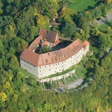
Hoheneck Castle
5.1 km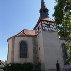
St. Johannes der Täufer
5.2 km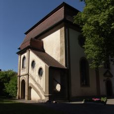
St. Katharina
3.4 km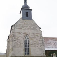
St. Maria (Birkenfeld)
4 km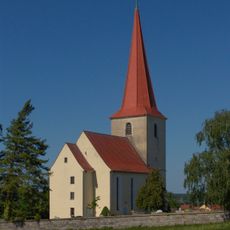
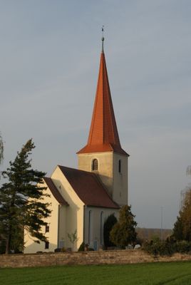
St. Markus
2.2 km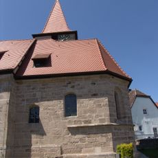
St. Jobst
7.8 km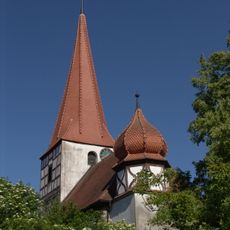
St. Maria, Simon und Judas
1.4 km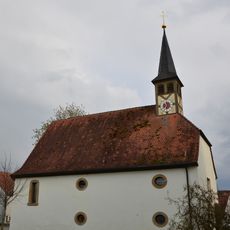
St. Laurentius
4.4 km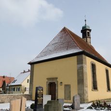
Zum Heiligen Kreuz
5.2 km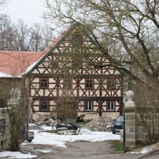
Ehemalige Klostermühle, Wohnhaus
3.9 km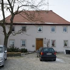
Bauernhof
5.2 km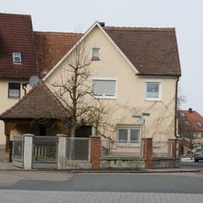
Beschlagplatz der ehemaligen Schmiede
5.1 km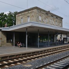
Bahnhof, Empfangsgebäude
5.3 km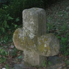
Steinkreuz am Waldfriedhof
6.7 km
Walmdachhaus
5.3 km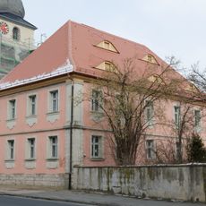
Pfarrhaus
5.2 km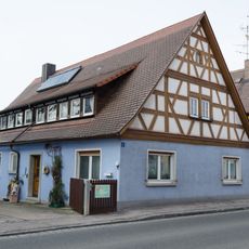
Satteldachhaus
5.2 km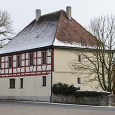
Walmdachhaus
5.2 km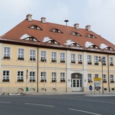
Ehemaliges Forstamt
5.1 km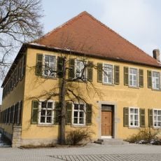
Ehemaliger Freihof, später Gasthaus
4.9 km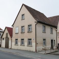
Türsturz
3.9 km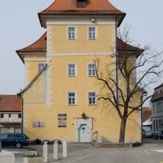
Ehemaliges Zehnthaus
5.1 km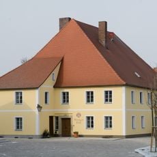
Ehemalige Mühle
4.9 km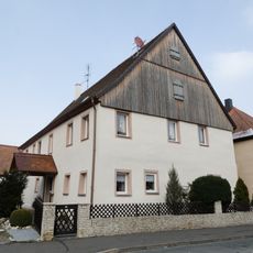
Satteldachhaus
5.1 km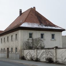
Wohnhaus
3.8 km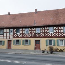
Ehemaliges Wohnstallhaus
3.9 km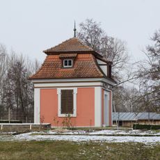
Weiherhäuschen
5.2 km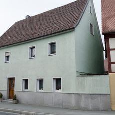
Türsturz
3.9 kmVisited this place? Tap the stars to rate it and share your experience / photos with the community! Try now! You can cancel it anytime.
Discover hidden gems everywhere you go!
From secret cafés to breathtaking viewpoints, skip the crowded tourist spots and find places that match your style. Our app makes it easy with voice search, smart filtering, route optimization, and insider tips from travelers worldwide. Download now for the complete mobile experience.

A unique approach to discovering new places❞
— Le Figaro
All the places worth exploring❞
— France Info
A tailor-made excursion in just a few clicks❞
— 20 Minutes