
Untrasried, municipality in Bavaria, Germany
Location: Ostallgäu
Elevation above the sea: 819 m
Part of: Verwaltungsgemeinschaft Obergünzburg
Website: https://untrasried.de
GPS coordinates: 47.83333,10.38333
Latest update: March 7, 2025 10:44
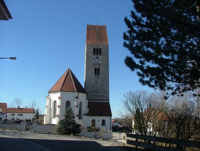
St. Wendelin
6.8 km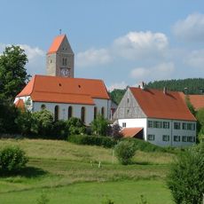
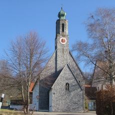
St. Cornelius und Cyprian
4.4 km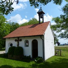
St. Joseph
5.5 km
Pfarrhaus (Probstried)
4.4 km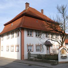
Pfarrhaus Hopferbach
3.2 km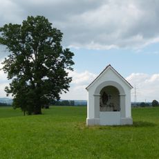
St. Joseph (Probstried)
4.7 km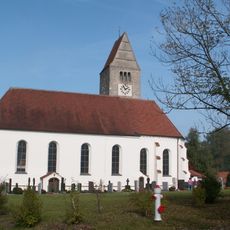
St. Fabian und Sebastian church
710 m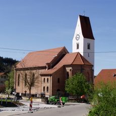
St. Bartholomew
3.2 km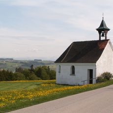
Katholische Marienkapelle
3.6 km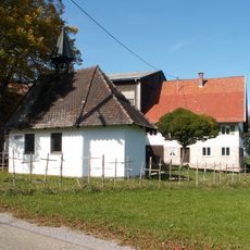
Marienkapelle
2 km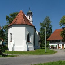
Filialkirche St. Wolfgang
1.7 km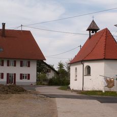
Weilerkapelle
1.3 km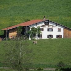
Ehemaliges Bauernhaus
3.2 km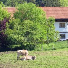
Ehemaliges Bauernhaus
3.1 km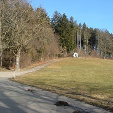
Gedenkstein
3.5 km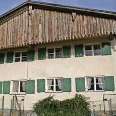
Bauernhaus
3.1 km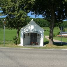
Schächerkapelle
1.9 km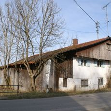
Ehemaliges Bauernhaus
3.3 km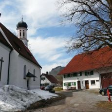
Kleinhaus
1.6 km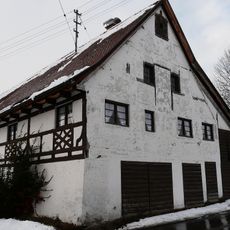
Stadel
4.4 km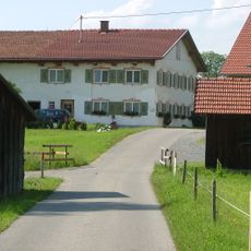
Bauernhaus
4.6 km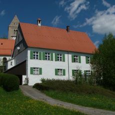
Pfarrhaus
4.4 km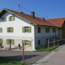
Bauernhaus
3.6 km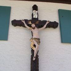
Hausfigur
4.4 km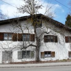
Bauernhaus
1.7 km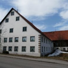
Bauernhaus
1.7 km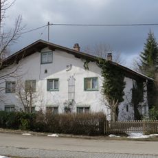
Ehemaliges Bauernhaus
638 m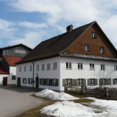
Gasthaus
1.8 kmReviews
Visited this place? Tap the stars to rate it and share your experience / photos with the community! Try now! You can cancel it anytime.
Discover hidden gems everywhere you go!
From secret cafés to breathtaking viewpoints, skip the crowded tourist spots and find places that match your style. Our app makes it easy with voice search, smart filtering, route optimization, and insider tips from travelers worldwide. Download now for the complete mobile experience.

A unique approach to discovering new places❞
— Le Figaro
All the places worth exploring❞
— France Info
A tailor-made excursion in just a few clicks❞
— 20 Minutes