
Aßling, municipality in Bavaria, Germany
Location: Ebersberg
Elevation above the sea: 489 m
Part of:
Shares border with: Baiern, Bruck, Grafing, Frauenneuharting, Emmering, Tuntenhausen
Website: http://assling.de
GPS coordinates: 47.99297,12.00643
Latest update: March 4, 2025 21:52
Martermühle
764 m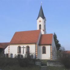
St. Laurentius
2.6 km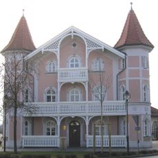
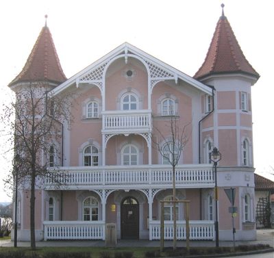
Rathaus Aßling
152 m
Sankt Ulrich und Leonhard
5.3 km
St. Laurentius
2.3 km
Sankt Georg
14 m
St. Ägidius
2.5 km
St. Georg (Thal, Tuntenhausen)
3.4 km
Sankt Johannes Ev.
4 km
Sankt Martin
1.9 km
Brunnenkapelle
3.5 km
LSG Dobelgebiet und Atteltal im Gebiet der Stadt Grafing bei München und der Gemeinde Aßling
2.4 km
Klausenkapelle
4.6 km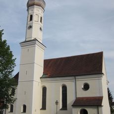
St. Johann Baptist
3.5 km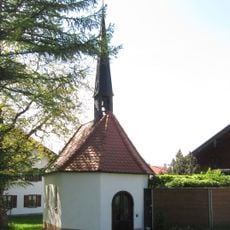
Kapelle
3.6 km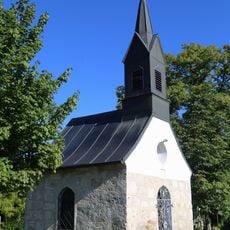
Kapelle
4 km
Katholische Filialkirche St. Laurentius
2.6 km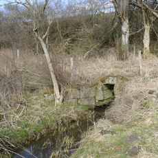
Entwässerungsstollen N von Eisendorf
4.1 km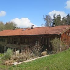
Weiher 2
7.1 km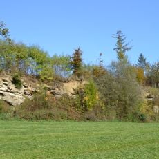
Nagelfluhwand bei Weng
5.4 km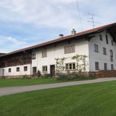
Ehemaliger Bauernhof
3.6 km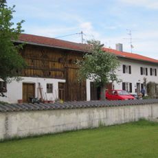
Ehemaliger Pfarrhof
3.5 km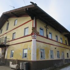
Osterwalder Weg 6
2 km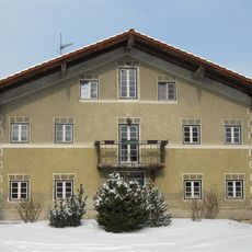
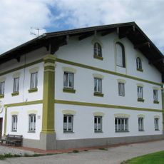
Ehemaliger Einfirsthof, jetzt zweigeschossiger Hakenhof
101 m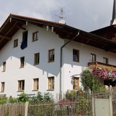
Schloßstraße 4
4 km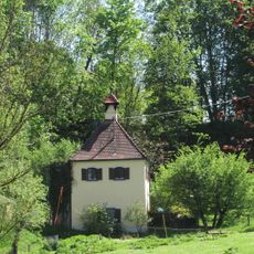
Wohnhaus
4.7 km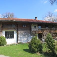
Weiher 3
7.1 km
Schloßstraße 7 (Hohenthann, Tuntenhausen)
4.1 kmReviews
Visited this place? Tap the stars to rate it and share your experience / photos with the community! Try now! You can cancel it anytime.
Discover hidden gems everywhere you go!
From secret cafés to breathtaking viewpoints, skip the crowded tourist spots and find places that match your style. Our app makes it easy with voice search, smart filtering, route optimization, and insider tips from travelers worldwide. Download now for the complete mobile experience.

A unique approach to discovering new places❞
— Le Figaro
All the places worth exploring❞
— France Info
A tailor-made excursion in just a few clicks❞
— 20 Minutes