
Biebelried, municipality of Germany
Location: Kitzingen
Elevation above the sea: 277 m
Part of: Verwaltungsgemeinschaft Kitzingen
Website: https://biebelried.de
GPS coordinates: 49.76667,10.08333
Latest update: April 1, 2025 08:36
Johanniterkastell
2.8 km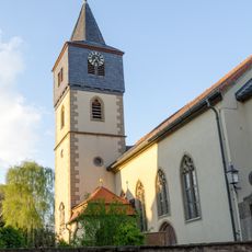
Pfarrkirche
231 m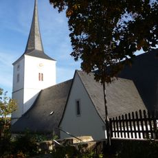
Kirche
4 km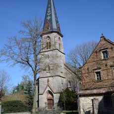
Pfarrkirche
2.8 km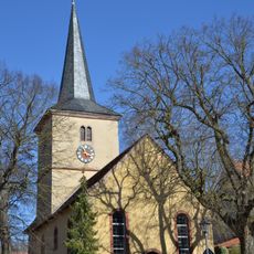
Pfarrkirche
5.1 km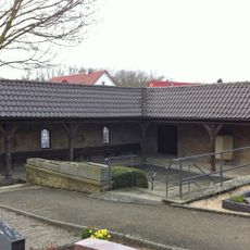
Friedhof
3.3 km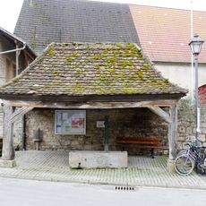
Dorfbrunnen
5.1 km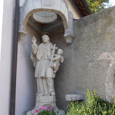
St. Nepomuk-Statue
4 km
Wohnhaus
309 m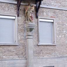
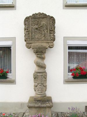
Heiligenfigur
365 m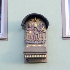
Heiligenfigur
397 m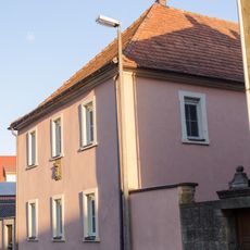
Wohnhaus
305 m
Hoftor
449 m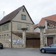
Wohngebäude
5.1 km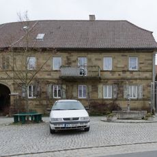
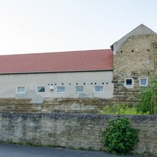
Bauernhaus
4.2 km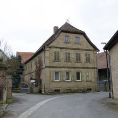
Bauernhaus
4.2 km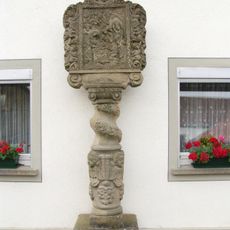
Bildstock
4.3 km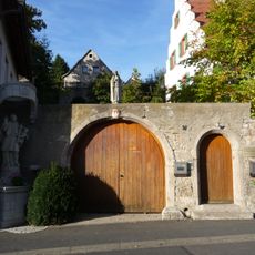
Pfarrhaus
4 km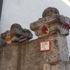
Hoftor
4.1 km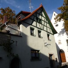
Wohnhaus
4.1 km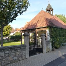
Grabmal
3.8 km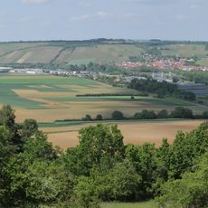
Trockentalhänge im südlichen Maindreieck
5.9 km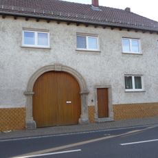
Tordurchfahrt
4.2 km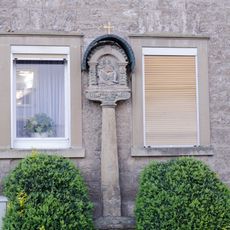
Bildstock
429 m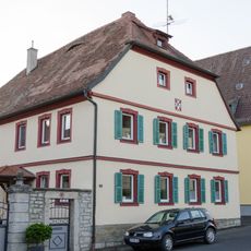
Bauernhaus
415 m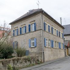
Wohngebäude
5 km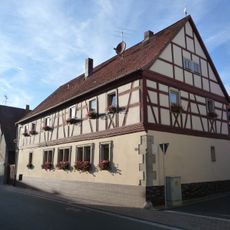
Wohnhaus
4.1 km
Heiligenfigur
3.8 kmVisited this place? Tap the stars to rate it and share your experience / photos with the community! Try now! You can cancel it anytime.
Discover hidden gems everywhere you go!
From secret cafés to breathtaking viewpoints, skip the crowded tourist spots and find places that match your style. Our app makes it easy with voice search, smart filtering, route optimization, and insider tips from travelers worldwide. Download now for the complete mobile experience.

A unique approach to discovering new places❞
— Le Figaro
All the places worth exploring❞
— France Info
A tailor-made excursion in just a few clicks❞
— 20 Minutes