
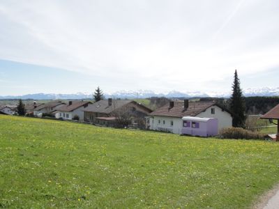
Kraftisried, municipality of Germany
Location: Ostallgäu
Elevation above the sea: 822 m
Part of: Verwaltungsgemeinschaft Unterthingau
Website: http://kraftisried.com
GPS coordinates: 47.78333,10.46667
Latest update: March 3, 2025 04:51
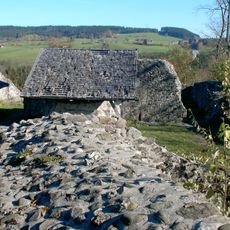
Burg Wolkenberg
4.9 km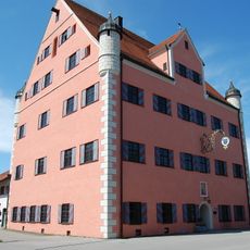
Schloss Unterthingau
3.3 km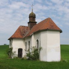
Kapelle Maria Trost
1.6 km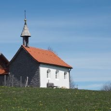
Maria Hilf Kapelle
2.9 km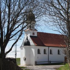
Kapelle St. Joseph
1.8 km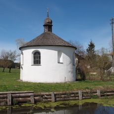
Antoniuskapelle
614 m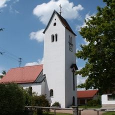
Katholische Filialkirche St. Anna
1.3 km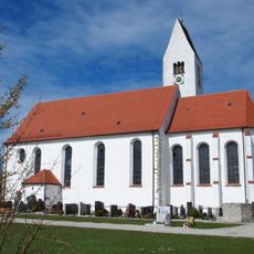
St. Nikolaus
3.3 km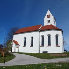
St. Martin, Maria Magdalena und Georg
592 m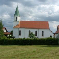
Filialkirche Mariä Heimsuchung
4.3 km
Schwedenkapelle
5.3 km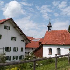
Kapelle St. Magnus und St. Sebastian
5.2 km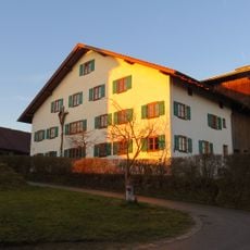
Hausfigur
1.7 km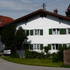
Wohnhaus
3.1 km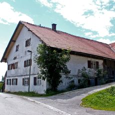
Bauernhaus
1.7 km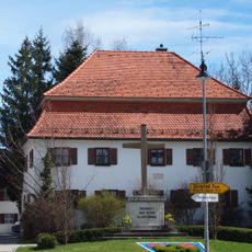
Ehemaliges Pfründehaus
3.2 km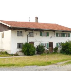
Ehemaliges Bauernhaus
5 km
Bauernhaus
1.2 km
Ehemalige Wolkenberger Mühle
4.4 km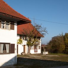
Bauernhaus
2.8 km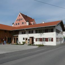
Ehemaliges Bauernhaus
3.3 km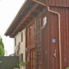
Wohnhaus
3 km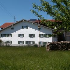
Bauernhaus
2.9 km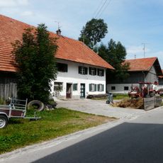
Bauernhaus
1.3 km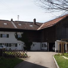
Bauernhaus
715 m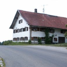
Hausfigur
4.1 km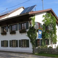
Bauernhaus
4.9 km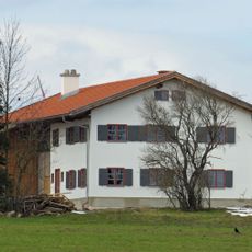
Zweigeschossiger Satteldachbau
1.9 kmReviews
Visited this place? Tap the stars to rate it and share your experience / photos with the community! Try now! You can cancel it anytime.
Discover hidden gems everywhere you go!
From secret cafés to breathtaking viewpoints, skip the crowded tourist spots and find places that match your style. Our app makes it easy with voice search, smart filtering, route optimization, and insider tips from travelers worldwide. Download now for the complete mobile experience.

A unique approach to discovering new places❞
— Le Figaro
All the places worth exploring❞
— France Info
A tailor-made excursion in just a few clicks❞
— 20 Minutes