
Voltlage, municipality of Germany
Location: Osnabrück
Location: Neuenkirchen
Elevation above the sea: 48 m
Shares border with: Fürstenau, Merzen
Website: https://voltlage.de
GPS coordinates: 52.43333,7.75000
Latest update: March 7, 2025 19:15
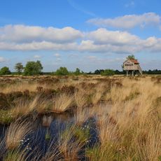
Recker Moor
6.4 km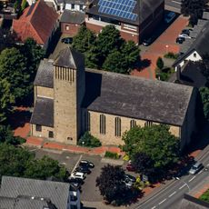
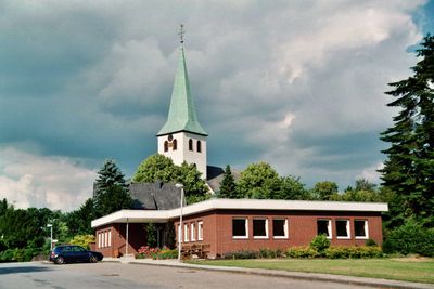
St. Dionysius
7.4 km
Gräberfeld Plaggenschale
8.5 km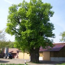
Dicke Eiche
9.4 km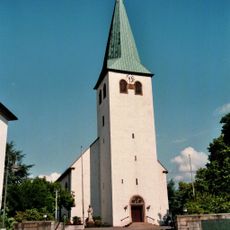
St. Katharina
452 m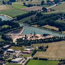
Hafen Recke
8.8 km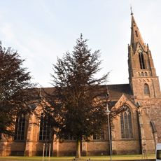
St. Lambertus
7.3 km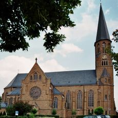
St. Laurentius
6.2 km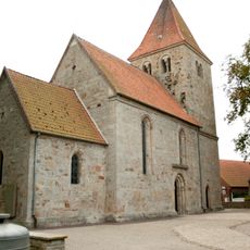
Zisterzienserinnenkloster Schale
8.6 km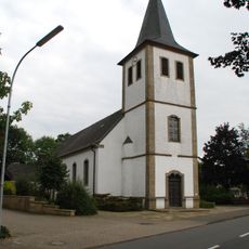
St. Peter und Paul
5.8 km
Koffituten
5.6 km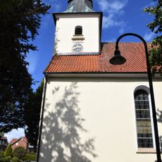
St. Bartholomäus
9.5 km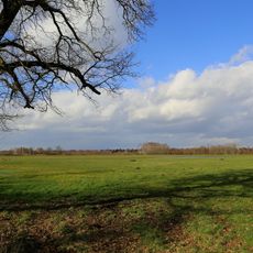
Mettinger Moor
7.3 km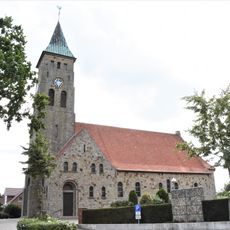
St. Maria Rosenkranz
8.1 km
Großsteingrab Wiemelsberger Steine
7.8 km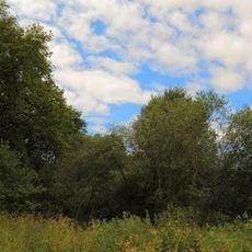
Neuenkirchener Moor
8.1 km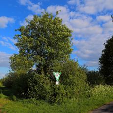
Halverder Moor
4 km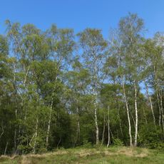
Im Jiewitt
4.2 km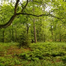
Wiechholz
4.6 km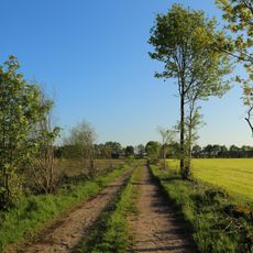
Kreienfeld
4.6 km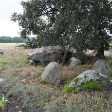
Großsteingrab Lintern
8 km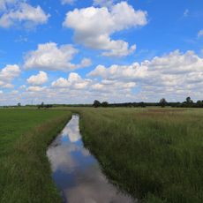
Halverder Aa-Niederung
7.5 km
Wehrstroot
9.1 km
Finkenfeld
5.7 km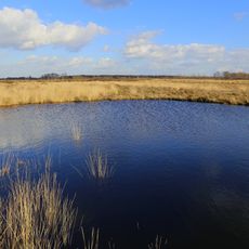
Mettinger und Recker Moor
6.3 km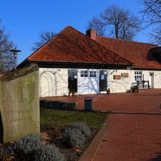
Alte Ruthemühle
9 km
Finkenfeld und Wiechholz
5.5 km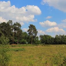
Koffituten
5.6 kmVisited this place? Tap the stars to rate it and share your experience / photos with the community! Try now! You can cancel it anytime.
Discover hidden gems everywhere you go!
From secret cafés to breathtaking viewpoints, skip the crowded tourist spots and find places that match your style. Our app makes it easy with voice search, smart filtering, route optimization, and insider tips from travelers worldwide. Download now for the complete mobile experience.

A unique approach to discovering new places❞
— Le Figaro
All the places worth exploring❞
— France Info
A tailor-made excursion in just a few clicks❞
— 20 Minutes