
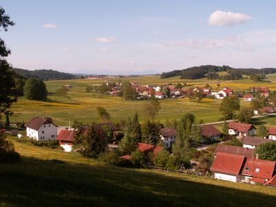
Osterzell, municipality of Germany
Location: Ostallgäu
Elevation above the sea: 729 m
Part of: Verwaltungsgemeinschaft Westendorf
Website: http://osterzell.de
GPS coordinates: 47.87889,10.74417
Latest update: March 7, 2025 10:47
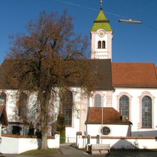
Sankt Gordian und Epimachus
2.4 km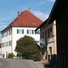
Schloss Osterzell
131 m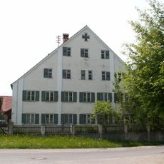
Pfarrhaus
2.4 km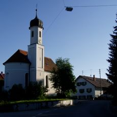
Filialkirche St. Blasius
3.3 km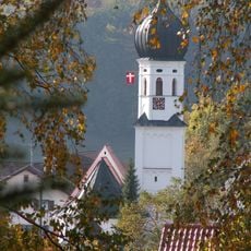
Pfarrkirche St. Lorenz und Agatha
1.2 km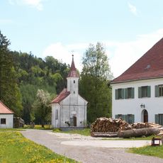
Katholische Kapelle St. Anna
2.5 km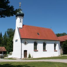
Kapelle St. Stephan und Ulrich
5.3 km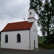
Katholische Kapelle St. Michael
4.1 km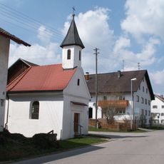
Katholische Kapelle Schmerzhafte Muttergottes
1.3 km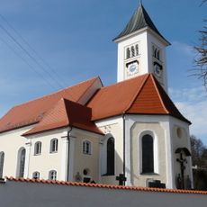
Pfarrkirche St. Stephan und Oswald
138 m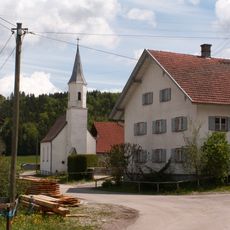
Katholische Kapelle Allerheiligen
3.2 km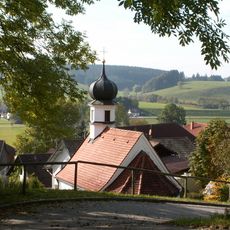
Katholische Kapelle St. Antonius von Padua
1.2 km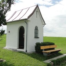
Wegkapelle
4.7 km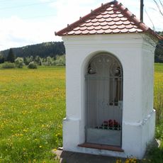
Feldkapelle
4.2 km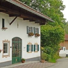
Bauernhaus
1.3 km
Ehem. Schloss
131 m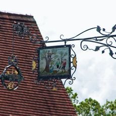
Ausleger
88 m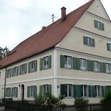
Pfarrhaus
1.2 km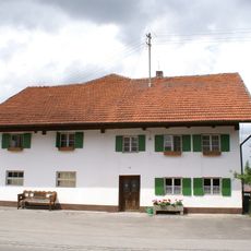
Bauernhaus
2.2 km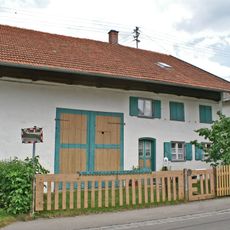
Bauernhaus
2.1 km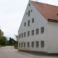
Gasthaus
932 m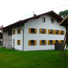
Bauernhaus
4.2 km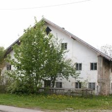
Wohnteil eines Bauernhauses
1.2 km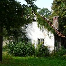
Zuhaus
1.2 km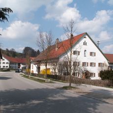
Ehem. Bauernhaus
321 m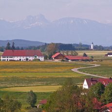
Ehem. Schwaighof
2.5 km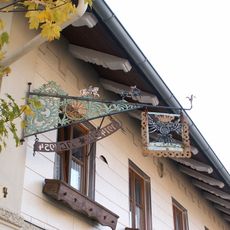
Ausleger
2.4 km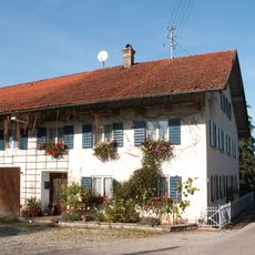
Bauernhaus
2.5 kmVisited this place? Tap the stars to rate it and share your experience / photos with the community! Try now! You can cancel it anytime.
Discover hidden gems everywhere you go!
From secret cafés to breathtaking viewpoints, skip the crowded tourist spots and find places that match your style. Our app makes it easy with voice search, smart filtering, route optimization, and insider tips from travelers worldwide. Download now for the complete mobile experience.

A unique approach to discovering new places❞
— Le Figaro
All the places worth exploring❞
— France Info
A tailor-made excursion in just a few clicks❞
— 20 Minutes