
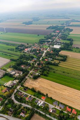
Osterbruch, Municipality in the joint municipality of Land Hadeln in the district of Cuxhaven, Lower Saxony, Germany
Location: Land Hadeln
Location: Cuxhaven
Elevation above the sea: 0 m
Website: https://osterbruch.de
GPS coordinates: 53.78026,8.94469
Latest update: March 6, 2025 22:44
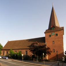
St. Severi
4.3 km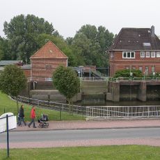
Otterndorf
5.8 km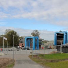
Hadelner Kanalschleuse
5.7 km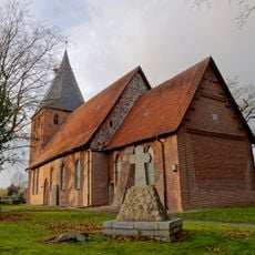
St. Marien
3.3 km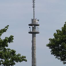
Fernmeldeturm Otterndorf
5.1 km
Museum gegenstandsfreier Kunst
4.1 km
Schloss Otterndorf
4.4 km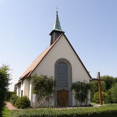
Heilig-Kreuz-Kirche
4.1 km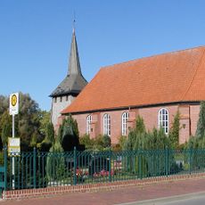
St. Johannes der Täufer in Bülkau
4.2 km
Hl. Herz Jesu
6.1 km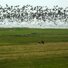
Hadelner und Belumer Außendeich
5.9 km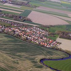
Gut Wellingsbüttel
3.1 km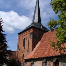
Belum church
5.3 km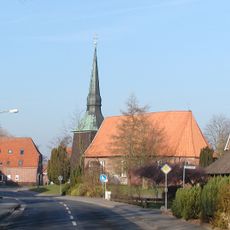
St.-Petri-Kirche
300 m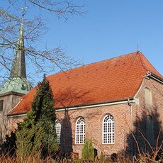
St. Nicolai-Kirche
6.2 km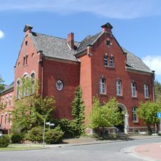
Amtsgericht Neuhaus
6.3 km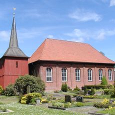
St. Jürgen-Kirche
2.6 km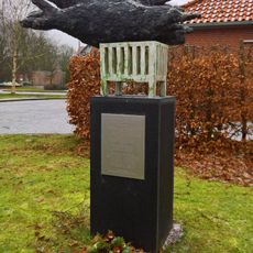
Skulptur Rachel Kohn
4.6 km
Otterndorf range rear light
5.9 km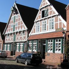
Johann-Heinrich-Voß-Literaturmuseum
4.3 km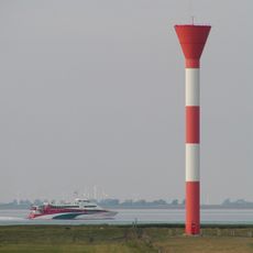
Belum range rear light
6.1 km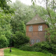
Torhaus Otterndorf - Sammlung Labiau/Ostpreußen
4.5 km
Bibliothek Otterndorf
4.4 km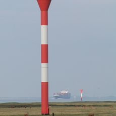
Otterndorf range lights
5.8 km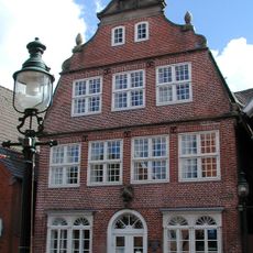
Kranichhaus - Museum des alten Landes Hadeln
4.1 km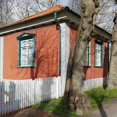
Gartenhaus am Süderwall
4.2 km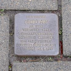
Stolperstein dedicated to Georg Arp
5 km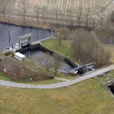
Kanalschleuse Otterndorf
5.7 kmVisited this place? Tap the stars to rate it and share your experience / photos with the community! Try now! You can cancel it anytime.
Discover hidden gems everywhere you go!
From secret cafés to breathtaking viewpoints, skip the crowded tourist spots and find places that match your style. Our app makes it easy with voice search, smart filtering, route optimization, and insider tips from travelers worldwide. Download now for the complete mobile experience.

A unique approach to discovering new places❞
— Le Figaro
All the places worth exploring❞
— France Info
A tailor-made excursion in just a few clicks❞
— 20 Minutes