
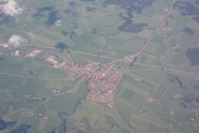
Unterthingau, market municipality of Germany
Location: Ostallgäu
Elevation above the sea: 773 m
Part of: Verwaltungsgemeinschaft Unterthingau
Shares border with: Wald, Marktoberdorf
Website: http://unterthingau.de
GPS coordinates: 47.76667,10.50000
Latest update: March 7, 2025 10:50
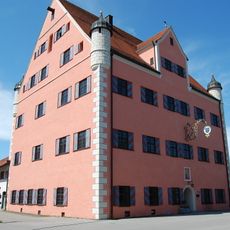
Schloss Unterthingau
668 m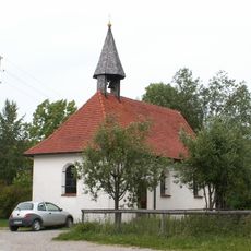
Maria Patrona Bavariä
5.1 km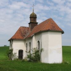
Kapelle Maria Trost
1.6 km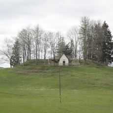
Seelenkapelle (Unterthingau)
1.9 km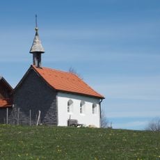
Maria Hilf Kapelle
1.9 km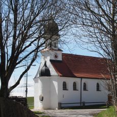
Kapelle St. Joseph
1.9 km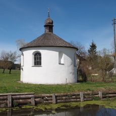
Antoniuskapelle
3.7 km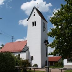
Katholische Filialkirche St. Anna
2.9 km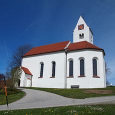
St. Martin, Maria Magdalena und Georg
2.5 km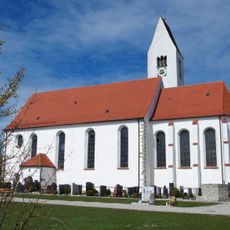
St. Nikolaus
796 m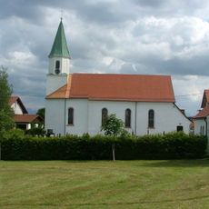
Filialkirche Mariä Heimsuchung
4.8 km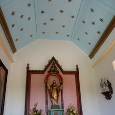
Schwedenkapelle
4.8 km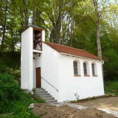
Kapelle
2.9 km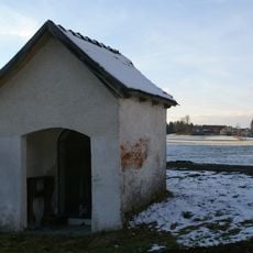
Wegkapelle
5.7 km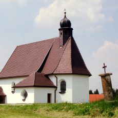
Flight into Egypt chapel
6.6 km
St. Maria
3.9 km
Kapelle St. Eustachius
6.4 km
Kempter Wald mit Oberem Rottachtal
5.3 km
St. Stephan
1.9 km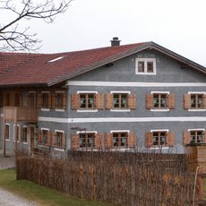
Bauernhaus
1.7 km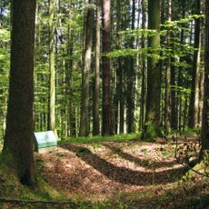
Cultural heritage D-7-8229-0009 in Unterthingau
4.4 km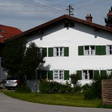
Wohnhaus
595 m
Wertachhalde
4.5 km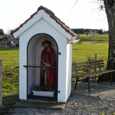
Bildstock
6 km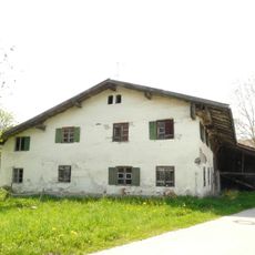
Bauernhaus
1.9 km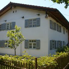
Bauernhaus
2 km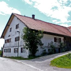
Bauernhaus
1.9 km
Reviews
Visited this place? Tap the stars to rate it and share your experience / photos with the community! Try now! You can cancel it anytime.
Discover hidden gems everywhere you go!
From secret cafés to breathtaking viewpoints, skip the crowded tourist spots and find places that match your style. Our app makes it easy with voice search, smart filtering, route optimization, and insider tips from travelers worldwide. Download now for the complete mobile experience.

A unique approach to discovering new places❞
— Le Figaro
All the places worth exploring❞
— France Info
A tailor-made excursion in just a few clicks❞
— 20 Minutes