
Kirchworbis, municipality of Germany
Location: Eichsfeld
Elevation above the sea: 315 m
Website: http://kirchworbis.de
GPS coordinates: 51.41083,10.39722
Latest update: March 29, 2025 03:47
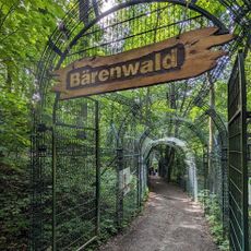
Alternativer Bärenpark Worbis
3.9 km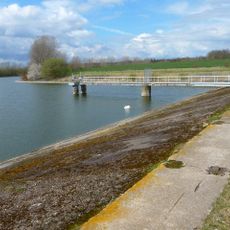
Talsperre Birkungen
5.7 km
St. Mariä Heimsuchung (Breitenholz)
4 km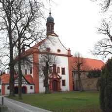
St. Antonius (Kloster Worbis)
2.2 km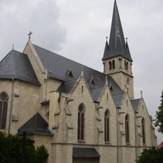
St. Maria Magdalena (Leinefelde)
6 km
Gutshaus Adelsborn
5.1 km
St. Stephan (Gernrode)
1.7 km
Kloster Worbis
2.2 km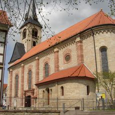
St. Nikolaus (Worbis)
2.9 km
St. Marien (Niederorschel)
5 km
Kreuzkirche
4.7 km
St. Vitus
2.1 km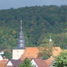
St. Martin (Kirchworbis)
137 m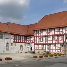
Rathaus Worbis
3 km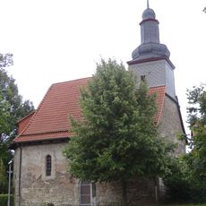
St. Johannes der Täufer
2.9 km
Klien
3.4 km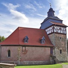
St. Judas Thaddäus
4.6 km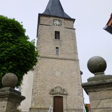
St. Margaretha (Breitenbach)
4.1 km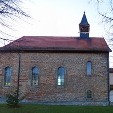
St. Katharina (Hausen)
3.5 km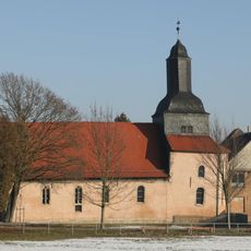
St. Anna (Haynrode)
4.9 km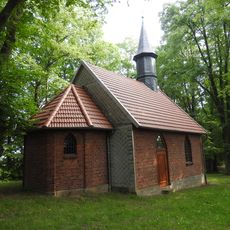
Marienkapelle Niederorschel
4.8 km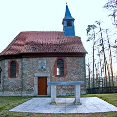
Rochuskapelle
4 km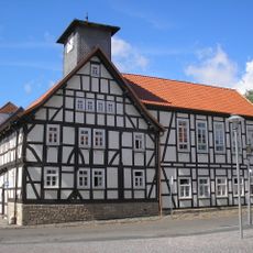
Museum Gülden Creutz
3 km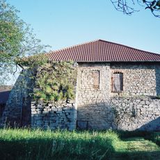
Steinernes Haus
5.1 km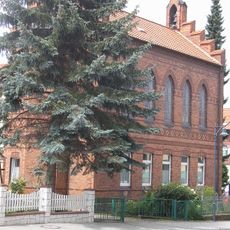
Protestant Church (Leinfelde)
5.7 km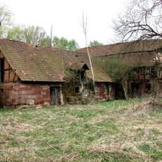
Schwarzburg mill
4.8 km
Franziskanerkloster Worbis
2.2 km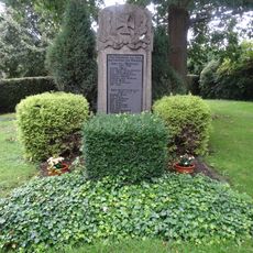
War memorial Kaltohmfeld
4.9 kmReviews
Visited this place? Tap the stars to rate it and share your experience / photos with the community! Try now! You can cancel it anytime.
Discover hidden gems everywhere you go!
From secret cafés to breathtaking viewpoints, skip the crowded tourist spots and find places that match your style. Our app makes it easy with voice search, smart filtering, route optimization, and insider tips from travelers worldwide. Download now for the complete mobile experience.

A unique approach to discovering new places❞
— Le Figaro
All the places worth exploring❞
— France Info
A tailor-made excursion in just a few clicks❞
— 20 Minutes