Eichsfeld

Log in to your account

AroundUs is a community-driven map of interesting places, built by curious explorers like you. It grows with every review, story, and photo you share.
Connect to save your favorite spots, contribute locations, and create personalized routes.
Continue with Google
Continue with Apple
Continue with X
Continue with Facebook
Continue with email
By continuing, you accept our Terms and Conditions and our Privacy Policy
Create an account
Add to collection
Map
Suggest a change
Share

Eichsfeld, Rural district in Thuringia, Germany.

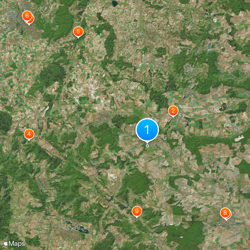
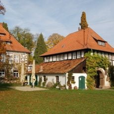
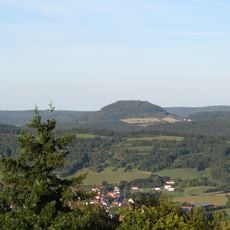
The Eichsfeld is a rural district in the north of Thuringia, stretching over gentle hills and forested areas up to the border with Lower Saxony. The landscape is shaped by small villages, fields and meadows that lie between wooded ridges and connect to the Harz foothills in the north.

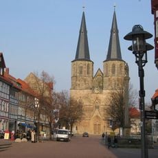
The area belonged to the Archbishopric of Mainz for centuries and remained Catholic while surrounding territories became Protestant in the 16th century. After secularization in the early 19th century, the region changed hands several times before becoming part of Thuringia in 1945.

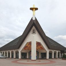
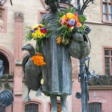
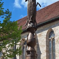
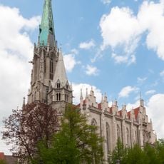
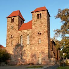
The name comes from a medieval forest and now refers to a landscape between the Harz mountains and the Thuringian Basin. Catholic traditions remain visible in village churches and local feast days that differ from those in the Protestant regions surrounding this part of Thuringia.

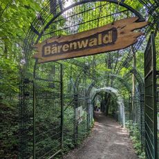
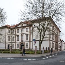
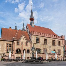
Heilbad Heiligenstadt is the district seat and offers information points for visitors who want to explore hiking trails and cycling routes through the hilly countryside. Smaller towns and villages are accessible via country roads that wind through valleys and over ridges.

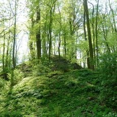
The headwaters of both the Leine and Unstrut rivers originate within the district, giving the area an important role in regional hydrology. Scattered beech forests on the ridges count among the oldest in the region.

Location: Thuringia

Capital city: Heilbad Heiligenstadt

Elevation above the sea: 438 m

Shares border with: Göttingen district, Nordhausen, Kyffhäuserkreis, Unstrut-Hainich-Kreis, Werra-Meißner-Kreis

Website: https://kreis-eic.de

GPS coordinates: 51.33000,10.25000

Latest update: December 13, 2025 19:08

Photos
Reviews

Visited this place? Tap the stars to rate it and share your experience / photos with the community! Try now! You can cancel it anytime.

« Eichsfeld - Rural district in Thuringia, Germany » is provided by Around Us (aroundus.com). Images and texts are derived from Wikimedia project under a Creative Commons license. You are allowed to copy, distribute, and modify copies of this page, under the conditions set by the license, as long as this note is clearly visible.

Discover hidden gems everywhere you go!

From secret cafés to breathtaking viewpoints, skip the crowded tourist spots and find places that match your style. Our app makes it easy with voice search, smart filtering, route optimization, and insider tips from travelers worldwide. Download now for the complete mobile experience.

Around Us App Screenshot

A unique approach to discovering new places

Le Figaro

All the places worth exploring

France Info

A tailor-made excursion in just a few clicks

20 Minutes