
Neuweiler, municipality in Baden-Württemberg, Germany
Location: Calw District
Location: Teinachtal GVV
Elevation above the sea: 642 m
Shares border with: Neubulach, Bad Teinach-Zavelstein, Oberreichenbach, Bad Wildbad, Simmersfeld, Altensteig
Website: https://neuweiler.de
GPS coordinates: 48.65806,8.59806
Latest update: March 7, 2025 00:42
Zavelstein Castle
7.8 km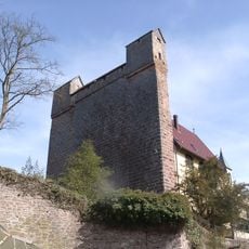
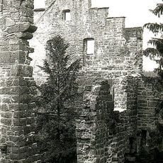
Burg Berneck
6 km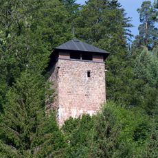
Fautsburg
3.9 km
Wanderheim Zavelstein
8.5 km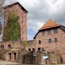
Burg Hornberg
4.7 km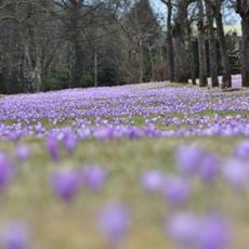
Zavelsteiner Krokuswiesen
8.1 km
Waldmoor-Torfstich
8.8 km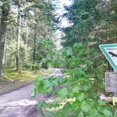
Hesel-, Brand- und Kohlmisse
7.3 km
Köllbachtal mit Seitentälern
4.7 km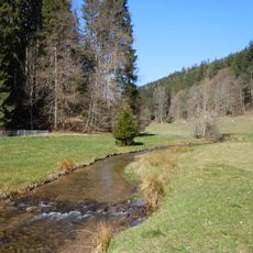
Kleinenztal und Schwarzwaldrandplatten
2.8 km
Falchenwiesen
468 m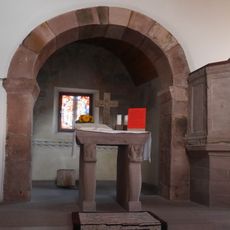
Bartholomäuskirche Oberhaugstett
6.1 km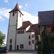
Jodokuskirche Neubulach
7.2 km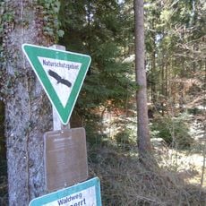
Schmalzmisse
6.8 km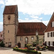
Georgskirche
7.8 km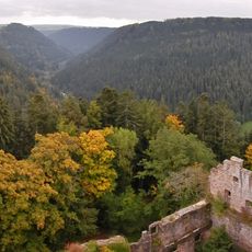
Teinachtal mit Seitentälern
4.9 km
Bergfried Fautsburg
3.9 km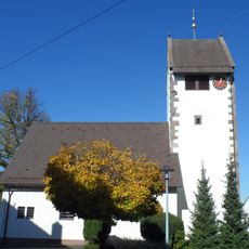
Kirche Martinsmoos
2.9 km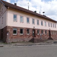
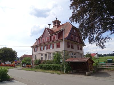
Rathaus Würzbach
7.2 km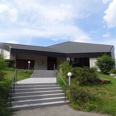
Auferstehungkirche Agenbach
3.9 km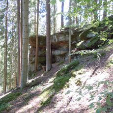
Franzosenfels, Bad Teinach-Zavelstein
5.4 km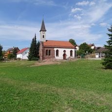
Church in Würzbach
7.2 km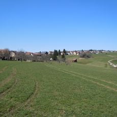
Köllbachtal mit Seitentälern
4.9 km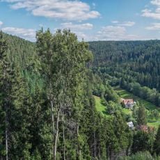
Großes und Kleines Enztal mit Seitentälern
7.4 km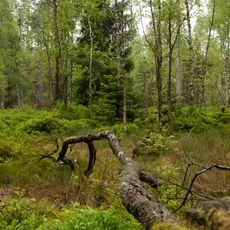
Waldmoor - Torfstich
8.3 km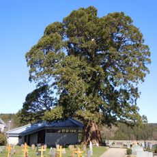
Wellingtonie
6.9 km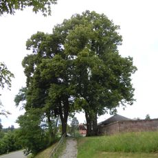
Drei Linden am Friedhof
2.9 km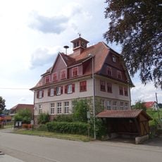
Schulhaus
4.2 kmVisited this place? Tap the stars to rate it and share your experience / photos with the community! Try now! You can cancel it anytime.
Discover hidden gems everywhere you go!
From secret cafés to breathtaking viewpoints, skip the crowded tourist spots and find places that match your style. Our app makes it easy with voice search, smart filtering, route optimization, and insider tips from travelers worldwide. Download now for the complete mobile experience.

A unique approach to discovering new places❞
— Le Figaro
All the places worth exploring❞
— France Info
A tailor-made excursion in just a few clicks❞
— 20 Minutes