
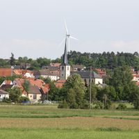
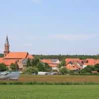
Steinfeld, municipality of Germany
Location: Main-Spessart
Elevation above the sea: 277 m
Part of: Verwaltungsgemeinschaft Lohr am Main
Shares border with: Lohr am Main, Neustadt am Main, Roden, Urspringen, Karlstadt am Main
Website: http://steinfeld-msp.de
GPS coordinates: 49.95000,9.66667
Latest update: April 23, 2025 06:49

Abtei Neustadt am Main
7.3 km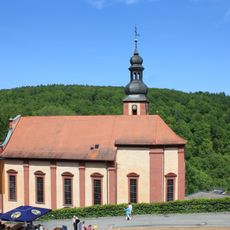
Mariabuchen
5.3 km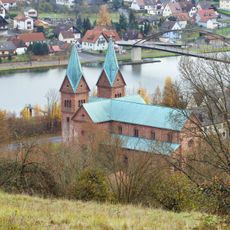
Neustadt am Main Abbey
7.3 km
St. Michael und St. Gertraud Neustadt am Main
7.3 km
Schloss Rodenbach
5.3 km
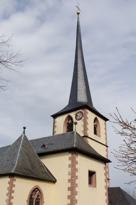
Pfarrkirche
302 m
Mäusberg-Rammersberg-Ständelberg
5.6 km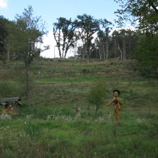
Romberg
6.4 km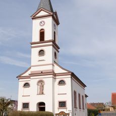
Kirche
1.3 km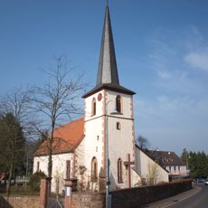
Pfarrkirche
5 km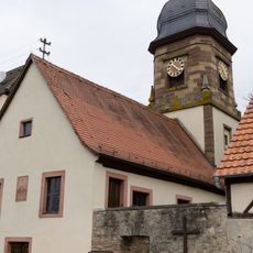
Pfarrkirche
3.5 km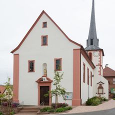
Kirche
6.8 km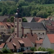
Kirche
3.1 km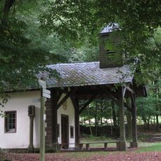
Wallfahrtskapelle
4 km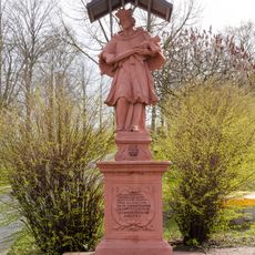
St. Nepomuk-Statue
488 m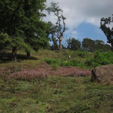
Naturschutzgebiet 'Romberg'
6.4 km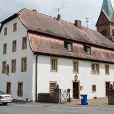
Pfarrhaus
7.2 km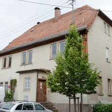
Bürgerzentrum
7.4 km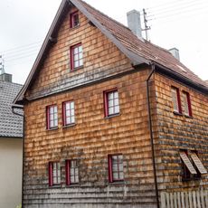
Wohnhaus
7.3 km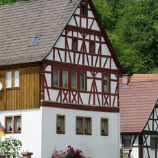
Wohnhaus
7.2 km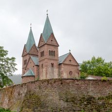
Klosterkirche
7.3 km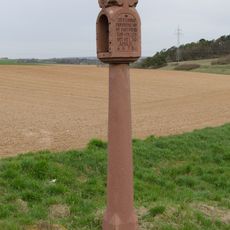
Bildstock
3.3 km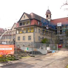
Internat
7.6 km
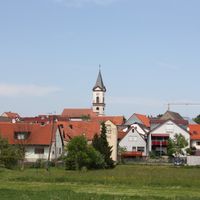
Mäusberg, Rammersberg, Ständelberg und Umgebung
5.8 km
Gutshaus
5.3 km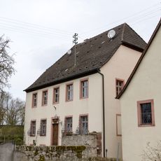
Pfarrhaus
3.5 km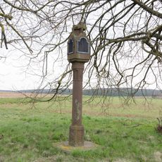
Bildstock
1.1 km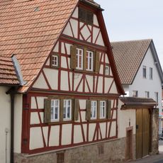
Bauernhaus
403 mVisited this place? Tap the stars to rate it and share your experience / photos with the community! Try now! You can cancel it anytime.
Discover hidden gems everywhere you go!
From secret cafés to breathtaking viewpoints, skip the crowded tourist spots and find places that match your style. Our app makes it easy with voice search, smart filtering, route optimization, and insider tips from travelers worldwide. Download now for the complete mobile experience.

A unique approach to discovering new places❞
— Le Figaro
All the places worth exploring❞
— France Info
A tailor-made excursion in just a few clicks❞
— 20 Minutes