
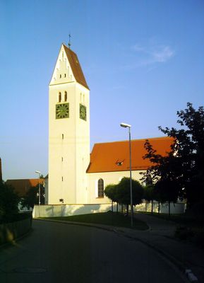
Kirchdorf an der Iller, municipality in Baden-Württemberg, Germany
Location: Biberach district
Location: Illertal GVV
Elevation above the sea: 551 m
Shares border with: Berkheim, Tannheim
Website: http://kirchdorf-iller.de
GPS coordinates: 48.07500,10.12944
Latest update: March 10, 2025 09:55
Kloster Bonlanden
4.5 km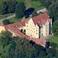
Schloss Erolzheim
4.8 km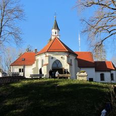
Maria im Busch
4.7 km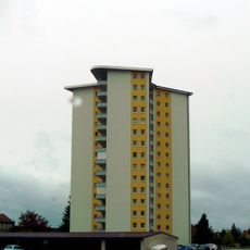
Hochhaus
408 m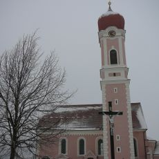
St. Martin (Heimertingen)
4.1 km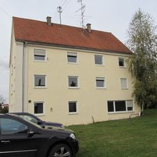
Synagoge Fellheim
1.8 km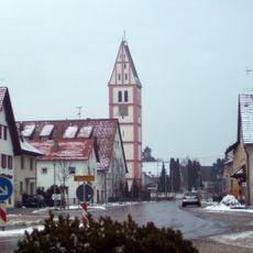
St. Konrad Berkheim
5.1 km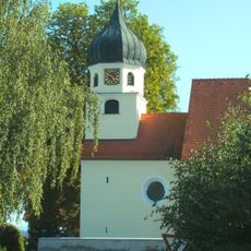
Filialkirche St. Josef (Illerbachen)
6.1 km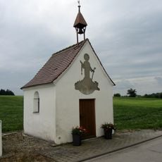
Bruder-Klaus-Kapelle
5.8 km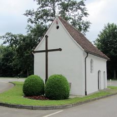
Riedkapelle (Unteropfingen)
2 km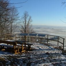
Burg Erolzheim
4.6 km
Jüdische Schule (Fellheim)
1.8 km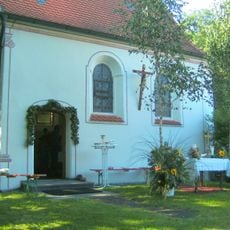
St. Vitus
6.3 km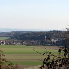
Iller-Rottal
4.9 km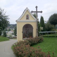
Bildstock
8.7 km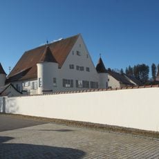
Pfarrhaus (Berkheim)
5.1 km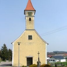
St. Martin
7.1 km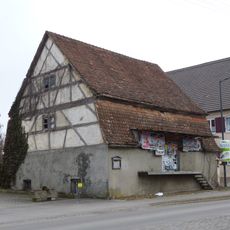
Fruchtspeicher Fellheim
1.7 km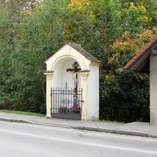
Wegkapelle
1.7 km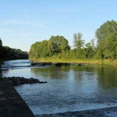
Illerauen nördlich von Buxheim
3 km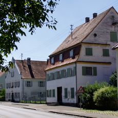
Ensemble ehemalige jüdische Siedlung
1.8 km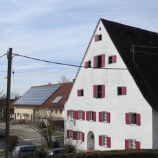
Ehemaliger Zehentstadel
4.2 km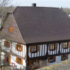
Ehemaliger Pfarrhof
4 km
Wohnhaus
1.7 km
Ehemalige jüdische Metzgerei
1.7 km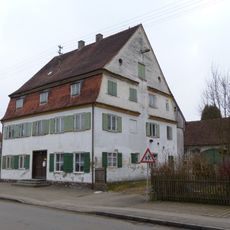
Wohnhaus
1.8 km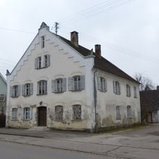
Sogenanntes Doktorhaus
1.8 km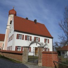
Ehemaliges Pfarrhaus
4.1 kmVisited this place? Tap the stars to rate it and share your experience / photos with the community! Try now! You can cancel it anytime.
Discover hidden gems everywhere you go!
From secret cafés to breathtaking viewpoints, skip the crowded tourist spots and find places that match your style. Our app makes it easy with voice search, smart filtering, route optimization, and insider tips from travelers worldwide. Download now for the complete mobile experience.

A unique approach to discovering new places❞
— Le Figaro
All the places worth exploring❞
— France Info
A tailor-made excursion in just a few clicks❞
— 20 Minutes