
Arzfeld, municipality of Germany
Location: Arzfeld
Elevation above the sea: 490 m
Website: http://vg-arzfeld.de
GPS coordinates: 50.08889,6.27528
Latest update: March 6, 2025 14:36
Neuerburg
8.8 km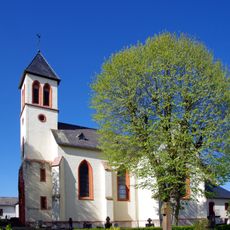
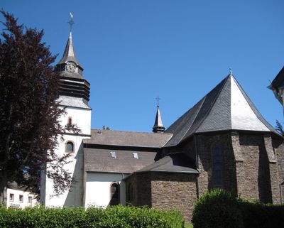
Saint Lucy Church (Eschfeld)
5.9 km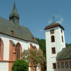
St. Nikolaus
8.8 km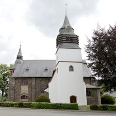
St. Maria Magdalena
162 m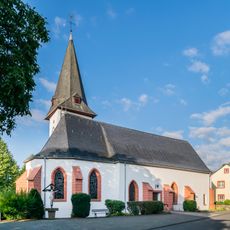
St. Matthäus
7 km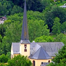
St. Johannes Baptist
6.3 km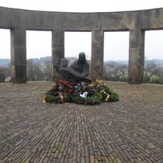
Ehrenfriedhof Daleiden
6.7 km
St. Lambertus
8.1 km
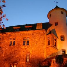
Hetzgeshof
4.8 km
St. Servatius
2.8 km
St. Aloysius
6.7 km
St Martin's Church (Ringhuscheid)
5.5 km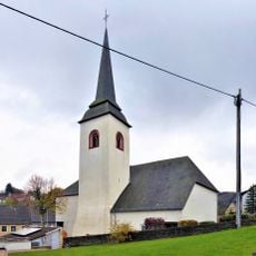
Saint Gertrude Church (Lünebach)
7.6 km
St. Peter in Ketten
4.5 km
St. Nikolaus
3.4 km
Church St. Valentin (Krautscheid)
4.8 km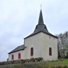
St. Lucia
2.7 km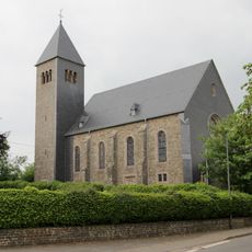
Church St. Josef
4.4 km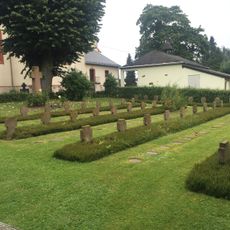
Kriegsgräberstätte Eschfeld
5.9 km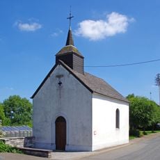
Vierzehn Nothelfer-Kapelle
5.5 km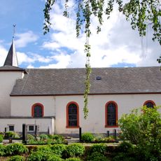
St. Simeon
7.4 km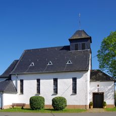
St. Celsus
8.8 km
St. Matthias und Wendelinus
7.6 km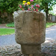
Taufbecken als christianisierter Menhir in Eschfeld
5.9 km
Taufbecken als christianisierter Menhir in Binscheid
3.4 km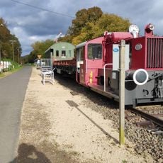
Freilicht-Eisenbahnmuseum Pronsfeld
9 km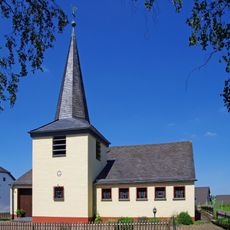
St. Fabian und Sebastian
6.8 km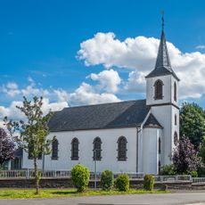
St. Isidor
4.5 kmVisited this place? Tap the stars to rate it and share your experience / photos with the community! Try now! You can cancel it anytime.
Discover hidden gems everywhere you go!
From secret cafés to breathtaking viewpoints, skip the crowded tourist spots and find places that match your style. Our app makes it easy with voice search, smart filtering, route optimization, and insider tips from travelers worldwide. Download now for the complete mobile experience.

A unique approach to discovering new places❞
— Le Figaro
All the places worth exploring❞
— France Info
A tailor-made excursion in just a few clicks❞
— 20 Minutes