
Heßheim, municipality of Germany
Location: Lambsheim-Heßheim
Elevation above the sea: 100 m
Website: http://vghessheim.de
GPS coordinates: 49.54583,8.30889
Latest update: May 29, 2025 19:50
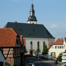
Laurentius Church (Dirmstein)
4.8 km
Sturmfedersches Schloss
4.8 km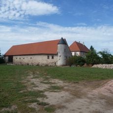
Bischöfliches Schloss
4.9 km
Sturmfederscher Kellergarten
4.8 km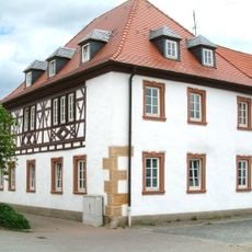
Ältestes Haus
4.8 km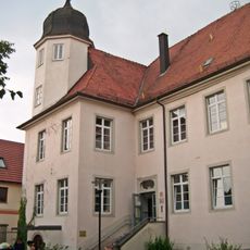
Meckenheimersches Schloss
3.9 km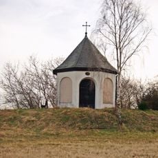
Heilig-Kreuz-Kapelle
5 km
Bakehouse (Dirmstein)
5 km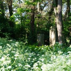
Alter Friedhof
4.1 km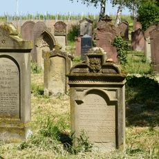
Jüdischer Friedhof Heuchelheim bei Frankenthal
2.7 km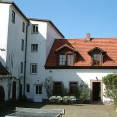
Spormühle
4.9 km
St.-Michael-Apotheke
4.8 km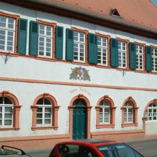
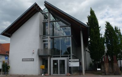
Altes Rathaus
4.8 km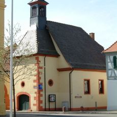
Spitalhof
4.8 km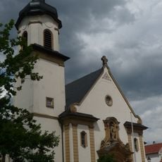
Katholische Kirche
2 km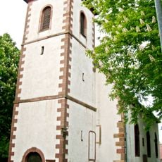
Protestant church (Heuchelheim bei Frankenthal)
2.4 km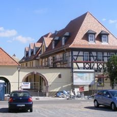
Franz Rothermels Haus
4.9 km
Niedermühle
3.9 km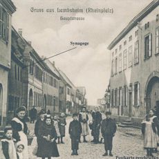
Synagoge in Lambsheim
3.9 km
Kornhof (Dirmstein)
4.8 km
Synagoge (Dirmstein)
4.8 km
Katholisches Schulhaus
4.8 km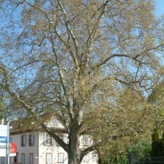
Platane am Kellergarten
4.8 km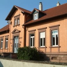
Protestantisches Schulhaus
4.8 km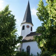
Protestantische Kirche Beindersheim
2 km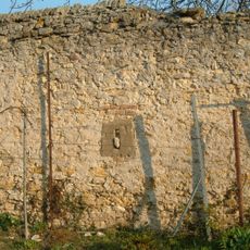
Ortsbefestigung
4.9 km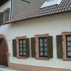
Schmiede
5 km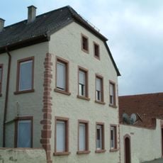
Johann Adam Schopens Hof
4.4 kmReviews
Visited this place? Tap the stars to rate it and share your experience / photos with the community! Try now! You can cancel it anytime.
Discover hidden gems everywhere you go!
From secret cafés to breathtaking viewpoints, skip the crowded tourist spots and find places that match your style. Our app makes it easy with voice search, smart filtering, route optimization, and insider tips from travelers worldwide. Download now for the complete mobile experience.

A unique approach to discovering new places❞
— Le Figaro
All the places worth exploring❞
— France Info
A tailor-made excursion in just a few clicks❞
— 20 Minutes