
Kleinkahl, municipality of Germany
Location: Aschaffenburg
Elevation above the sea: 233 m
Part of: Verwaltungsgemeinschaft Schöllkrippen
Shares border with: Schöllkrippen, Westerngrund, Schöllkrippener Forst
Website: https://gemeinde-kleinkahl.de
GPS coordinates: 50.11667,9.26667
Latest update: March 12, 2025 18:46
Altenburg
3.1 km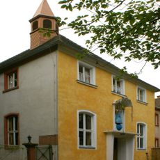
Kloster Reuschberg
2.8 km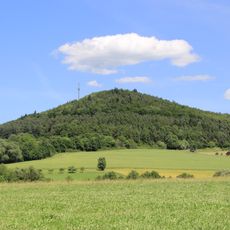
Reuschberg
3.1 km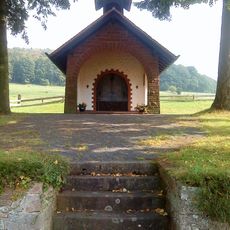
Heiligkreuzkapelle
420 m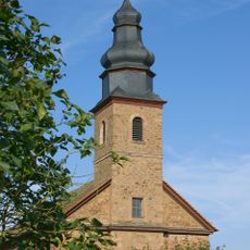
Pfarrkirche
1.7 km
Menschenkopf
1.8 km
Habersberg
653 m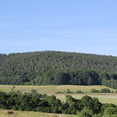
Glasberg
2.8 km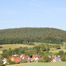
Herzberg
1.2 km
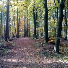
Amphibienfreistätte Sommergrund
3.4 km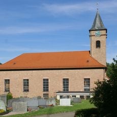
Pfarrkirche
1.4 km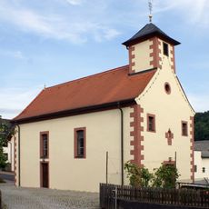
Kapelle
3.2 km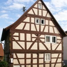
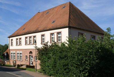
Wohnhaus
1.1 km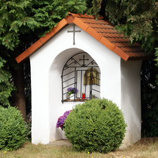
Bildstock
3.3 km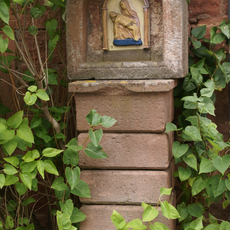
Bildstock in Kleinkahl
2.1 km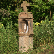
Bildstock
1.6 km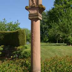
Bildstock
1.8 km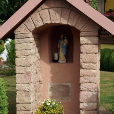
Hellchen Kleinlaudenbacher Straße
1.6 km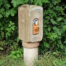
Bildstock
3.1 km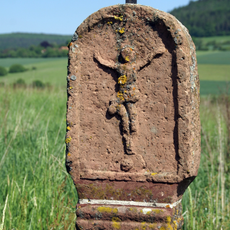
Bildstock
3.3 km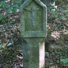
Bildstock
3.4 km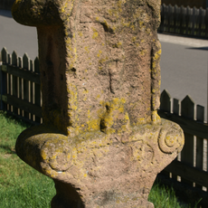
Bildstock
1.8 km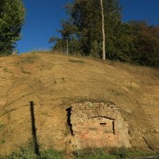
Straßenaufschluss SW von Wesemichshof
1.3 km
Kruzifix
1.1 km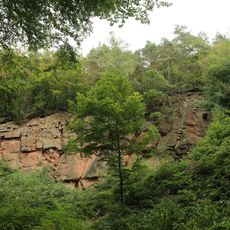
Sandsteinbruch NE von Röderhof
3.6 km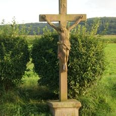
Wegkreuz
1.8 km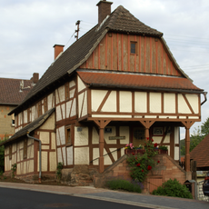
Wohnhaus
1.6 km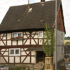
Wohnhaus
1.5 kmVisited this place? Tap the stars to rate it and share your experience / photos with the community! Try now! You can cancel it anytime.
Discover hidden gems everywhere you go!
From secret cafés to breathtaking viewpoints, skip the crowded tourist spots and find places that match your style. Our app makes it easy with voice search, smart filtering, route optimization, and insider tips from travelers worldwide. Download now for the complete mobile experience.

A unique approach to discovering new places❞
— Le Figaro
All the places worth exploring❞
— France Info
A tailor-made excursion in just a few clicks❞
— 20 Minutes