
Birkenfeld, municipality of Germany, Main-Spessart district
Location: Main-Spessart
Elevation above the sea: 210 m
Part of: Verwaltungsgemeinschaft Marktheidenfeld
Shares border with: Karbach, Urspringen, Zellingen, Leinach, Greußenheim, Remlingen
Website: http://gemeinde-birkenfeld.de
GPS coordinates: 49.86667,9.70000
Latest update: March 19, 2025 04:30
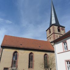
Chorturmkirche
7.1 km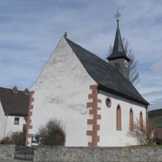
Kapelle
6.9 km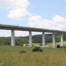
Bartelsgrabentalbrücke
6.6 km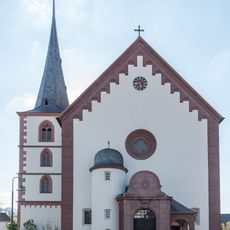
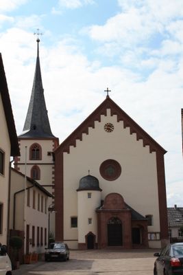
Kirche
1.1 km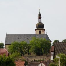
Pfarrkirche
4.5 km
Synagoge
4.5 km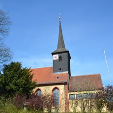
Pfarrkirche
1.6 km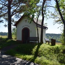
Feldkapelle
2.7 km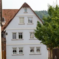
Bauernhof
4.5 km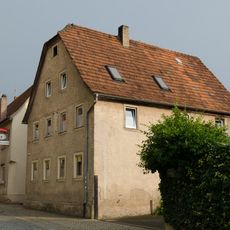
Bauernhof
4.5 km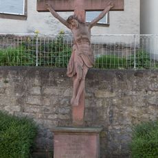
Kreuz
1.2 km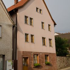
Wohnhaus
4.4 km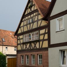
Bauernhof
4.5 km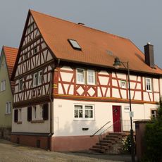
Bauernhof
4.4 km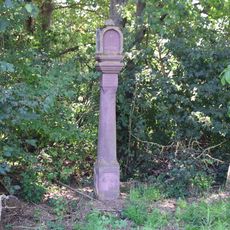
Bildstock
1.9 km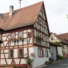
Wohnhaus
4.5 km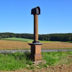
Bildstock
5.3 km
Bauernhof
1 km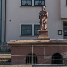
Brunnen
1.1 km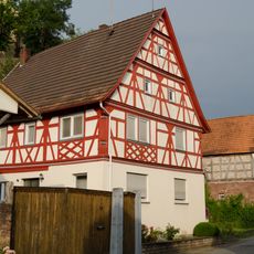
Wohnhaus
4.5 km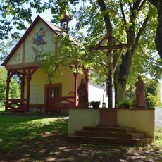
Kreuzigungsgruppe Ölberg in Birkenfeld (Unterfranken)
1.7 km
Kriegerdenkmal
1.7 km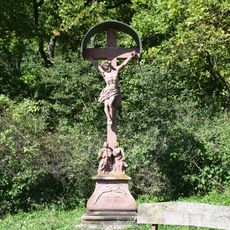
Wegkreuz
6.8 km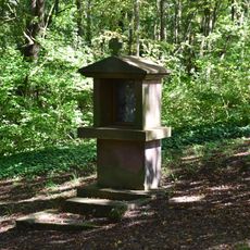
Kreuzwegstation Ölberg in Birkenfeld (Unterfranken)
1.7 km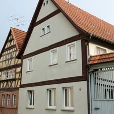
Wohnhaus
4.5 km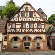
Gasthaus
4.5 km
Schulgebäude
4.4 km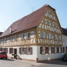
Gasthaus
1.1 kmReviews
Visited this place? Tap the stars to rate it and share your experience / photos with the community! Try now! You can cancel it anytime.
Discover hidden gems everywhere you go!
From secret cafés to breathtaking viewpoints, skip the crowded tourist spots and find places that match your style. Our app makes it easy with voice search, smart filtering, route optimization, and insider tips from travelers worldwide. Download now for the complete mobile experience.

A unique approach to discovering new places❞
— Le Figaro
All the places worth exploring❞
— France Info
A tailor-made excursion in just a few clicks❞
— 20 Minutes