
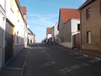
Stößen, municipality of Germany
Location: Wethautal
Elevation above the sea: 245 m
Shares border with: Mertendorf, Teuchern, Meineweh, Osterfeld
Website: https://vgem-wethautal.de/de/stoessen.html
GPS coordinates: 51.11422,11.92394
Latest update: March 5, 2025 03:56
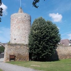
Burg Osterfeld
4 km
Gräberfeld von Stößen
89 m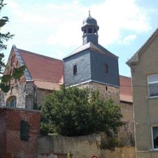
Protestant Church Osterfeld-Lissen
3.5 km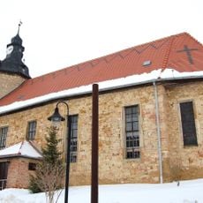
St. Petri
163 m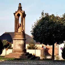
Kriegerdenkmal Stößen
12 m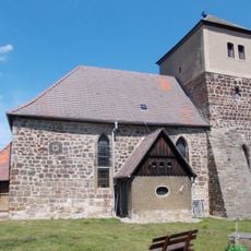
St. Crucis (Görschen)
1.7 km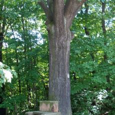
Woodpark Osterfeld
4 km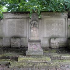
War memorial
4.4 km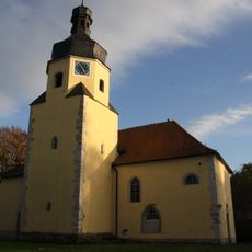
Dorfkirche Löbitz
4 km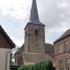
Dorfkirche Gröbitz
2.1 km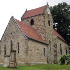
Kirche Prittitz
3.9 km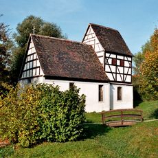
Protestant Church (Rathewitz)
3.6 km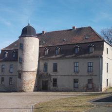
Herrenhaus Gröbitz
2.1 km
St. Trinitatis (Kistritz)
3.2 km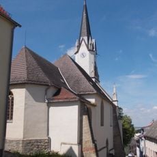
Luther Church (Osterfeld)
3.9 km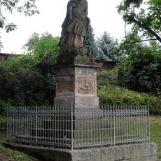
Memorial
2.3 km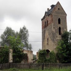
Kirche Plennschütz
4.4 km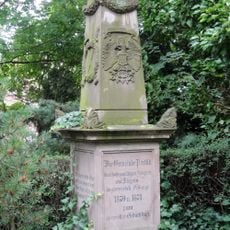
Franco-Prussian War memorial
3.9 km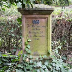
Friedensfest-Denkmal
3.9 km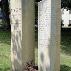
War memorial
2.1 km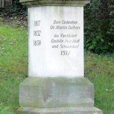
Martin-Luther-Denkmal
2.3 km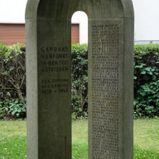
War memorial
3.9 km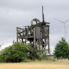
Bockwindmühle Prittitz
4.3 km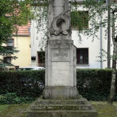
World War I memorial
3.9 km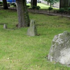
Stone crosses
2.1 km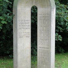
War memorial
4.4 km
War memorial
4.4 km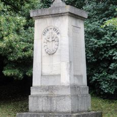
War memorial
2.3 kmReviews
Visited this place? Tap the stars to rate it and share your experience / photos with the community! Try now! You can cancel it anytime.
Discover hidden gems everywhere you go!
From secret cafés to breathtaking viewpoints, skip the crowded tourist spots and find places that match your style. Our app makes it easy with voice search, smart filtering, route optimization, and insider tips from travelers worldwide. Download now for the complete mobile experience.

A unique approach to discovering new places❞
— Le Figaro
All the places worth exploring❞
— France Info
A tailor-made excursion in just a few clicks❞
— 20 Minutes