
Freren, city of Germany
Location: Freren
Elevation above the sea: 33 m
Shares border with: Thuine, Messingen
Website: http://freren.de
GPS coordinates: 52.46667,7.53333
Latest update: April 8, 2025 20:46
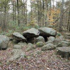
Großsteingrab in der Kunkenvenne
4.7 km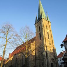
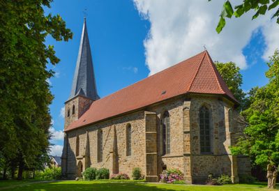
St. Georg
11.2 km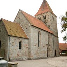
Zisterzienserinnenkloster Schale
6.7 km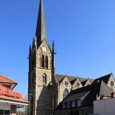
St. Benedikt (Lengerich)
9.7 km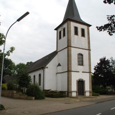
St. Peter und Paul
10.6 km
Koffituten
9.7 km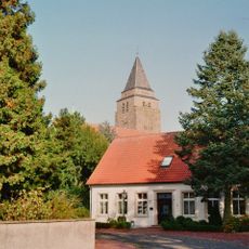
St. Ludgerus
7.6 km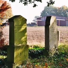
Jüdischer Friedhof
9.2 km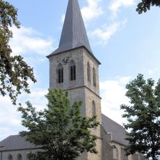
St. Servatius (Beesten)
4.1 km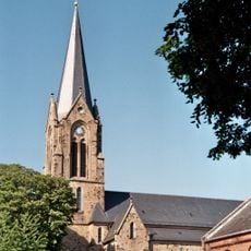
St. Vitus
2.5 km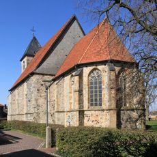
Reformierte Kirche Lengerich
9.7 km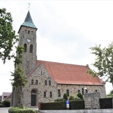
St. Maria Rosenkranz
10.4 km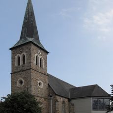
St. Vitus
8.3 km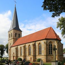
Evangelisch-reformierte Kirche
6.5 km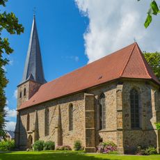
Evangelische Kirche
2.4 km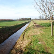
Bardelgraben
1.1 km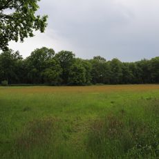
Fledder
4.9 km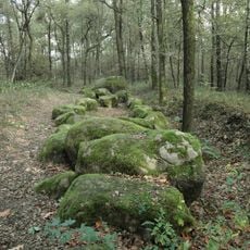
Großsteingrab im Alt-Frerener Forst
4.3 km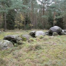
Großsteingrab auf dem Radberg
7.3 km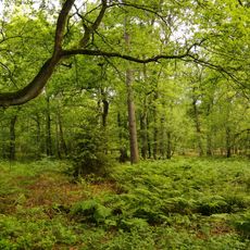
Wiechholz
10.5 km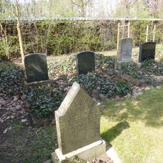
Jewish Cemetery
3.7 km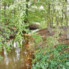
Moosbeeke
3.6 km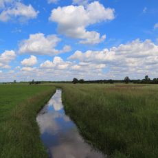
Halverder Aa-Niederung
8.3 km
Wehrstroot
7.1 km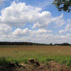
Finkenfeld
9.5 km
Waldfreibad Freren
3.9 km
Buschwiesen
1.9 km
Koffituten
9.6 kmVisited this place? Tap the stars to rate it and share your experience / photos with the community! Try now! You can cancel it anytime.
Discover hidden gems everywhere you go!
From secret cafés to breathtaking viewpoints, skip the crowded tourist spots and find places that match your style. Our app makes it easy with voice search, smart filtering, route optimization, and insider tips from travelers worldwide. Download now for the complete mobile experience.

A unique approach to discovering new places❞
— Le Figaro
All the places worth exploring❞
— France Info
A tailor-made excursion in just a few clicks❞
— 20 Minutes